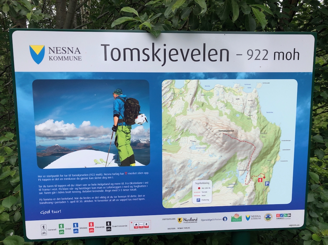
How to get there:
Take the ferry from Nesna to Tomma. If you bring a car, then you may
drive about 4 kilometer to the trailhead. Otherwise, the hike will be about
8 kilometer longer (road hike). Turn right immediately after leaving the
ferry access road. Drive almost the entire length of this road, when it starts
descending, locate a sign for Tomskjevelen on your left. There is parking for
2 cars at this location, N66.26530, E012.88175, elevation about 45 meter.
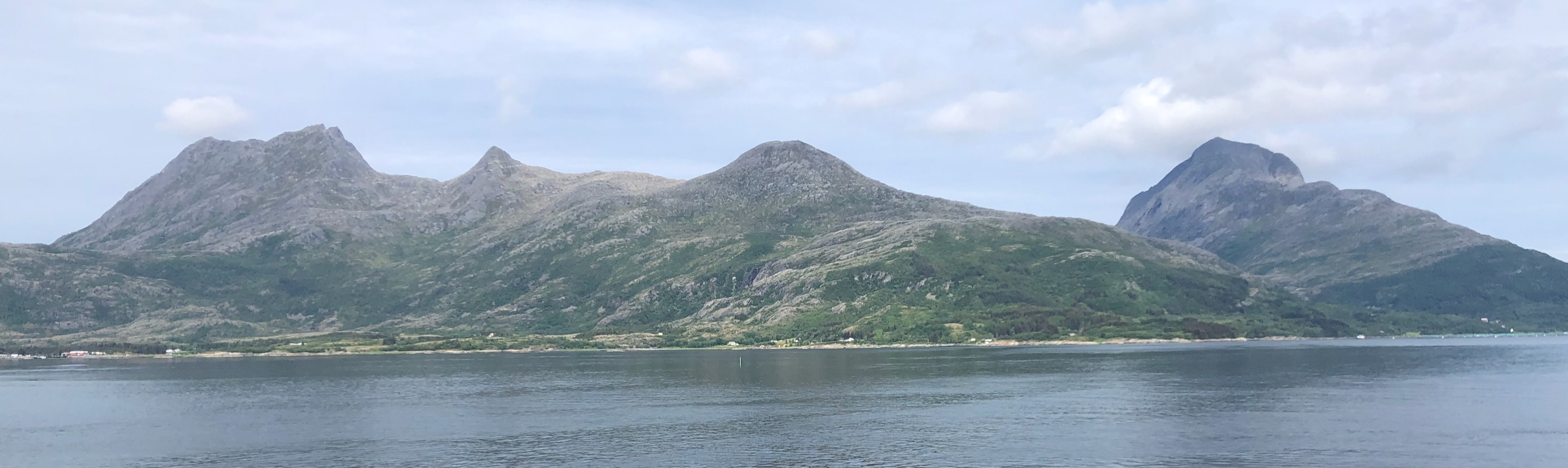
Route description:
Follow the big trail as it runs to the small river and crosses in a place with
several stepping stones. The trail is well marked with red paint (T marks). You will
pass several signs indicating the distance left (3km, 2km, 1km), the signs are not
very accurate as an indication of effort since the last kilometer has almost all
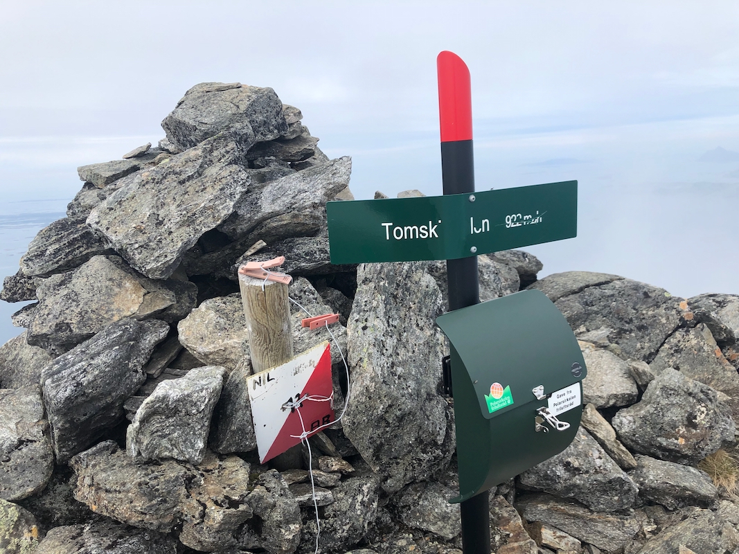
the elevation. You will eventually arrive on the top, well marked with a cairn as well
as a summit register.
Comments:
i did this hike with my friend Jostein.
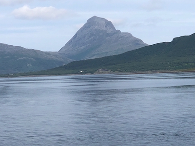
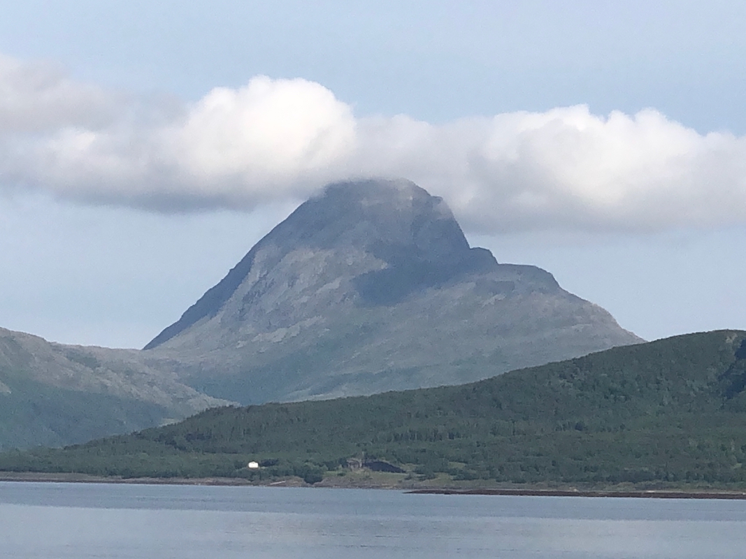
We had stayed in Nesna and took the first ferry across the next morning.
This hike is obviously quite
popular and there are several signs with information.
We started walking at 1115
and made the summit after 2 hours, 1315.
We spent 15 minutes on the top, before descending back to the car in 1:45,
a total trip time of 4 hours.