Location North 60.30856 East 005.71383 (GPS on the summit)
Fusa, Norway
Difficulty: YDS class 2
Climbed January 31, 2016.
Information:
How to get there:
Drive E-16 from Bergen to the traffic circle at Trengereid. Go right here on Hwy. 7 towards Hardanger.
When you exit the tunnel near Tysse, go right in the traffic circle on Hwy 48 direction Eikelandsosen.
There is a long tunnel, then the road starts climbing. After reaching the highest point pay
attention as you should take a small farm-road left before
you reach the lake Sævellavatnet.
The location is approximately N60.3358, E005.6904. This road is a toll road (self serve NOK 40 in 2015),
the toll is paid about 800 meter after you enter this small road. Drive this small road 3.1 kilometer.
You will then be at a fork where the right fork crosses over a small bridge.
Drive across and find parking on your left hand side almost immediately.
The road continues, but gets more rough.
this parking area is at location N60.32488 E005.72338, elevation about 250 meter.
Route description:
Continue along the forest road. It swings around near the lake, then climbs a
an uphill slope. Continue along the forest road (now flat), then take the right fork.
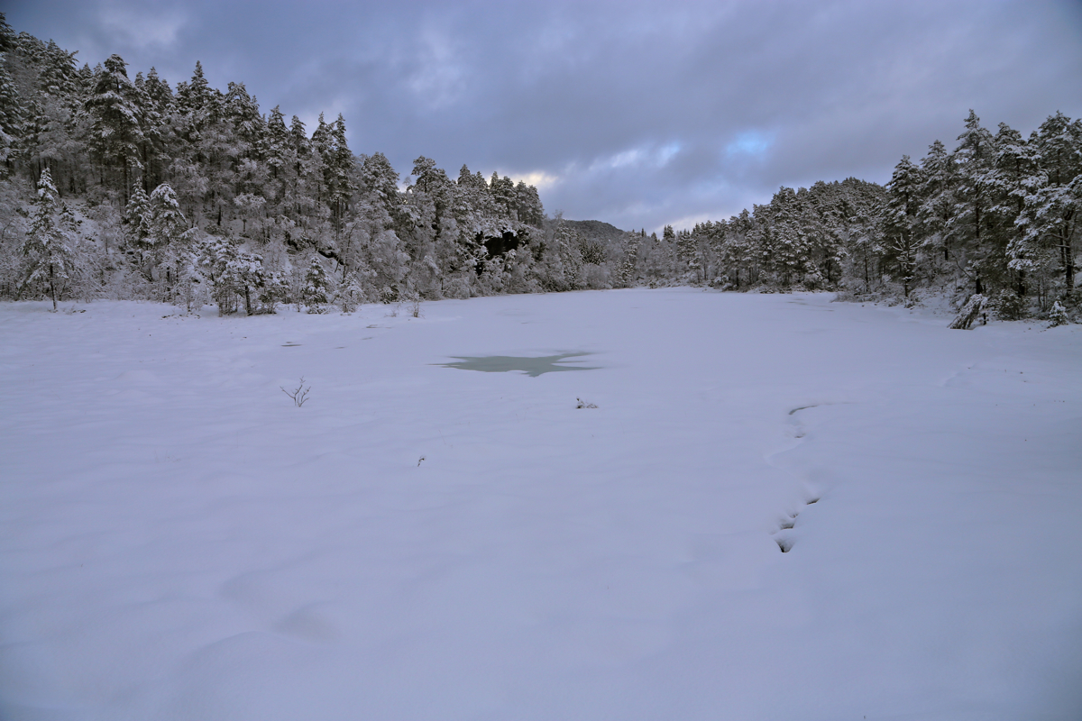
This road turns right around the lake Svarttjørna,
then climbs before turning left.
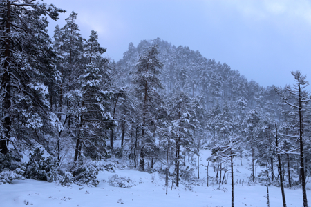
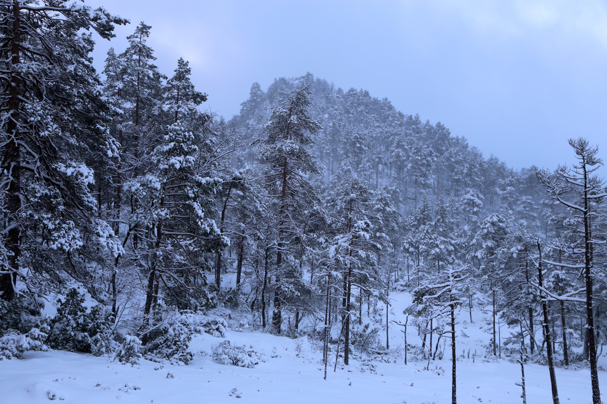
Leave the road before its highest point and follow the ridge (on your left) to the summit.
Comments:
This summit was marked by peakbook (and on Arnt's page) as having prominence 101 meter,
just enough to be counted as a separate peak. I drove my car to the parking following a farm tractor
track, would not have tried this with a 2WD. I left at 1250 and arrived on the top around 1340.
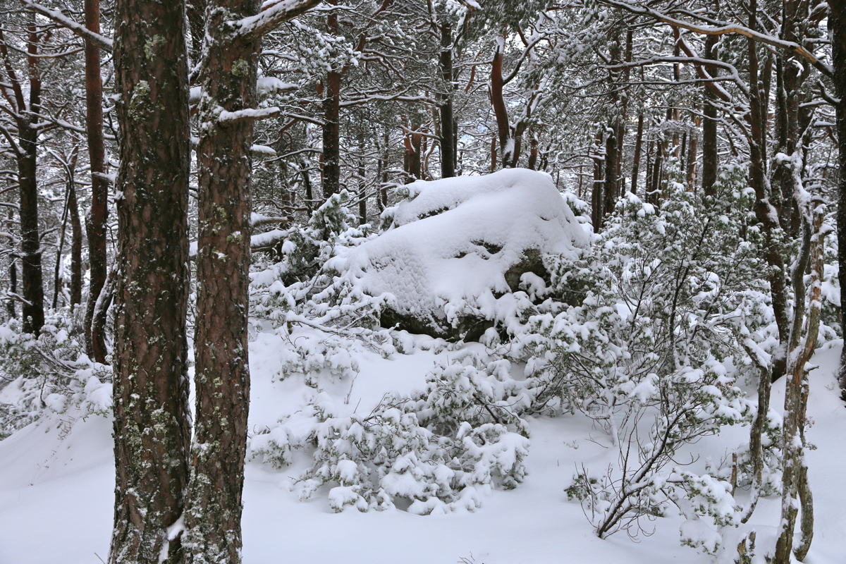
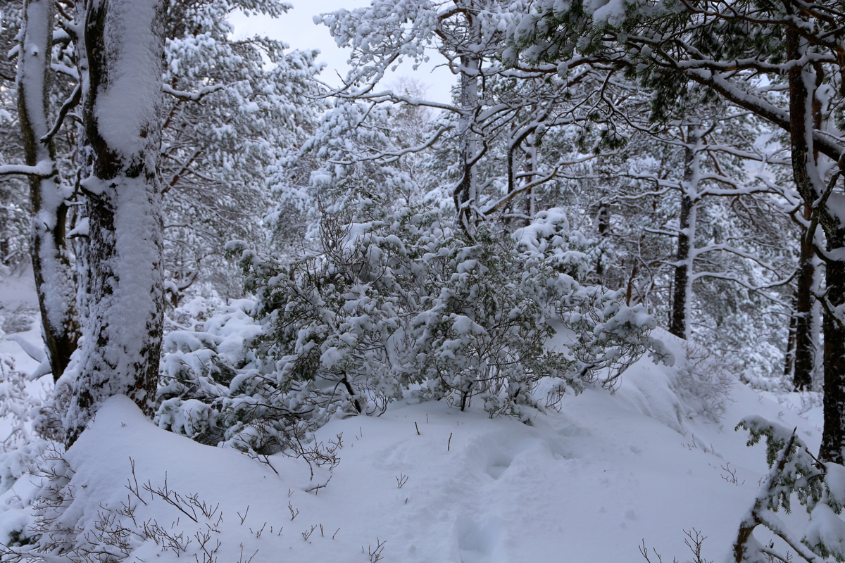
I broke trail all the way, the snow depth about half way to my knee.
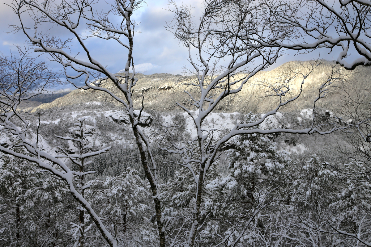
A 10 minute break to survey the local terrain,
then return in my own footsteps (much easier),
back at 1425.