Location North 65.81739 West 019.75942 (GPS on the summit)
Iceland
Difficulty: YDS class 2
Climbed May 19, 2016.
Information:
How to get there:
This mountain is located close to the small village Saudarkrokur on the
north coast of Iceland. Take Hwy. 744 out of town, going north on the
west side of our mountain. Roughly half way to the point where this Hwy.
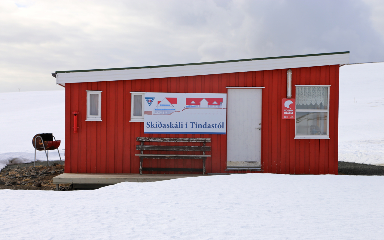
makes a sharp turn south, there is a signed road going right. This road
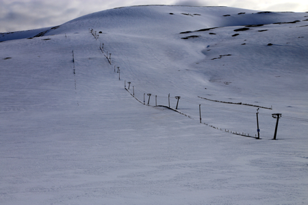
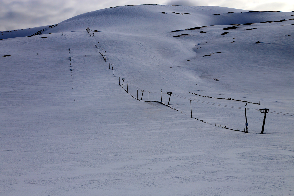
serves a small ski area. Take this road, it will climb considerably before
ending in an area for parking at the base
of the single ski lift. Park
here, location N65.77883 W019.76562, elevation about 460 meter.
Route description:
Head uphill on the left side of the ski lift.
There are two options,
one may climb high on the same mountain that has the ski lift, then
contour left to a distinct saddle connecting this mountain with the next
mountain north. Alternatively, start out in the same way, but contour into
the very distinct valley on your left side, then climb much more steeply to
the same saddle. This route can be done without loosing any elevation
along the way.
From this saddle, continue north along a pretty broad ridge that eventually
narrows. Ski across a narrow band to connect to a large flat plateau
on the north side. Descend slightly and head more left (north-west) in order
to locate the highest point.
The entire area near this point is very flat.
There is a small cairn marking the high point.
Comments:
We had stayed in Saudarkrokur and expected this trip to be rather easy.
We left our car at 0840 and opted for the route that first climbs the ski-hill
directly uphill. The skiing was nice and the ridge had a somewhat unexpected
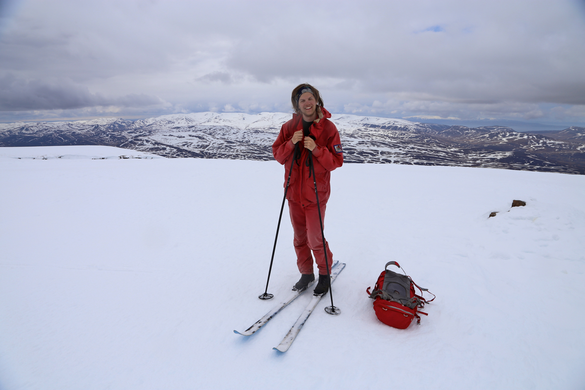
narrow section. We arrived at the small cairn at 1050, in good weather.
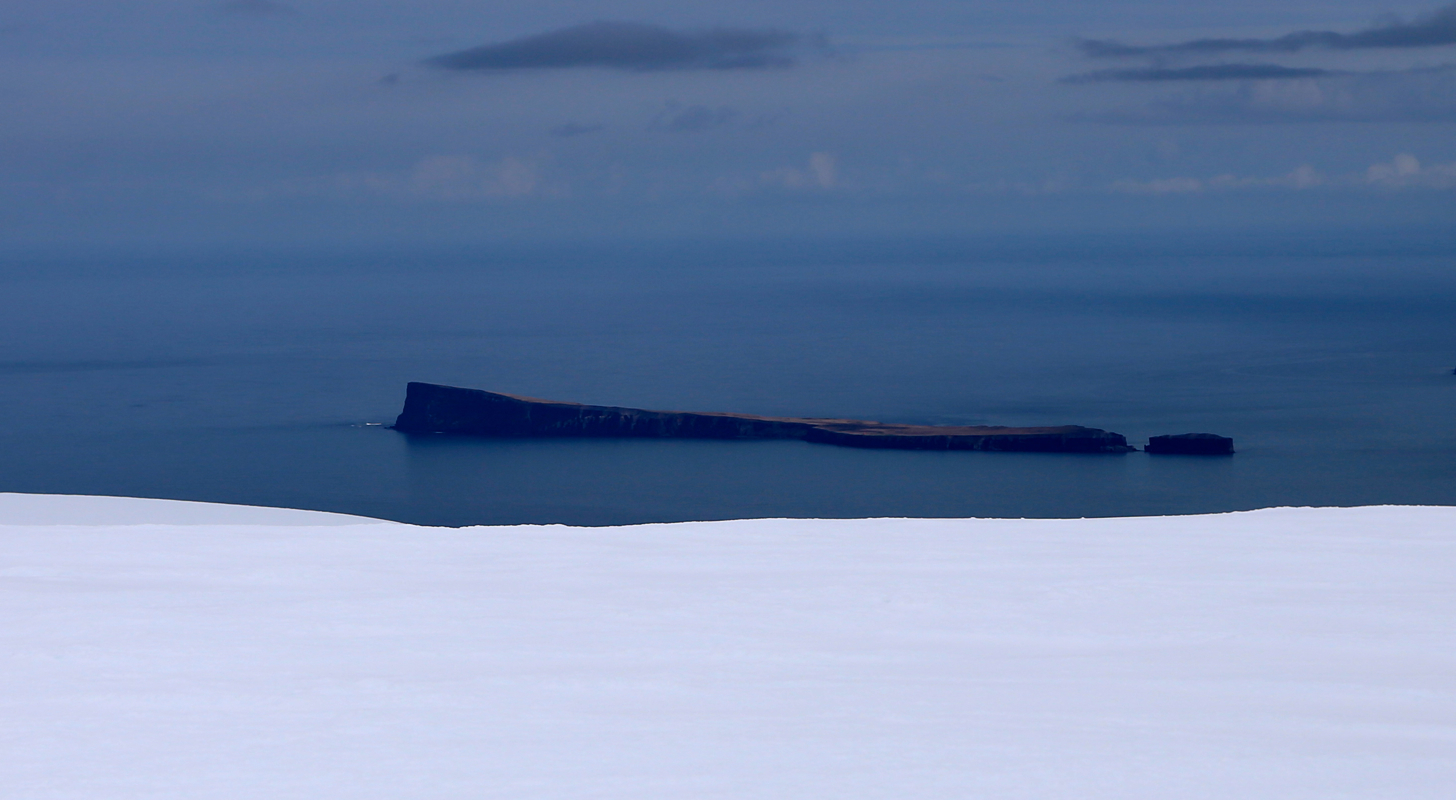
After enjoying the views
to fjord and mountains, we left at 1045 and skied
back to our car in 45 minutes.