Location: North 62:53.182, East 007:12.780 (GPS at the summit)
Climbed February 17. 2007.
Information:
How to get there:
Drive north from Molde and take Hwy. 64 left. There is a new tunnel under
Tusten (toll NOK 15), or you may drive around on the north side. Take Hwy. 663 left
at Moen and continue a short distance towards Elnesvåen. Before Elnesvåen,
make a right (on Haugliveien) just before a Esso gas station
at Haukås and head uphill, this area is
called Hauglia. Before the top, make a left on Øvre Kongefaret, then a right on
Ridderbakken, drive to the end where there is parking.
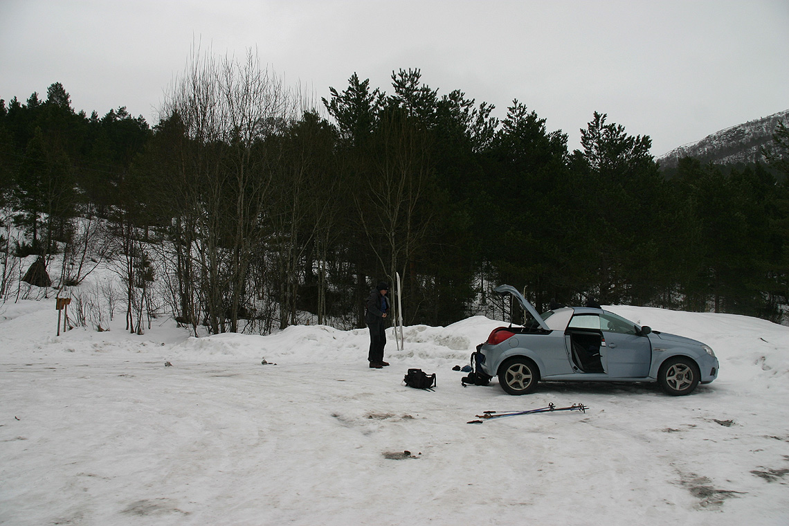
This is the trailhead, location N62:51.841, E007:10.726, elevation 141 meter.
Route description:
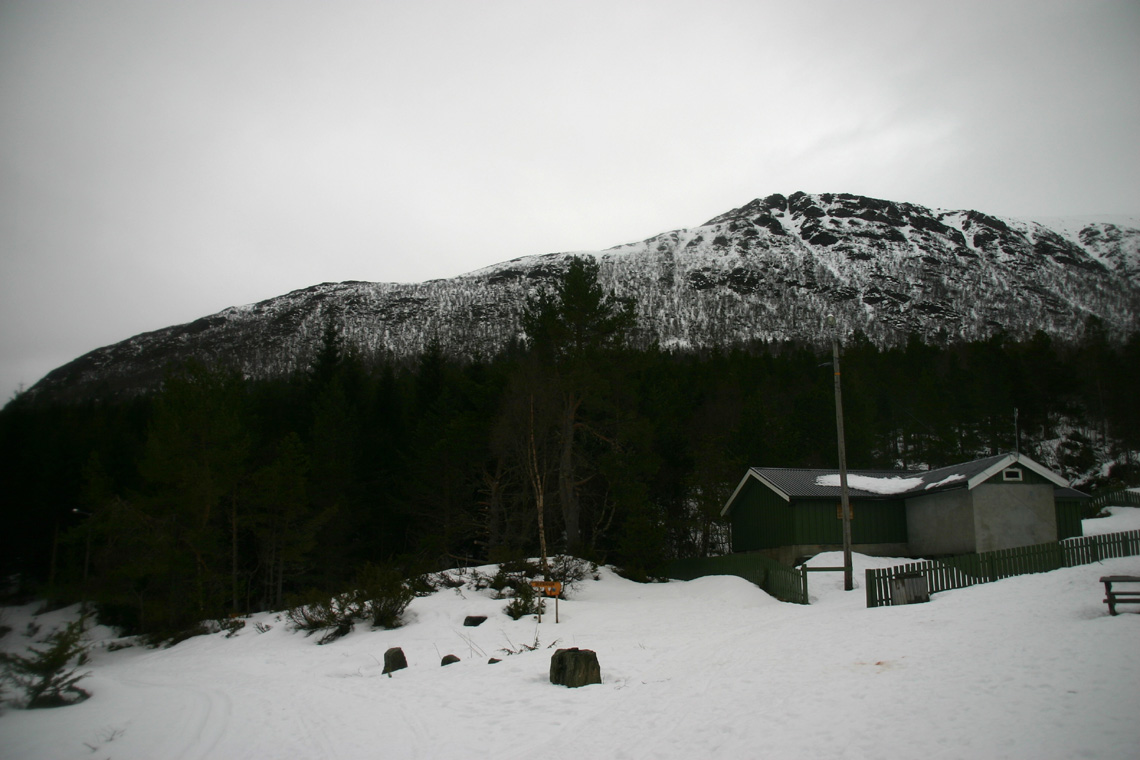
Take the obvious trail uphill from the trailhead, shortly it merges with a lighted
ski track, fork right and continue to Haukåsseter. Cross the creek and follow
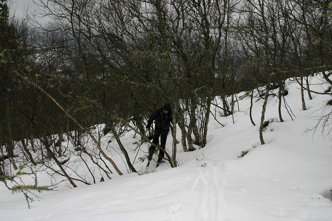
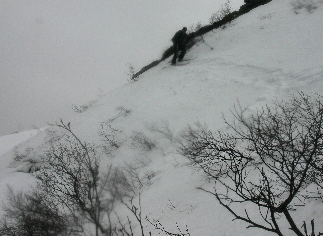
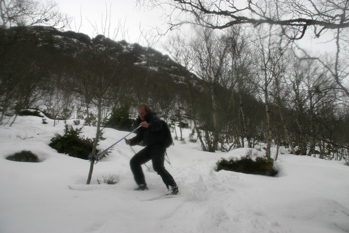
the trail up along the left side of the creek. Take a close look at the hillside up front.
It may look close to impossible to ski, but the ascent on skis is easier than it looks.
There are cliffs and rocks with some small gullies straight uphill. The best route is
an ascending traverse to the left in order to reach a small plateau just below the rocks.
It is easiest to make some zig-zags as you ascend, but going a bit further left than right
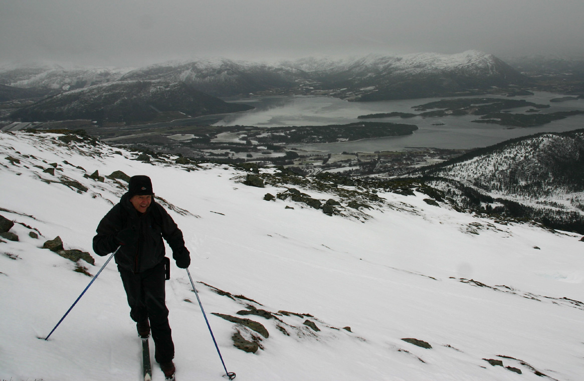
at each turn. The location where you should top out on the flat ridge is
N62:52.644, E007:10.670, at elevation 530 meter. The final stretch should be a traverse left
above a moderately steep slope before reaching top of the ridge.
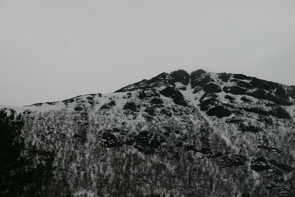
From here, ascend the main ridge, first on the left of the rock outcrop, then more along the
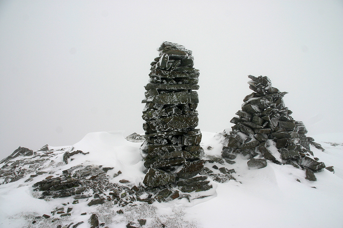
middle until you reach two cairns that marks the beginning of a level area before the ridge
again climbs towards the summit. Shortly before the summit, the ridge becomes more distinct.
Be aware of steep cliffs and cornices, in particular on your left, but also on your right
side along the upper part.
Comments:
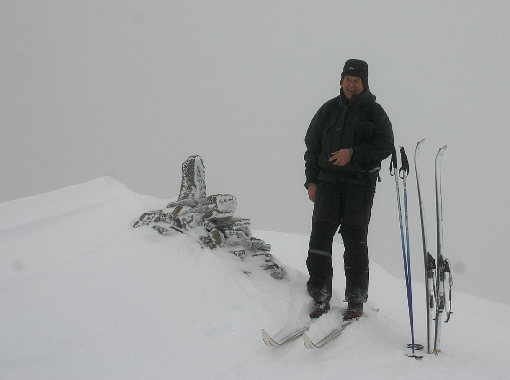
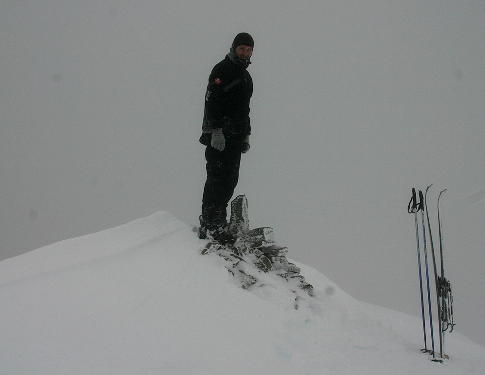
I did this climb with my friend Arnt. The hillside was the most feature best remembered
from this climb. It looked messy, however Arnt put in a very nice line of ascent that topped
out essentially perfectly. Higher, on the broad, main ridge we skied into the clouds and had
rather limited visibility. However, it never got really bad and we had no trouble with
safe navigation.
We left the car around 1120, completed the climb up the hillside to the main ridge at
1235 and made the summit at 1330. We spent about 10 minutes there, unfortunately, with very
limited visibility. We were back at the car at 1450 and drove to Molde in order to have a nice
dinner and a hotel stay before making an attempt on Snøtind
the next day.