Location: North 60.77560, 005.30960 (GPS at the summit).
Masfjorden, Norway
Difficulty, YDS class 2
Climbed on November 8. 2020
Information:
How to get there:
Drive E-39 north from Bergen. Just before entering the
long tunnel descending to Masfjorden, exit right, drive under the Hwy,
and head down the Haugsdalen valley. Roughly at 200 meter of elevation,
fork right on a small, paved road serving the farm Fosshaugen. Continue
past this farm and find parking on the left side of the road
shortly before the road crosses the small river/waterfall where a
cattleguard is located. There is parking for one car at this location
N60.83543, E005.55621. This is about 200 meter before the last farm,
named Bjørnekletten.
Note:
There is an easier route to this mountain if you start from the west end of
Langevatnet. This trailhead is reached from Hwy. E-39, by going right instead of left.
This report describes a route that may climb Lauvtonipa on the same trip.
Route description:
Walk towards the farm and cross uphill near the farm building to locate
a small gate at the lower end (left side) of a distinct rock fence that
runs uphill. Cross through this gate, the small trail starts here and heads
directly uphill, away from the stone fence. Higher up, the trail crosses
a small creek, continues a bit left before turning right while climbing the
hill having the creek on your right hand side.
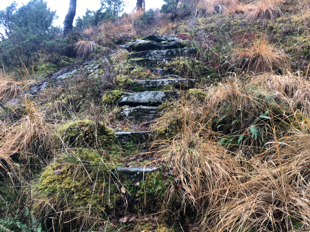
The trail is quite nice and one may see that the farm improved it many
years ago, making stone steps to
facilitate walking. The trail ascends
a small ridge, then climbs the final slope to reach the col connecting
to Smørdalen valley going north.
Descend a short distance north until the terrain provides natural access
to hike east. Cross east to the south end of lake Langetjørna.
Continue south-east towards Svartetjørnfjellet, be aware of a small
lake that runs across your direction of travel, you should aim for the col
north-east of Stemmetjørna. It is best to (slightly) descend to this
col, the birch trees below col should be avoided.
From this col, ascend the ridge, it is a bit steepish, but not difficult
in the beginning, the ascent becomes easier as you move higher.
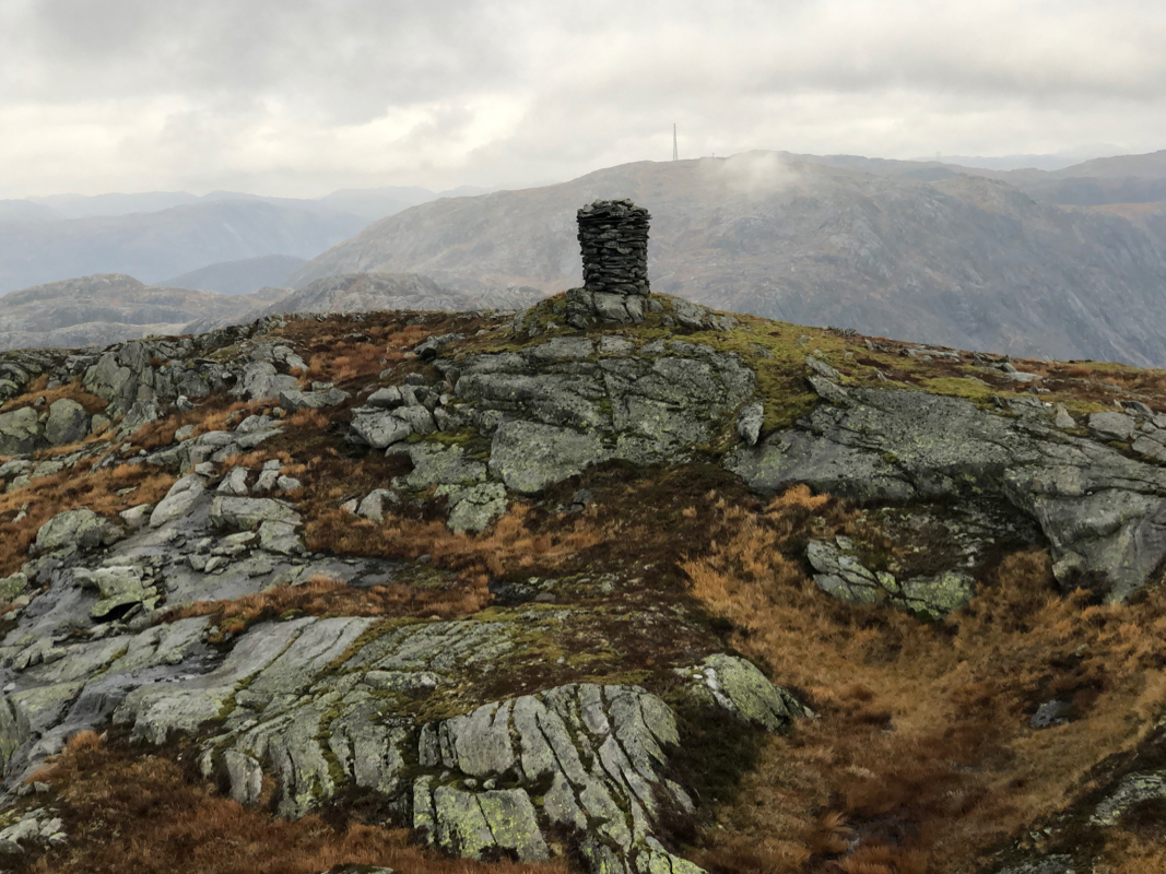
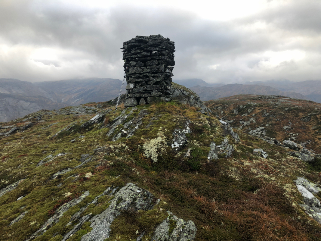
Finally, hike across to the summit.
There are two summits, the one without
a cairn is slightly higher.
Comments:
I left the summit of
Lauvtonipa at 1205 and spent a bit more than one hour to get across
to this summit.
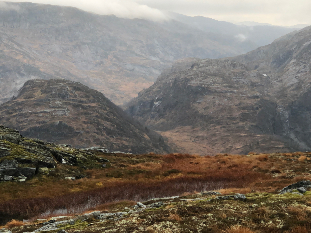
Generally nice terrain and only a few places where I
needed to get around a few small ponds blocking a direct path.
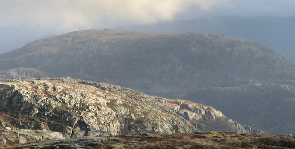
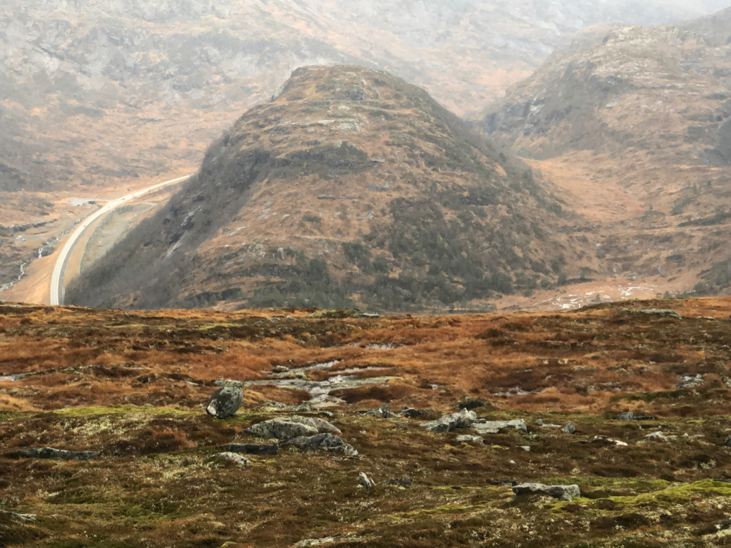
From this summit one has a nice view down to the small peak
Setrelifjellet and the
Hwy. E-39 that enters a tunnel that runs
pretty much directly under this summit.
I left around 1325 and cut a nice line back, almost back to the lake,
then easy terrain leading to a sheep track that traversed the south slope
of Furhogen to join the path from the farm and up to the first col.
Easy descent back down, reaching my car by 1445.