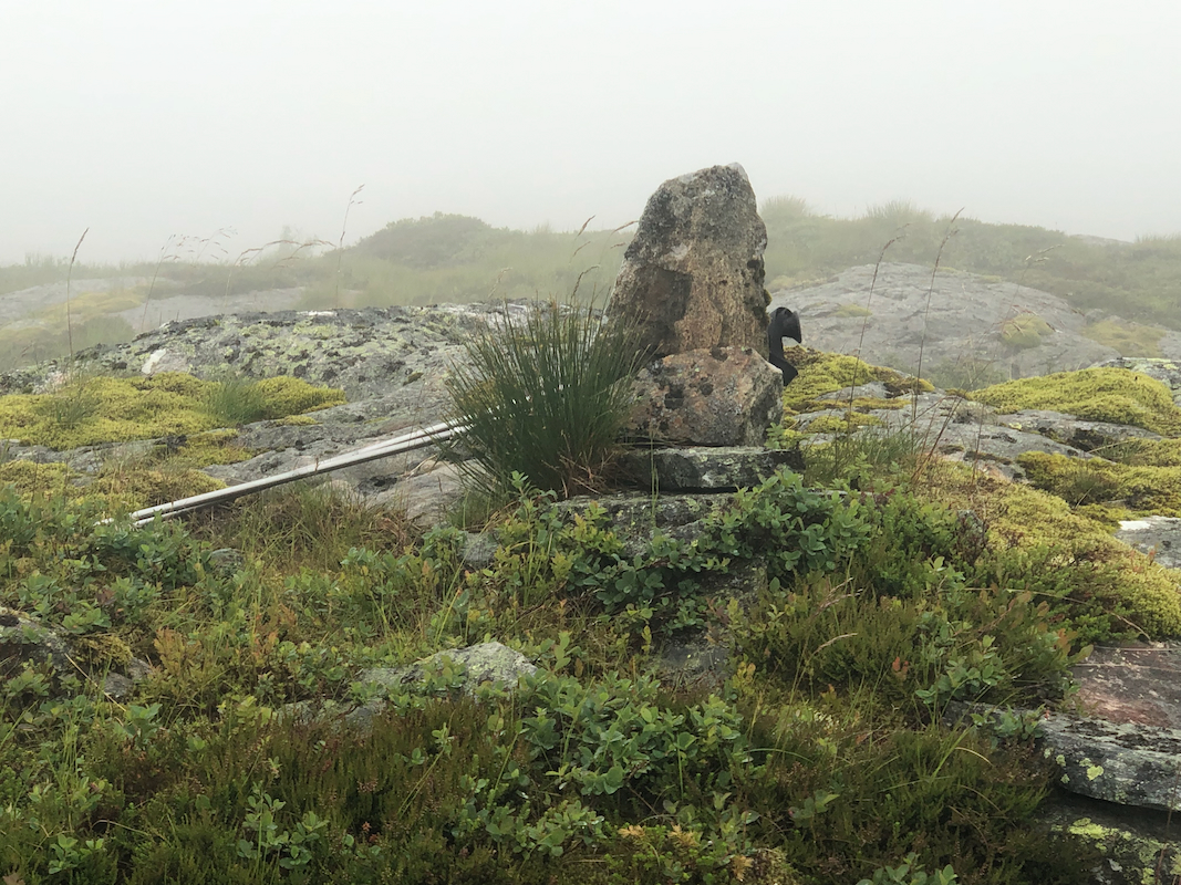
Location: North 60.76103, East 005.65983 (GPS at the summit)
Difficulty: YDS class 2
Climbed July 13, 2022
Information:
How to get there:
From Bergen, drive north on E-39. Note the road fork to Modalen (also signed to Dale),
this road going right has Hwy. number 569. Continue 1.6 kilometer north on E-39. Take the
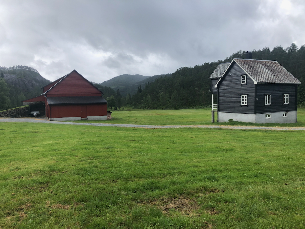
small road that forks right, serving a farm. Continue along this small road about 500 meter.
There is a single house and a barn there.
Park out of the way. If people are present, ask about
parking. This is the trailhead, location N60.75438, E005.63748, elevation near 135 meter.
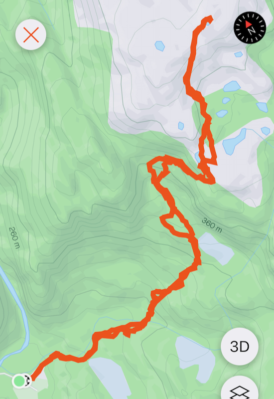
Route description:
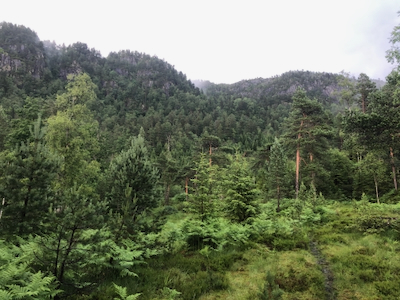
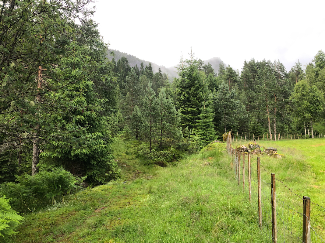
Start out along an old tractor road that follows the fence
(on the left side). Higher up, ascend
grass terrain more or less following the drainage.
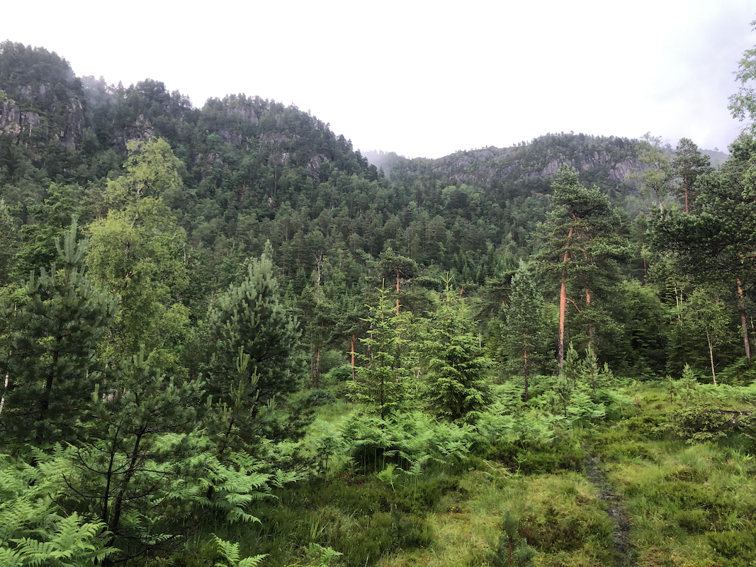
In the upper part of this area, pick up
a trail that ascends gently to your right. This route will get you up onto the higher
plateau. Turn more left again and ascend easy slopes to the summit. Comments:
The forecast was rain showers and I felt that a short trip would be nice.
This mountain was my only remaining hill in the municipality of Alver.
I started around 1035 and arrived on top in fog, after 1:20. I spent about 5 minutes
there before descending more or less the same way, arriving back at my car shortly
before 1300.