Location: North 60.80421, East 005.56348 (GPS at the summit).
Hordaland, Norway
Difficulty, YDS class 2
Climbed on February 20. 2021
Information:
How to get there:
Drive E-39 north from Bergen. You drive up the Romarheim valley,
exit the upper tunnel, the road crosses the pass and starts descending.
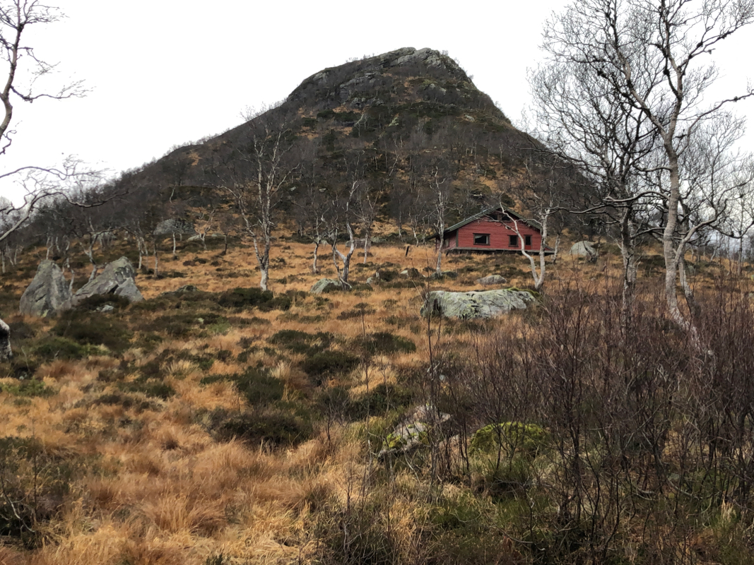
You will see the small, but distinct mountain
ahead on your left as well as
a small turnoff where you may park. This location is
N60.82836, E005.61165, elevation about 420 meter.
Route description:
Look south, parallel with the Hwy. from the trailhead/parking. You will
see a small valley that provides an ascent route. Ski up (steepish) this
valley until you reach a flat section. Turn left and ascend to a distinct
col that separates a small rock top (visible from when you started) from
the main ridge. Turn right in the col and follow a more narrow ridge a short
section until it connects with the larger hillside. Asend on the left side
of the main crest until you reach a flat area with a small lake at about
670 meter of elevation. Continue south with steeper terrain on your right until
you reach a natural flank that may be ascended while you continue south-west.
Notice a cairn here, a sequence of cairns will now lead you to
the minor summit marked as point 798.
From here, descend to a small lake at 688 meter, this is still to the south-west.
From this lake, ascend a broad ramp heading north, then turn west towards the summit.
Be aware that a distinct crack runs north-south around elevation 760 meter, there
are easy spots where you may cross. The mountain slope is more gentle as you
approach the cairn.
Comments:
I did this trip with my friend Eric. The weather was not good,
quite strong wind from the south and a mix of rain and snow.
The visibility was poor and that made skiing a bit challenging.
We left around 0930, arrived at the summit at 1200. Back at the
car around 1350.
