Location: North 60.46759, East 005.50257 (GPS on the summit)
Difficulty: YDS class 1
Climbed November 25, 2012.
Information:
How to get there:
This mountain is on the island Osterøy. Drive from Bergen towards, but take the large
bridge to Osterøy shortly after driving through the Arnanipa tunnel. Immediately after
the bridge, turn right, then go left in the next intersection (sign for Haus). Drive through
Haus and continue along the coast (cross the small bridge) and head for Votlo. In Votlo,
take the obvious road going uphill, turn left at a road fork higher up and arrive in the small
community of Askeland. Continue uphill, the road will enter a paved area with a somewhat
unusual house.
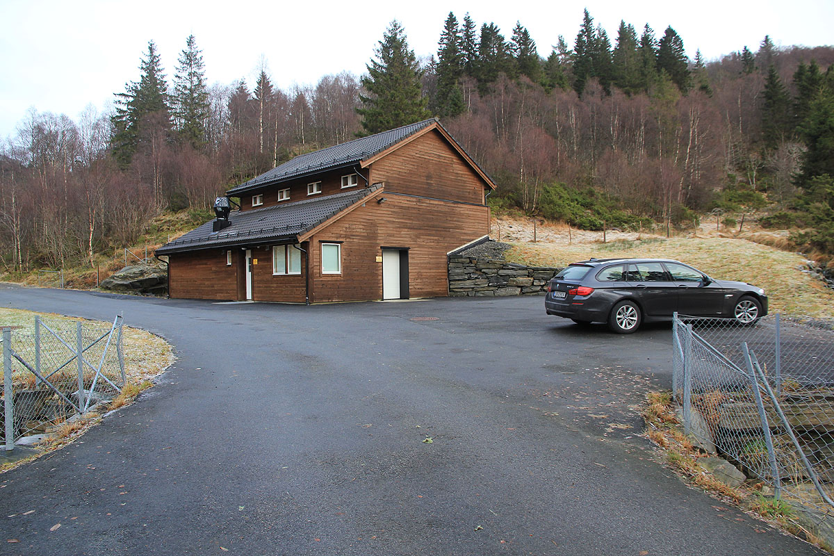
Park here, this is the trailhead, location N60.47566, E005.47885, elevation about 240 meter.
Route description:
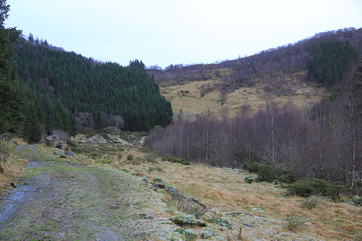
Continue up the road and into a little basin. You can see and old farm-track zig-zag up
the steeper slope ahead. Hike up and do not fork right. You will cross through a small gate then
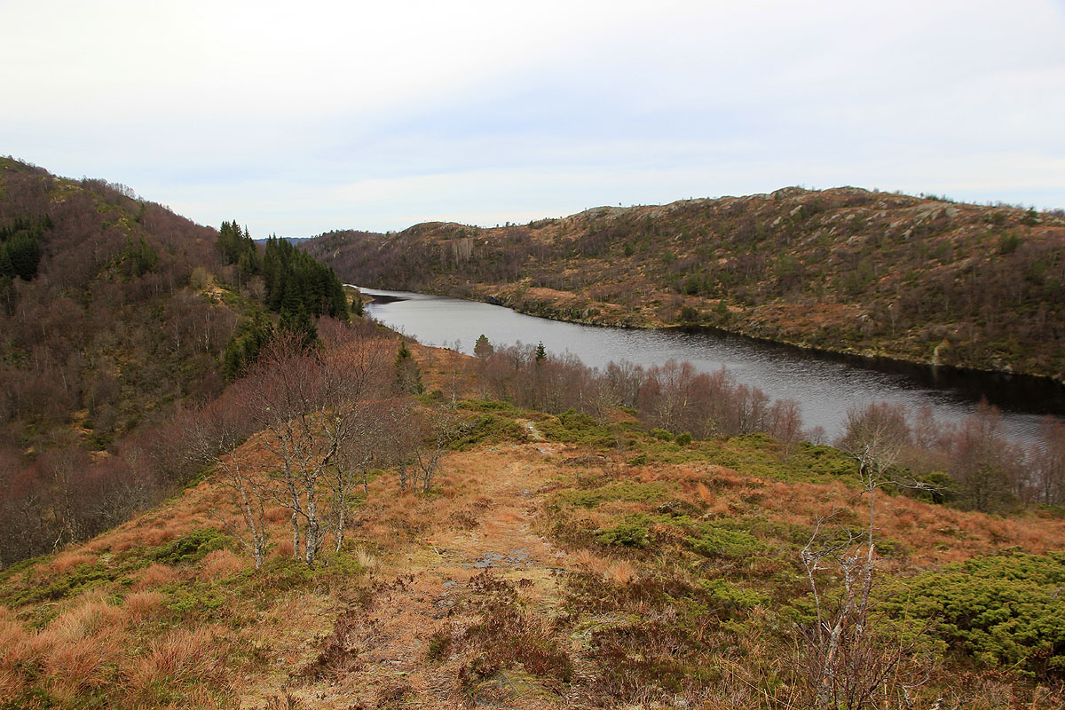
reach the saddle and see lake Askelandsvatnet quite near. Follow the obvious trail as it now
turns right and starts a gradual climb. Higher up, the trail runs on a small, ´local ridge to
the left of the main crest. Eventually, you cross to the main ridge. You will pass a local
high point while crossing a stone fence, the highest point is now off to your
left, a bit ahead. The cairn is located a few meter further along.
Comments:
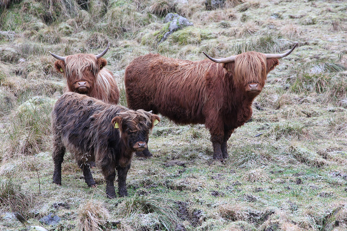
I left the car at 1230, the route was pretty obvious. The first encounter was
a few local cows. Next, I reached the saddle and continued along a nice trail to
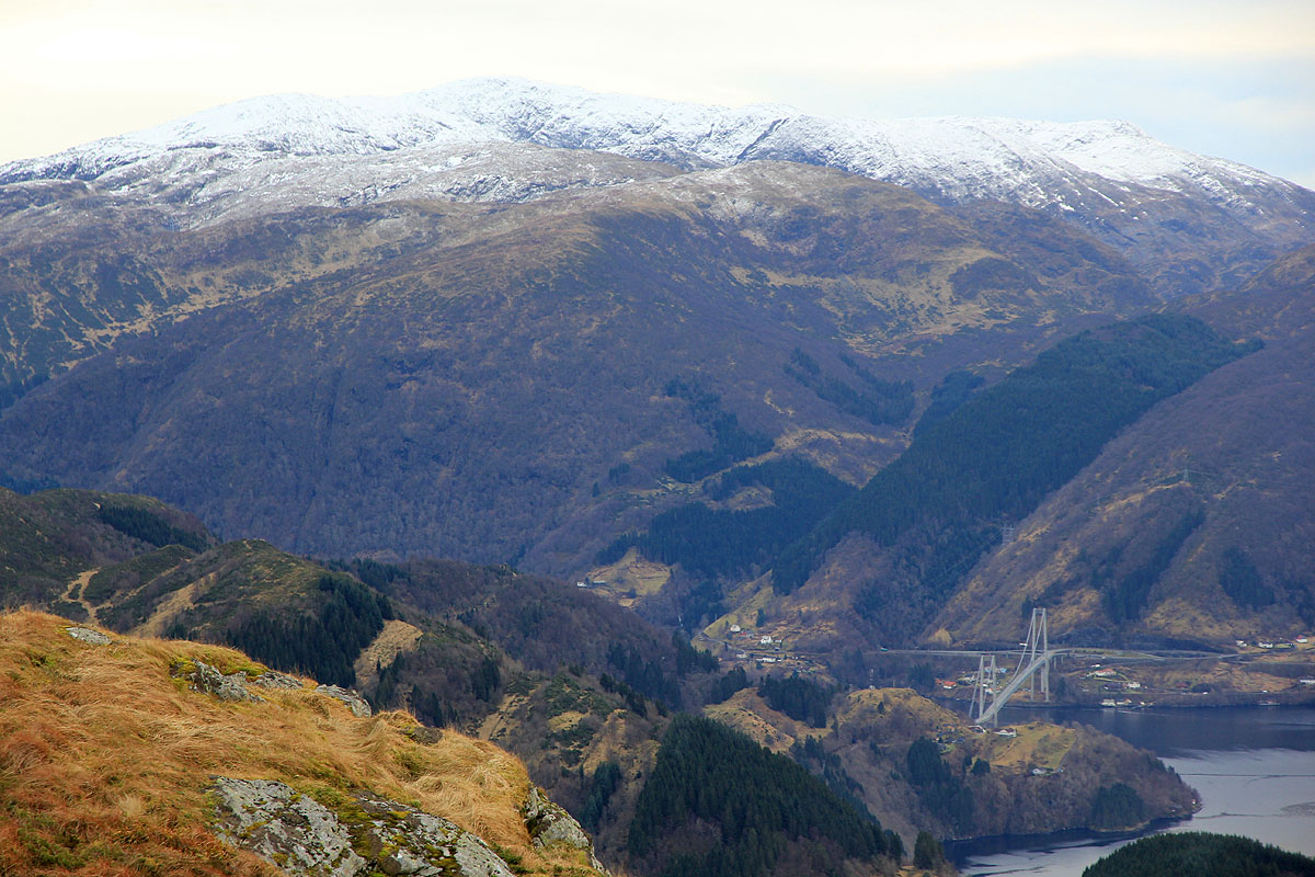
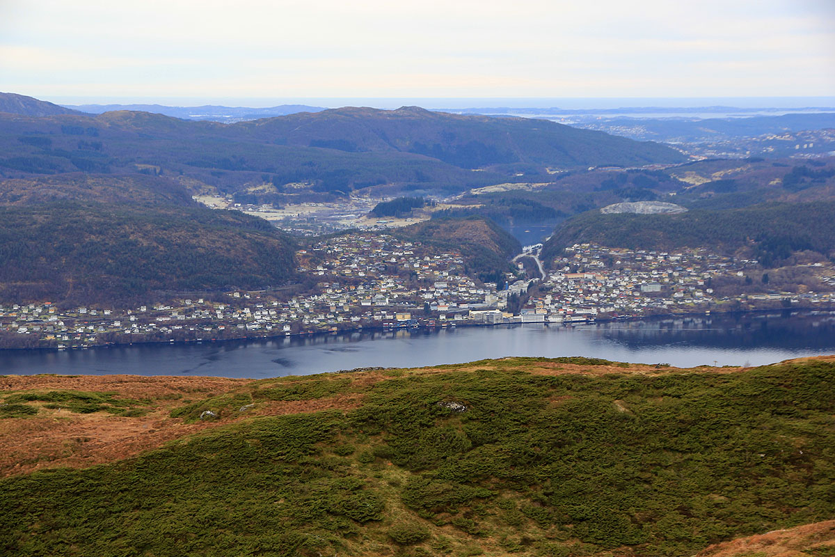
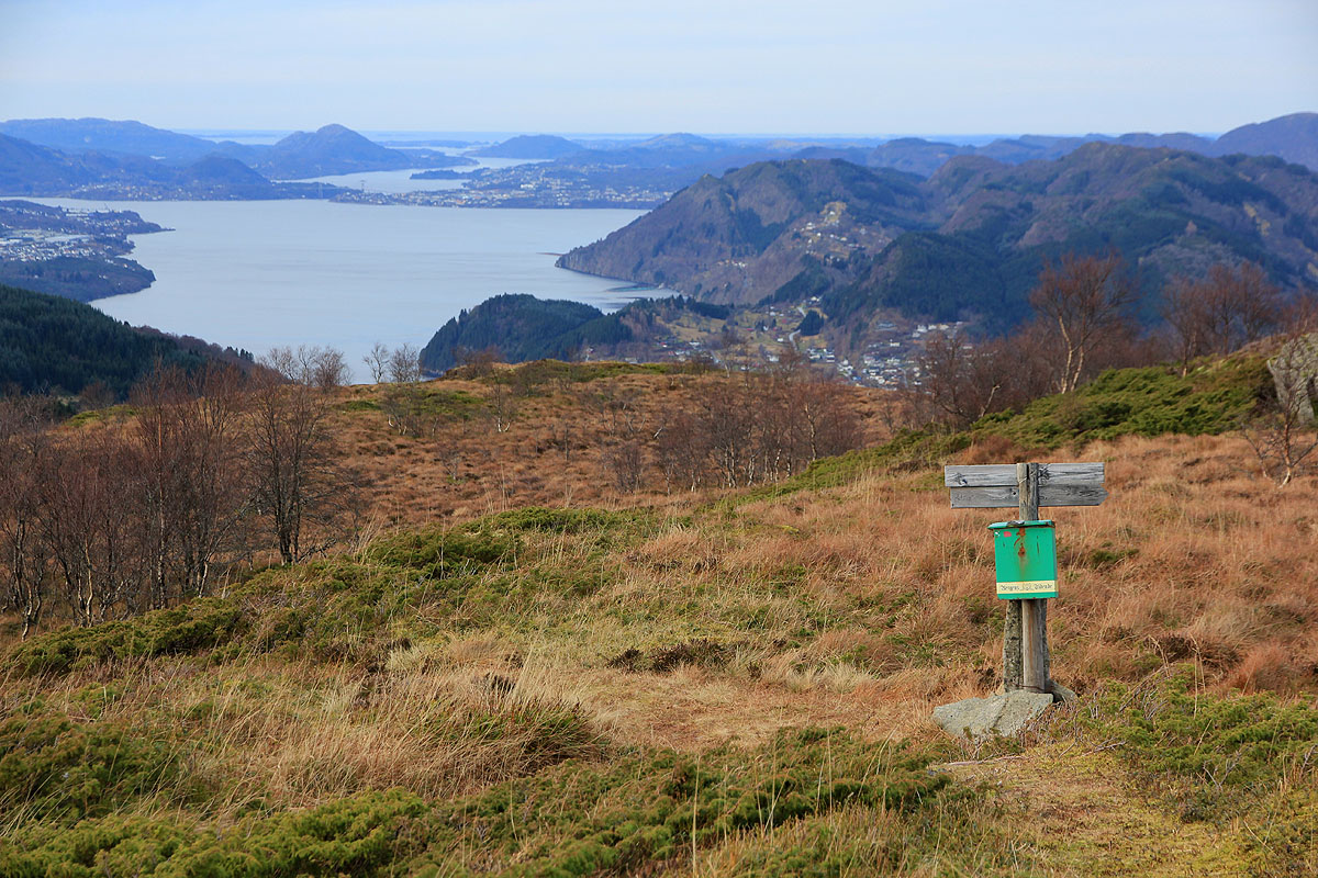
the summit. Arriving there at 1320, I took my time to enjoy the
nice view. The bridge with Gullfjellet behind, more west
one has a good look across to Ytre Arna. To the north,
Tveitafjellet is very prominent.
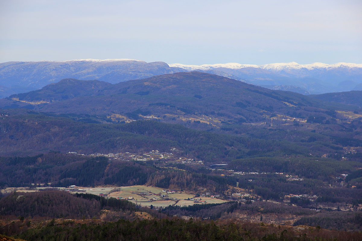
I left around 1330 and hiked back down to the saddle (at 1400). With a bit of available time, I now went up
on Erstadfjellet, arriving there at 1415.
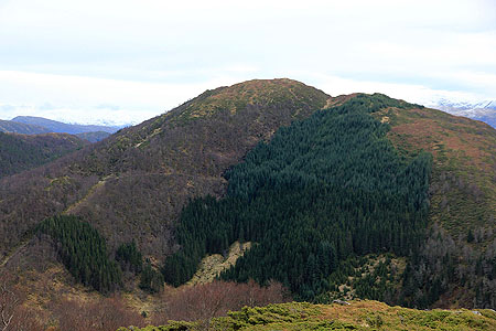
From here, one has a very good look back at Stemmeseggi, except
that the summit itself is hidden further behind.
I headed more or less directly down towards the small basin, however, the going was cumbersome, following the
trail back would likely have been better. I was back by my car at 1445.
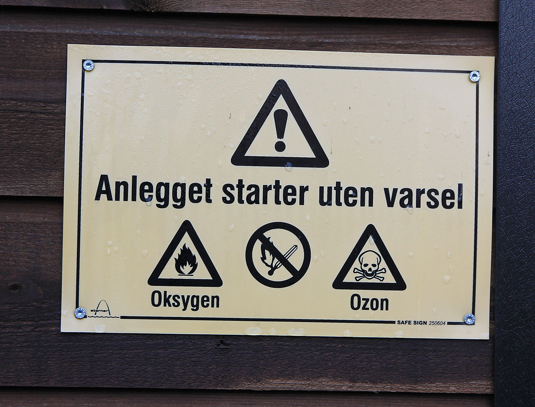
The house at the trailhead had warning signs posted next to its
two doors. Wonder what kind of purpose this serves?