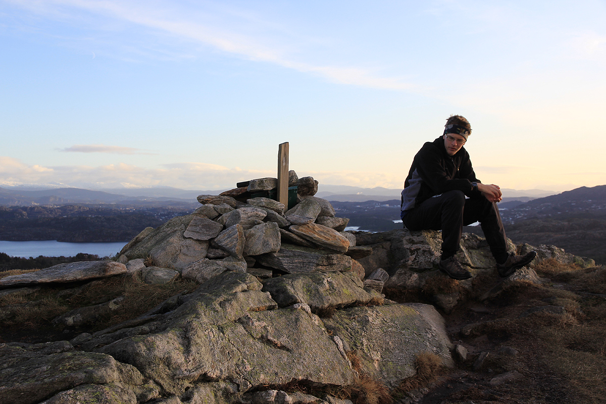
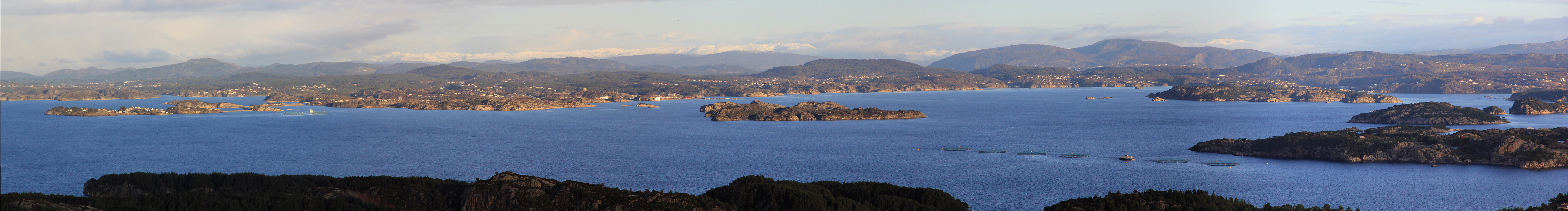
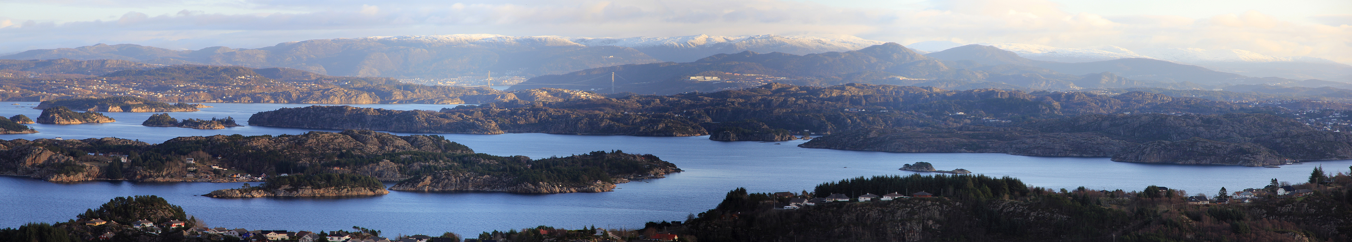
Location: North 60:23.297 East 005:01.646 (GPS at the summit)
Difficulty: YDS class 1
Climbed December 30, 2011
Information:
How to get there:
From Bergen, drive to Sotra and turn right in the traffic circle
just after exiting the long tunnel. This is Hwy. 561. Cross Spjeldsundet (small bridge)
and exit left shortly thereafter. This is Spjeld. Drive up the road, keeping left, but uphill.
Find parking at or near the end of the road called Spjeldsfjellet. Pay attention and do not
park in private driveways. This is the trailhead, location N60:23.201 E005:02.130, elevation
about 75 meter.
Route description:
A small trail starts directly up from the road. This trail merges higher up and is quite
well marked with cairns. Head directly uphill to the obvious summit ahead.
Comments:
I did this hike with Pål Jørgen.
We started around 1215 and were at the sumnmit by 1235. We were back at the car around
1250.
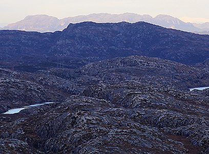
Note that Spjeldsfjellet has 3 local summits. The southernmost is the highest, but the
middle seems to be most popular to visit. There is a clear 165 meter contour on the highest
point while the two other tops have 164 meter contours.