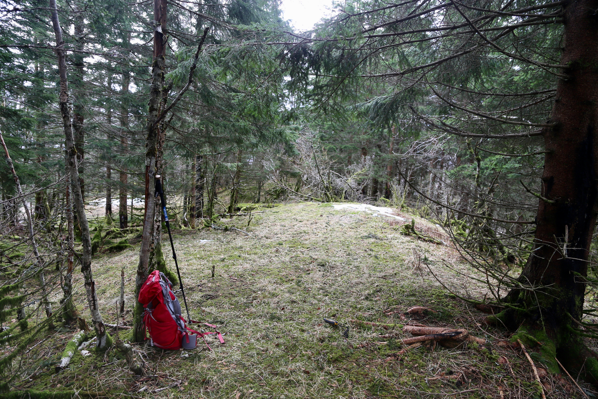
Location: North 60.39376, East 005.79071 (GPS on the summit)
Climbed March 11. 2017
Difficulty: YDS class 2
Information:
How to get there:
From Bergen, drive E-16 towards Voss, fork right onto Hwy. 7 in
the traffic circle at Trengereid. Continue past the innermost part of the Samanger fjord.
Turn right just before a tunnel, the road is signed for Haga. Drive along this more
narrow road (which will get you to Tysse). You should turn left where there is a sign
for Idrettsbane (Athletic field), this location is at N60.38575, E005.76775, elevation about
20 meter. There is a sign that says Hagabakkene. This road is narrow, with sharp curves.
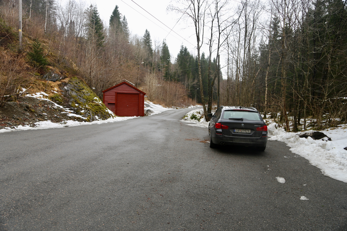
You should drive 2.1 kilometer from the road fork. You will notice that a small
road forks left, then immediately, there is
a spot for parking on your right hand side.
Route:
Walk up the old forest road that starts where you parked. I forked left higher up,
then continued along various deer trails.
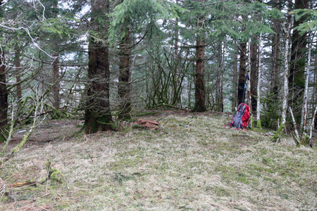
The terrain is easy to hike and the summit
is directly uphill.
Comments:
I left my car at 1135 and arrived at the summit 20 minutes later.
The return hike took about the same amount of time.