Location: North 60.64325, East 005.68086 (GPS on the summit)
Difficulty: YDS class 2
Climbed: March 23, 2014
Information:
How to get there:
Take E-16 from Bergen to Dale, shortly thereafter at the bottom of a long downhill, turn left towards
Romarheim and Modalen. This road is rather narrow with many sharp curves. Continue until you see the
concrete bridge across to Osterøy in front of you. Keep right here and cross the bridge.
This intersection is 37.3 kilometer from the turnoff to Modalen from E39 in Romarheim.
Continue on a very narrow road, about 7 kilometer from the bridge you start to leave the fjord as the
road now climbs and 10.4 kilometer from the turnoff to the bridge you have reached a place with good
parking on your right hand side. This is near Toskedalsvatnet, Park here, or continue to the very end
of the road in Toskedalen, about 500 meter. Ask about parking if somebody is around. This location is
N60.66211, E005.69624, elevation about 215 meter.
Route description:
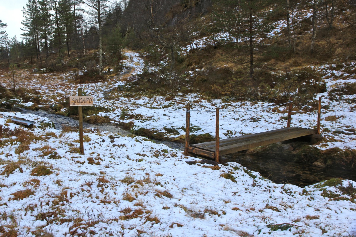
From the last buildings in Toskedalen, continue downhill in order to follow the forest
road that runs along the east side of Toskedalsvatnet. As you approach the valley named
Dalen immediately east of Snjonipa, the forest road forks. Take the left branch that
climbs up into Dalen. Follow this road until it ends near a meadow. There is a foot-bridge
across the creek here and a small sign saying Snjonipa.
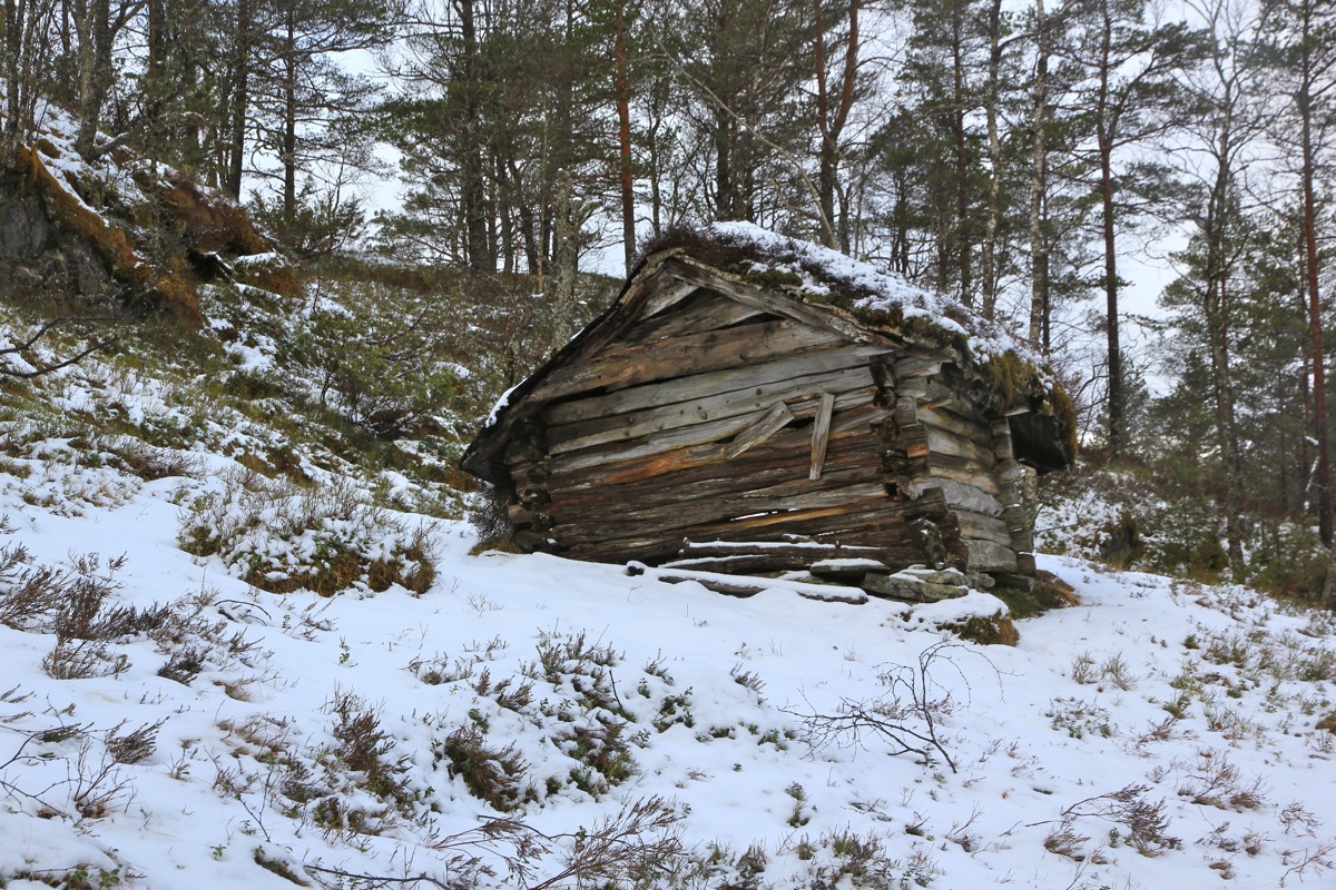
A route is marked by red tape on trees. This route runs by two small, old huts. From the second
hut the route traverses a bit south and ascends a big gully that connects to a few small
meadows. From here, I lost the trail, but it is quite straightforward to ascend uphill
and gain the main north ridge.
Finally, follow the broad ridge to the summit, the cliffs may be bypassed easily.
Comments:
I arrived in Toskedalen around 1030 after a nice drive from Bergen. I did not meet a single
car after leaving E-16 near Dale, this final stretch is very narrow and few cars are definitely
a good situation.
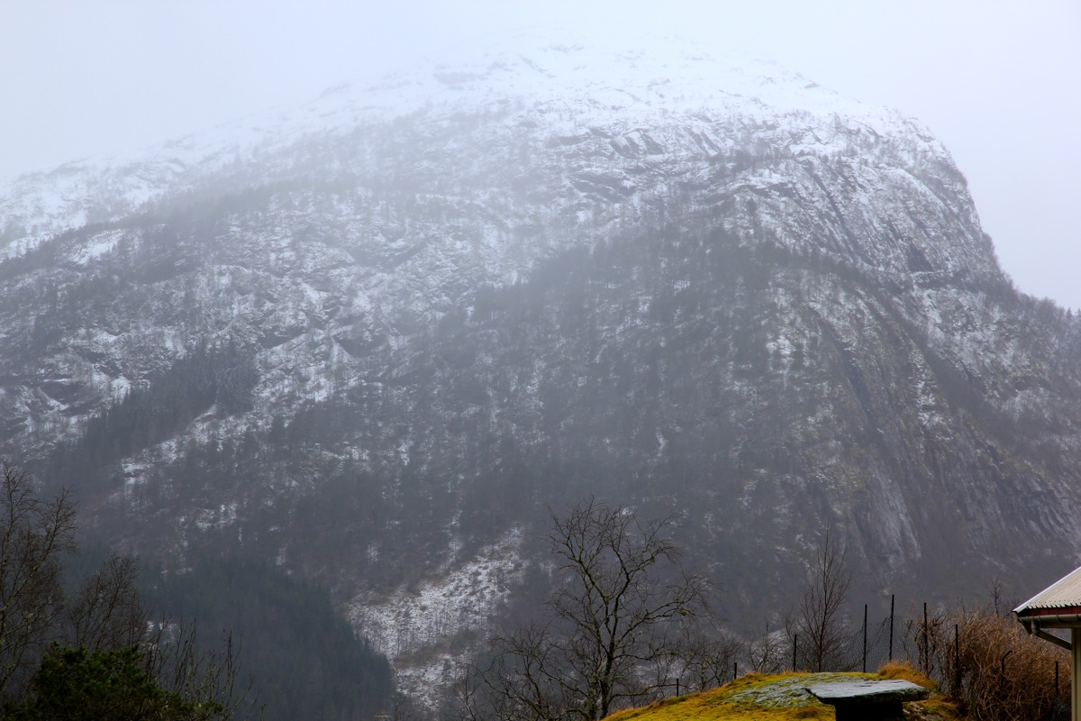
From the trailhead, Snjonipa was barely visible, fog,
clouds and rainshowers dominated the weather.
I left at 1035 and left the forest road before the signed route. However, half way up the forest,
I noticed the red tape markings on the trees and decided to follow. This went fine as I came
across the highest of the two huts
(I spotted the first one later when descending). This mountain
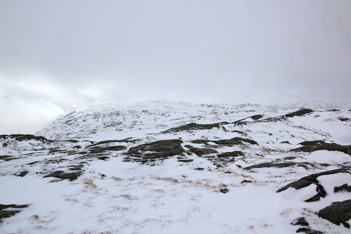
had surprisingly more snow than expected, I guess living up to its name (snow mountain). I subsequently
lost the markers, but ascended up a very nice slope that topped out at the main north ridge.
From here, I headed uphill while keeping right of the cliffs,
then easily to the summit.
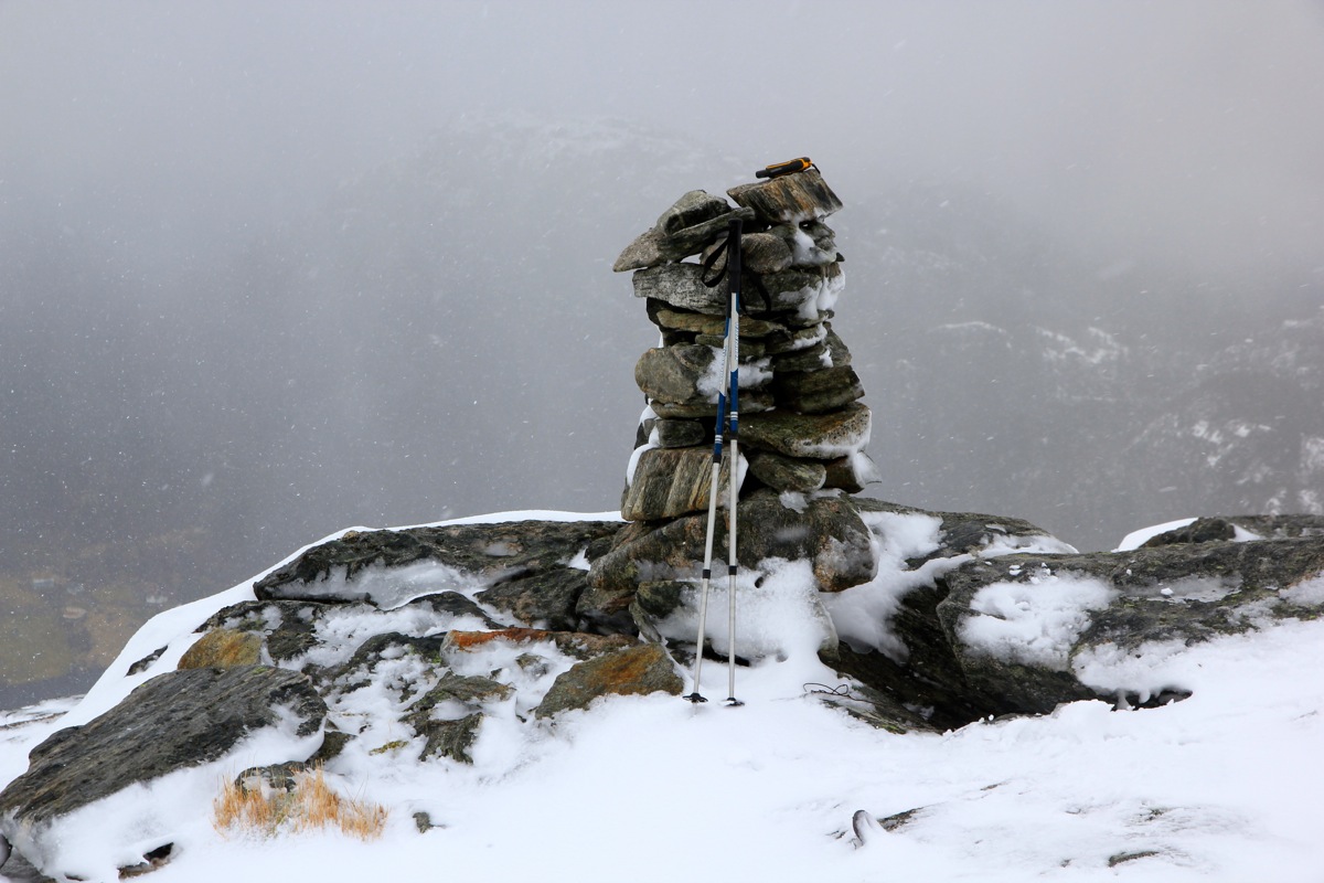
The summit plateau is pretty large, however,
the highest point with the cairn is located at the north
side, precisely where this route ascends.
The time was now 1205, so 1.5 hours from my car, including postholing in quite deep snow at the
upper part of the route.
