How to get there:
A good point of reference is the small community Hosteland, located north
of Masfjorden. To get there from Bergen, drive north on E-39. Just before E-39
enters the 4 km long Eikefet tunnel, there is a choice of route. Forking left onto
Hwy. 570, then connect from Masfjordneset to Duesund by (cable) ferry. This is a scenic
option. Alternatively, continue on E-39 passing the two fingers of Masfjorden, then an
uphill tunnel to the intersection with Hwy. 571. Turn left here, descending on the north
side of Masfjorden to meet Hwy. 570 near Hosteland.
The third, and perhaps best way, is to use the ferry from Leirvåg. Turn left in the
very first traffic circle in Knarvik (immediately after the bridge), follow Hwy. 57 to
Leirvåg. This ferry leaves 15 minutes past the hour. The return ferry leaves
Sløvågen 15 minutes before the hour. The crossing takes 20 minutes. From
Sløvågen, you have 14 kilometer to reach Hosteland.
The trailhead for Snaufjellet is located about 2 kilometer north along Hwy. 5436 from Hosteland.
This location is N60.85270, E5.26978, next to lake Hindevatnet, elevation about 50 meter.
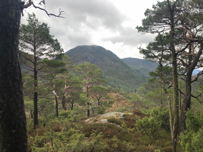
Route description:
Follow the broad trail uphill. Higher up,
a more proper trail forks left, well marked.
This trail continues all the way to a nice
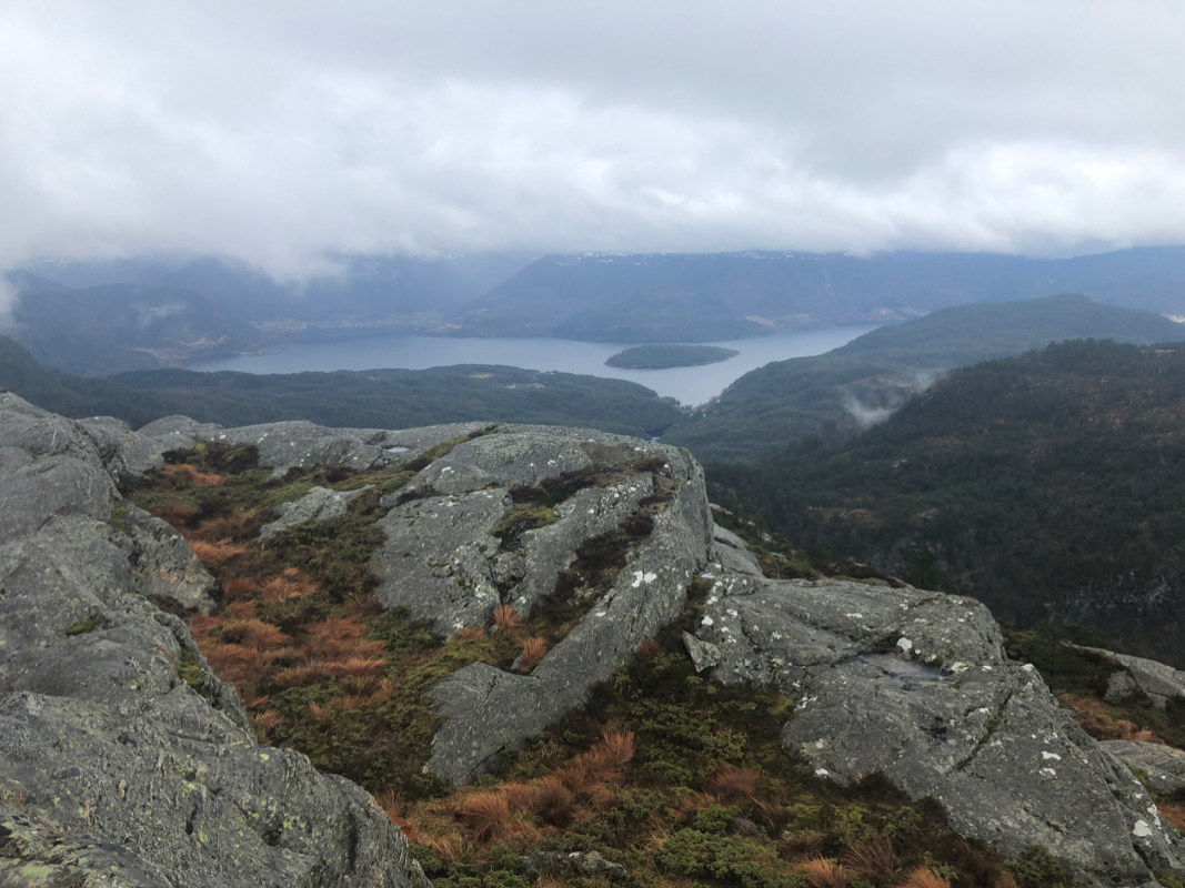
summit with a proper cairn. Comments:
This was my peak number 4 (of 7) on this day. I made the summit around 1320.