Location: North 60.64959, East 005.92785 (GPS at the summit).
Voss, Norway
Difficulty, YDS class 1
Climbed on October 27. 2020
Information:
How to get there:
Drive E-16 from Bergen.
Continue E-16 past Trengereid towards Voss. Continue passing Dale, turn left at
Bolstadøyri. There are two exits, the first is signed, a left turn immediately
after you pass under a small bridge. Continue along a more narrow road to locate
the signed road, 10 kilometer to Øvstedalen. Follow this nice dirt road as it climbs
to a pass. There is parking just before the pass at the right hand side.
This location is N60.65704, E005.94855, elevation about 490 meter.
Route description:
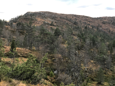
Walk a few meter to the highest point of the road and locate a small trail that
heads west (left when looking in the direction that you have been driving). Follow
this trail, it is vague in a few places, very much so as you cross a larger meadow.
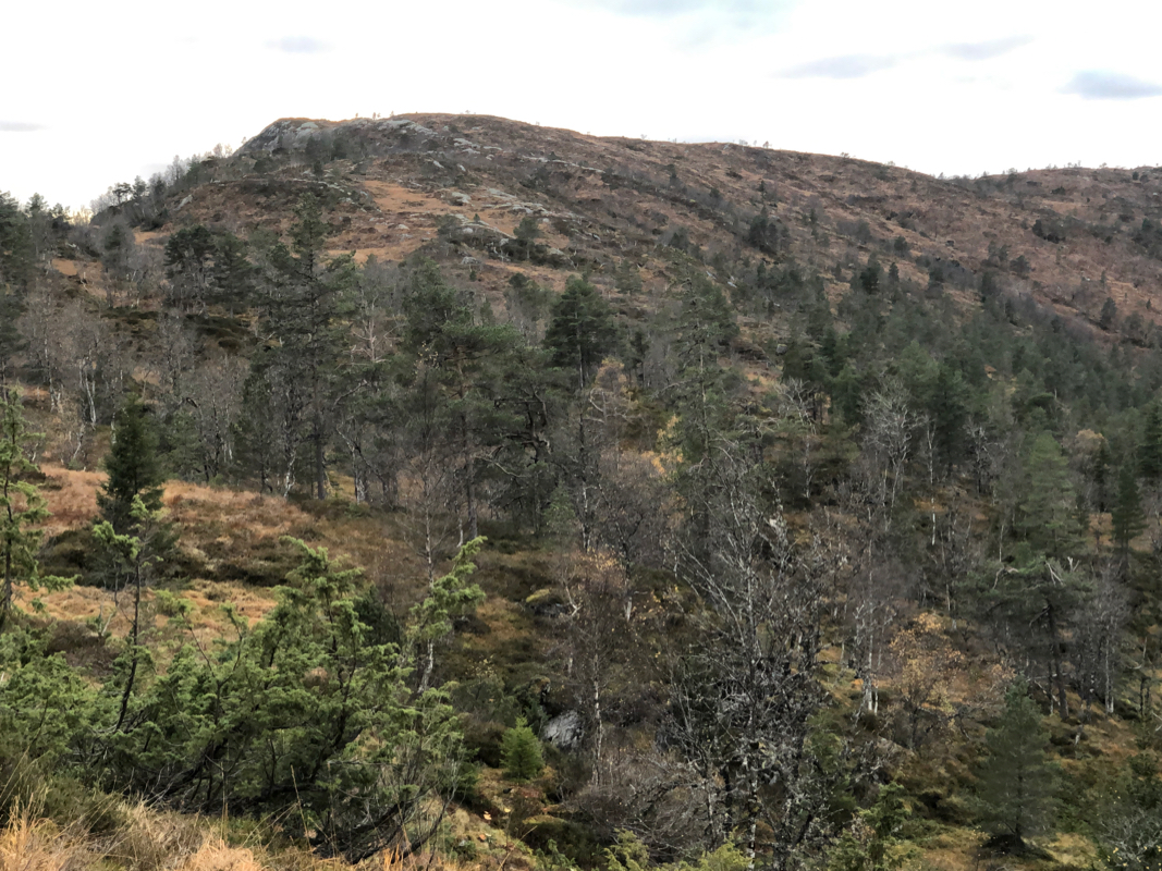
However, you should be able to pick it up when getting closer to the small ridge-lines
that runs gently uphill towards Slåttenovi. This is an easy and straightforward
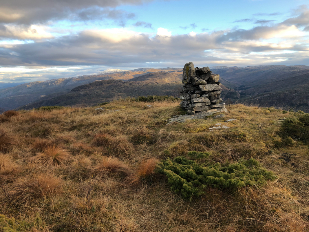
hike. A small cairn marks the summit.
Comments:
I arrived at the trailhead after my first hike up in Eksingedalen, the
time was 1520, time for a short "bonus" climb.
The terrain was easy
and I followed the vague trail most of the way, arriving at the summit
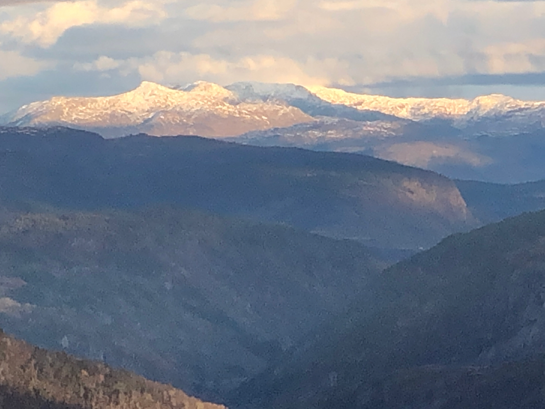
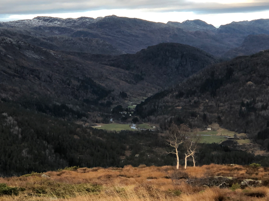
after 25 minutes. Good views, to snow capped peaks
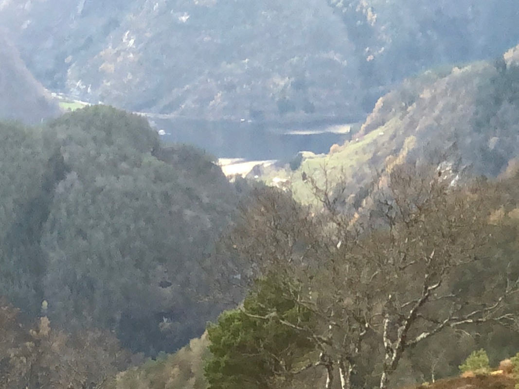
further inland, but also
back down to Bolstadfjorden.
The return hike took 20 minutes, a nice way
to conclude the day.