Location: North 61:20.578, East 004:58.896 (GPS at the summit).
Most westerly Major Mountain in Norway.
Sogn og Fjordane, Norway
Difficulty, YDS class 2
Climbed on November 13. 2010
Information:
How to get there:
A good place of reference is Førde on E-39, north of Sognefjorden.
Take Hwy. 609 towards Askvoll, this distance is approximately 61 kilometer.
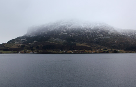
The road is narrow and you have a spectacular view of the steep mountain face
Blægja (1304m) coming down to the fjord. In Askvoll, take the ferry to
Gjervik on Atløy. This ferry does not run very frequently on weekends, so
be prepared for some waiting time. Measure from the ferry. Once on Atløy,
drive off the ferry and turn left at the T-junction. Near kilometer 5.3, look for
a small dirt road that forks right. Continue on this until it ends (behind a barn)
at kilometer 6.1. This is the trailhead, location N61:19.693, E004:57.652, elevation
about 12 meter.
Route description:
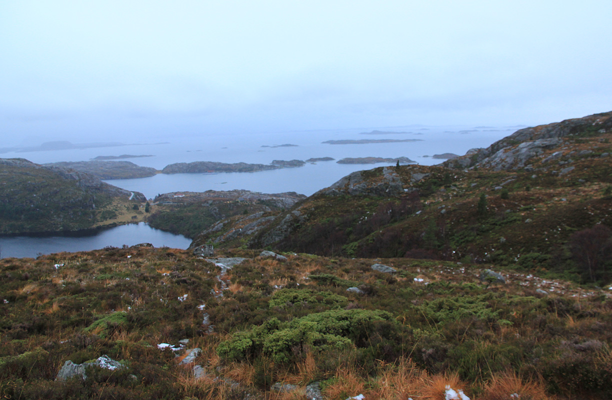
A clear trail starts out from the trailhead and follows the lake. You pass
through a gate, then merge with another trail and head uphill near a small creek.
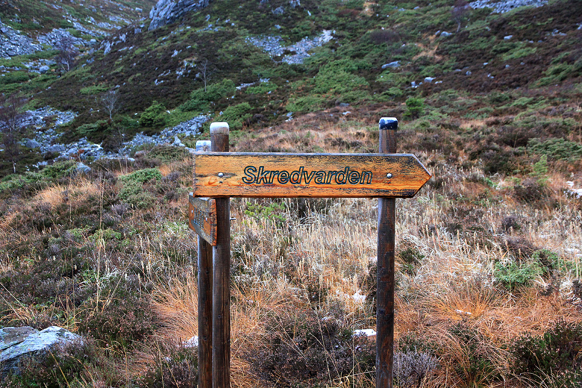
At location N61:20.145, E004:56.850, elevation 154 meter, there
is a signed trail fork.
The right fork goes to Skredvarden. Higher up, this trail may be less obvious at least
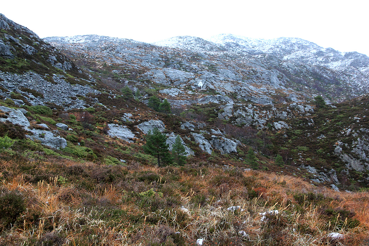
when there is a bit of snow. The route is pretty obvious as you see the mountain ahead
and after crossing a very small valley, it is just to continue uphill. The terrain
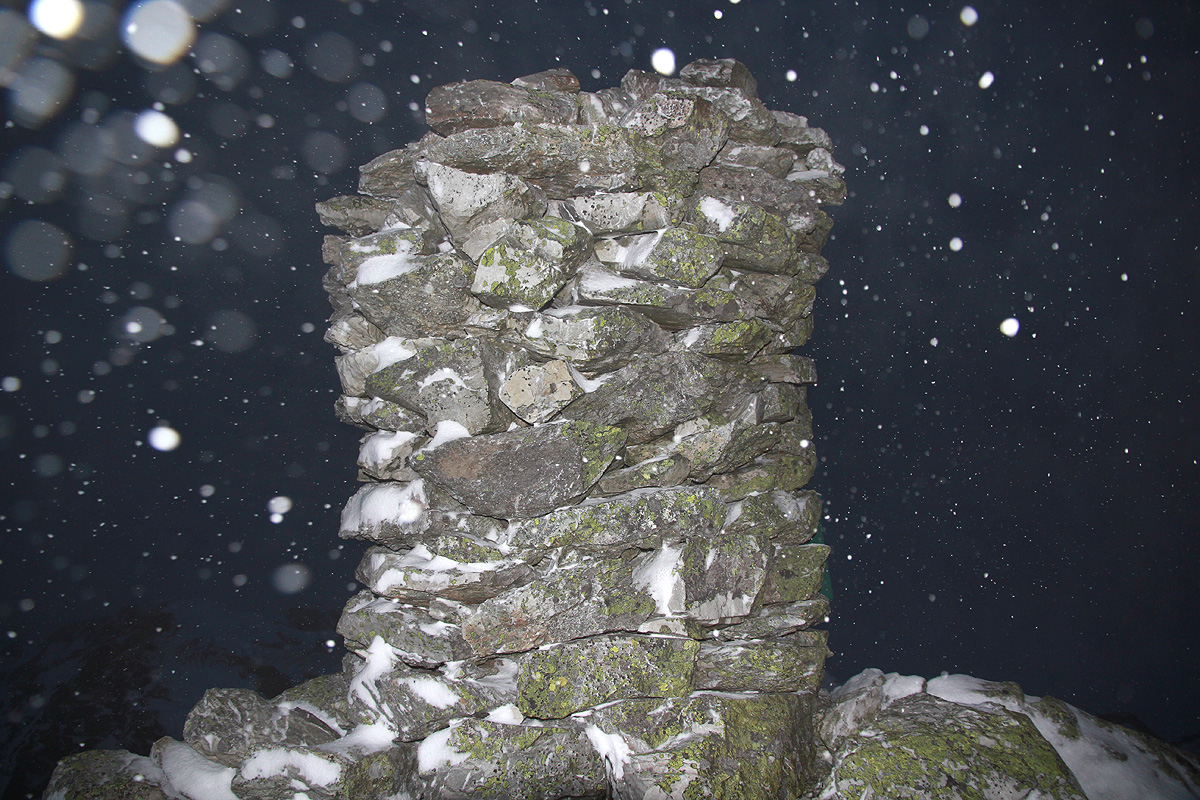
is easy all the way. On the top, the slope is more gradual and you will suddenly
see the very impressive cairn at the summit.
Comments:
I had climbed Blåfjellet on
skis earlier in the day and
subsequently headed out towards Askvoll. The plan called for climbing
this mountain on Sunday, however, as I got across on a ferry that
departed 1440 (having just missed the earlier ferry), I realized that I
might just climb this mountain as an afternoon/evening hike and get back
home to Bergen a day early.
I left the trailhead in misty weather at 1510 and decided that this would be
a hike on foot since the snowline seemed
pretty high on this coastal mountain.
I arrived at the summit at 1640, just as it was getting dark. In fact, I needed
the flash on my camera to take a picture of the cairn.
I headed back down already at 1650, the idea being to follow my footsteps as
long as I could still see them in the snow. Partway down I had to turn
on my headlamp in order to see the details of the ground. I continued back
down in the dark and arrived at the car at 1805. A nice hike, and a double
P600 day. The ferry had just left (no luck with this ferry) and I waited
until near 1920