How to get there:
Take E-39 north from Bergen. After Romarheim, cross the mountain pass, then exit right
just before the long (downhill) tunnel to Matre. Pass under the Hwy., then turn right
to start driving a very long mountain road built to construct the hydro power dams and plants
to the north. Drive this road to its very end, there is parking on the left side of the pretty
large dam. This location is N60.88075, E005.79398, elevation about 785 meter.
Route description:
Follow the signed and T-marked trail towards Skavlabu.
You start by crossing on top of the dam.
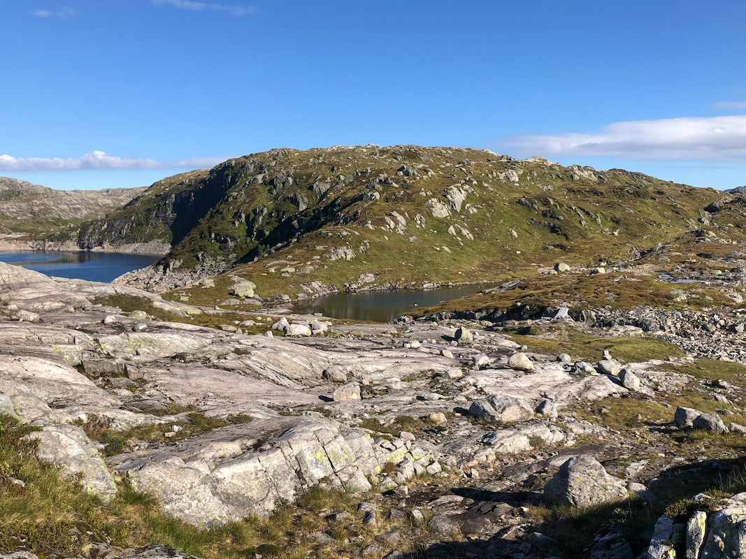
Continue uphill, pass a small lake and continue uphill until reaching the main crest.
There is a signed trail fork here, turn left towards Vardadalsbu (north). This trail will descend to
another dirt road coming up from Modalen, however, this road is closed by a gate
all the way down in Modalen, thus this trailhead is better.
When you reach the road, turn left and follow the road along the lake, then uphill and
across a small pass. Descending from the small pass, note the signed trail (Vardadalsbu) that
forks left from the road, leave the road and continue along this trail.
Follow this trail about 1.5 kilometer, then head directly uphill (to your left). You will shortly
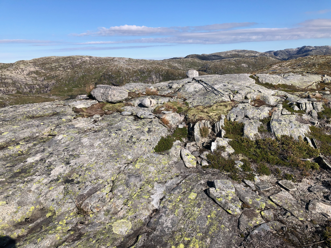
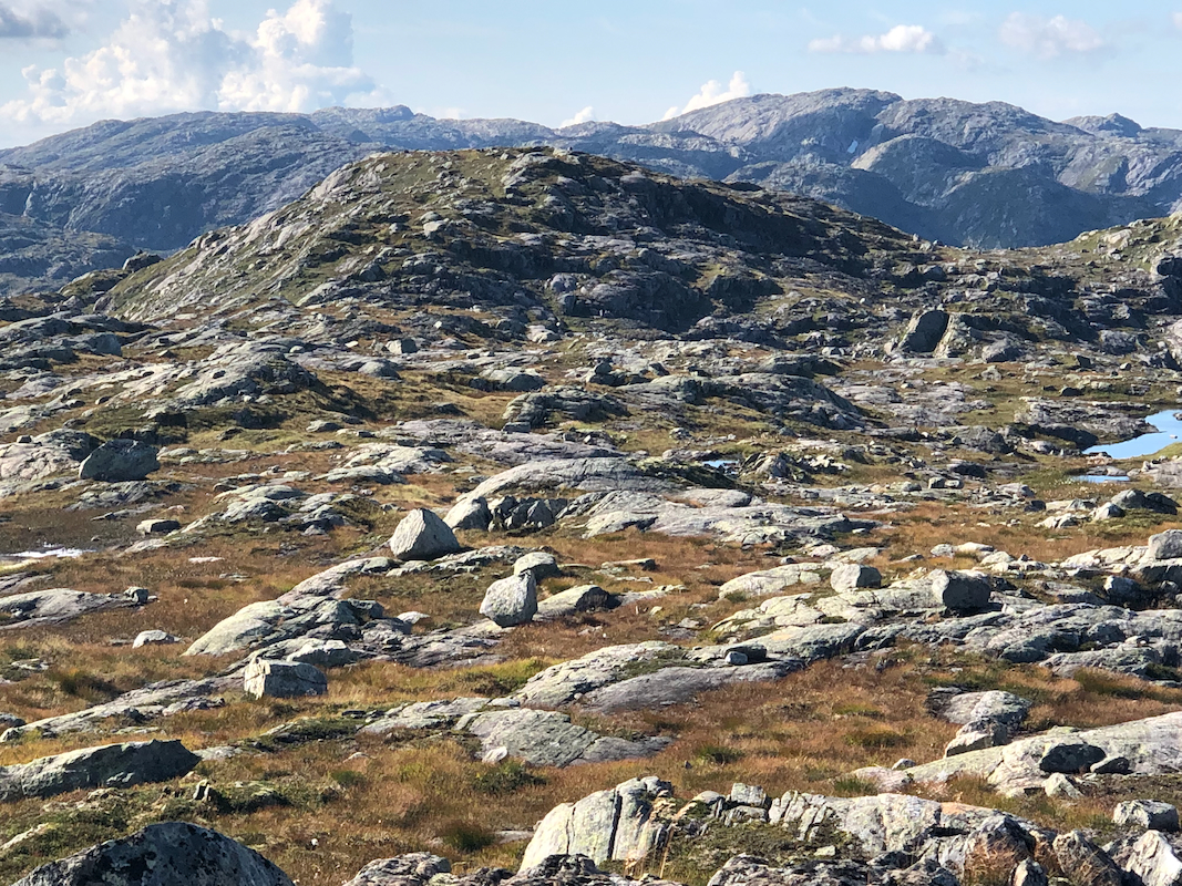
arrive on the south summit of Skjerjavassryggen.
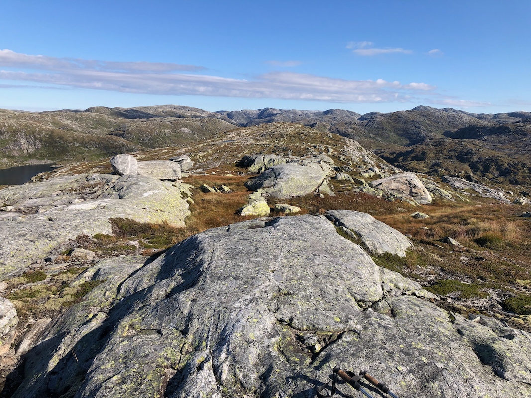
This ridge has a north summit point about 900 meter to the north. This point has the same
spot elevation, 940 meter, on the map. Laser data indicate that it is about 0.5 meter lower
than the south summit. However, it is a nice hike across there, a visit is recommended.
If you visit the north summit, then consider a return hike on the west side of the two lakes,
Hjortevatnet and Svartavatnet.
Comments:
I had first visited the summit Vest av Trollegilsbotnen.
Shortly after leaving the road on the trail heading north, my target
again came into view. I left the trail too early and was rewarded with some small extra ups and downs.
I arrived on the summit at 1100.
From here, I had a clear view across to the north summit.
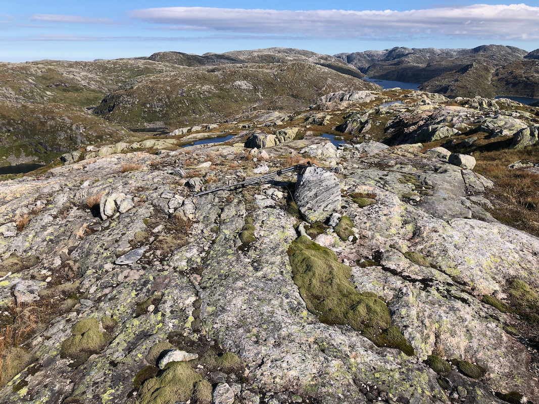
Leaving after a short stop, I headed north, arriving there by 1115.
Again, a nice view back south to the south summit.
After another short break on the north summit, I decided to hike back on the west side of the lakes.
Descending the ridge to the creek from lake Harekupvatnet was easy. The creek was also quite small and
easy to cross. From here, I followed the lake around to its west side. This was cumbersome and clearly
a mistake. It would be better to ascend the broad ridge directly from the creek (100 meter gain) then descend
south to the west side of lake Hjortevatn.
Here I met another hiker, Ingmar, coming from Vardadalsbu, quite surprising. In any case, nice with
some company and we walked together back to the dam and our cars.
