Location: North 60.85143, East 005.38544 (GPS at the summit).
Hordaland, Norway
Difficulty, YDS class 2
Climbed on November 15. 2020
Information:
How to get there:
Drive E-39 north from Bergen. Immediately before the long Eikefet tunnel, turn left
towards Masfjordnes on Hwy. 570. Drive to Masfjordnes (a bit less than 30 kilometer), then
continue along the fjord (do not take the ferry!) to the small community called Totland.
After crossing the river from lake Storevatn, you cross a second (smaller) river, then
turn right onto a small (paved) road that serves a single farm. This farm seems to be
uninhabited. If you observe anybody, then ask permission to park, otherwise parking
is likely ok. This location is N60.82689, E005.37960, elevation about 20 meter.
Route description:
There are two reasonable (and interesting) routes, both alternatives involve
a bit of cumbersome bushwacking and somewhat steepish terrain without any trail.
To make this trip a circular route with both alternatives can be recommended.
However, the most straightforward route is the alternative that follows the high
crest of mountain.
High crest route:
Follow the tractor road from the road up and into the Dalsdalen valley.
This road ends at the lake Paddemyrsvatnet. However, you need to leave this
road near an old building located on your left in the small river. There is
no obvious trail and a bit of bushwack in order to reach the river just below
its starting point at the outlet from lake Paddemyrsvatnet.
Cross the river at the first location below the lake where there are rocks to step on.
This crossing can be tricky when there is much water in the river. Continue north along the
very vague trail, then gradually start gaining elevation in order to enter the small
drainage that starts in the col north of point 338 meter. As soon as you gain this col,
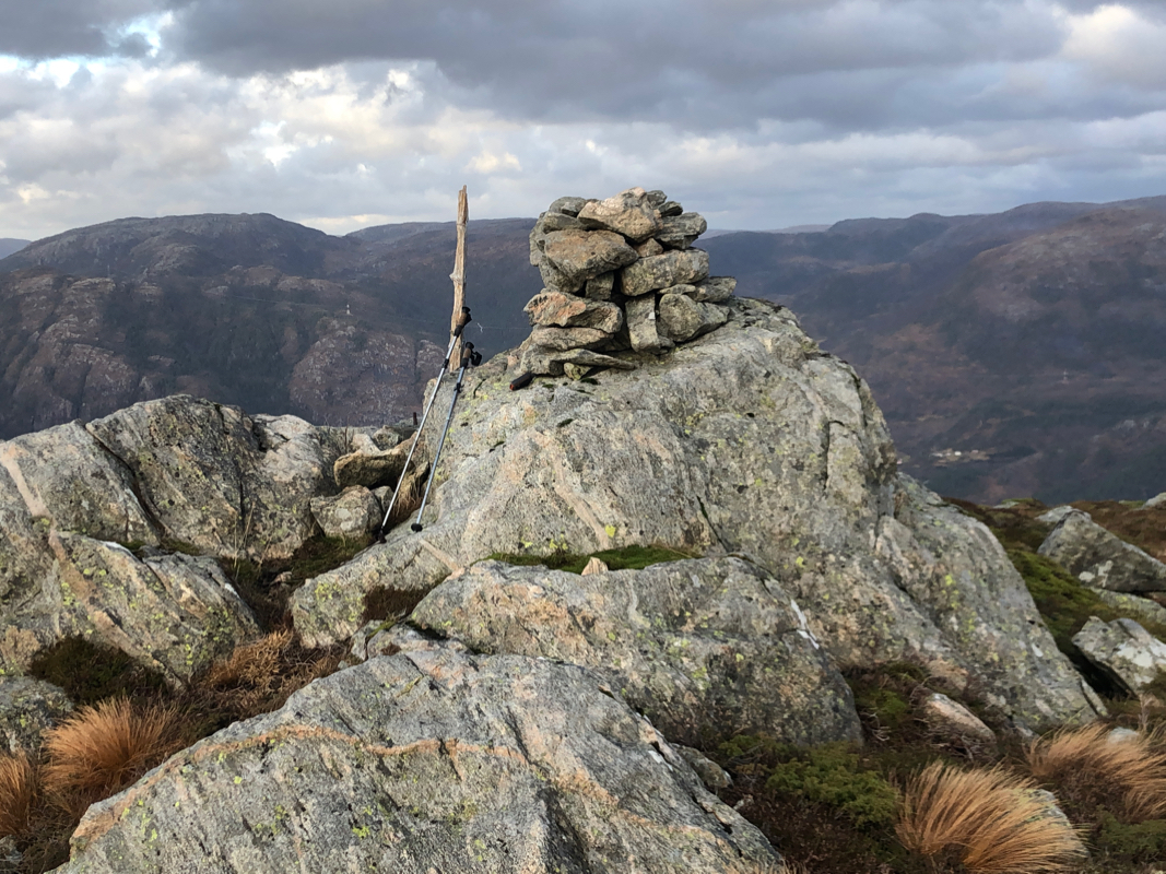
turn right (north-east) and follow the main crest of the mountain in order to
reach the highest point properly marked with a cairn. Valley route:
Proceed as described above, but do not gain elevation, continue to follow the vague
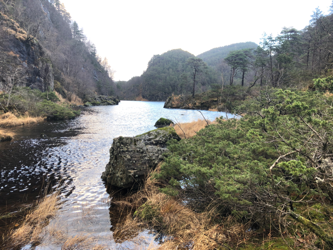
trail to the north end of the second lake, Geilebotsvatnet. Cross the creek here
and continue to the lake Svartevatnet.
The trail is highly variable, sometimes quite
easy to see, at other times just a bushwack. The local hill north of the lake should
be passed on the east (right) side. Continue north to the lakes Gaddetjørna, then
start your ascent. The terrain is nice here. As you gain elevation, turn more left and
continue a gradual ascent towards the summit, clearly visible in the distance.
Comments:
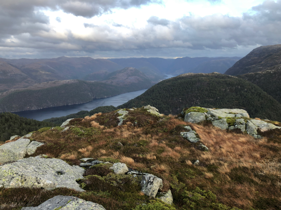
This trailhead is about as far from Bergen as possible without crossing the
Masfjorden fjord. I drove up the farm planning to ask about a suitable place
to park without disturbing the owners. However, the farm was uninhabited, nobody
around, I therefore assumed that my car could be parked where I just stopped.
I was well on my way already at 1045, the map showed a clear trail running all
the way into the valley Dalsdalen.
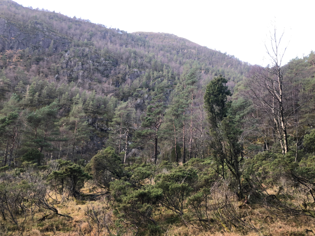
I first followed the farm road all the way to the first lake, then realized that there
was no easy way to the west side where the trail was supposed to run. I backtracked partway
down the hill, then bushwacked across to the river. The river was running big and it took
some determination to get across without getting wet. Well across, I soon realized that
the trail from the map was long gone. I could see a trace of it in a few plces, but
mostly deers had tried to use it the last 15-20 years. I still followed more or less
the route, sometimes easy, sometimes quite difficult. After (finally!) reaching the
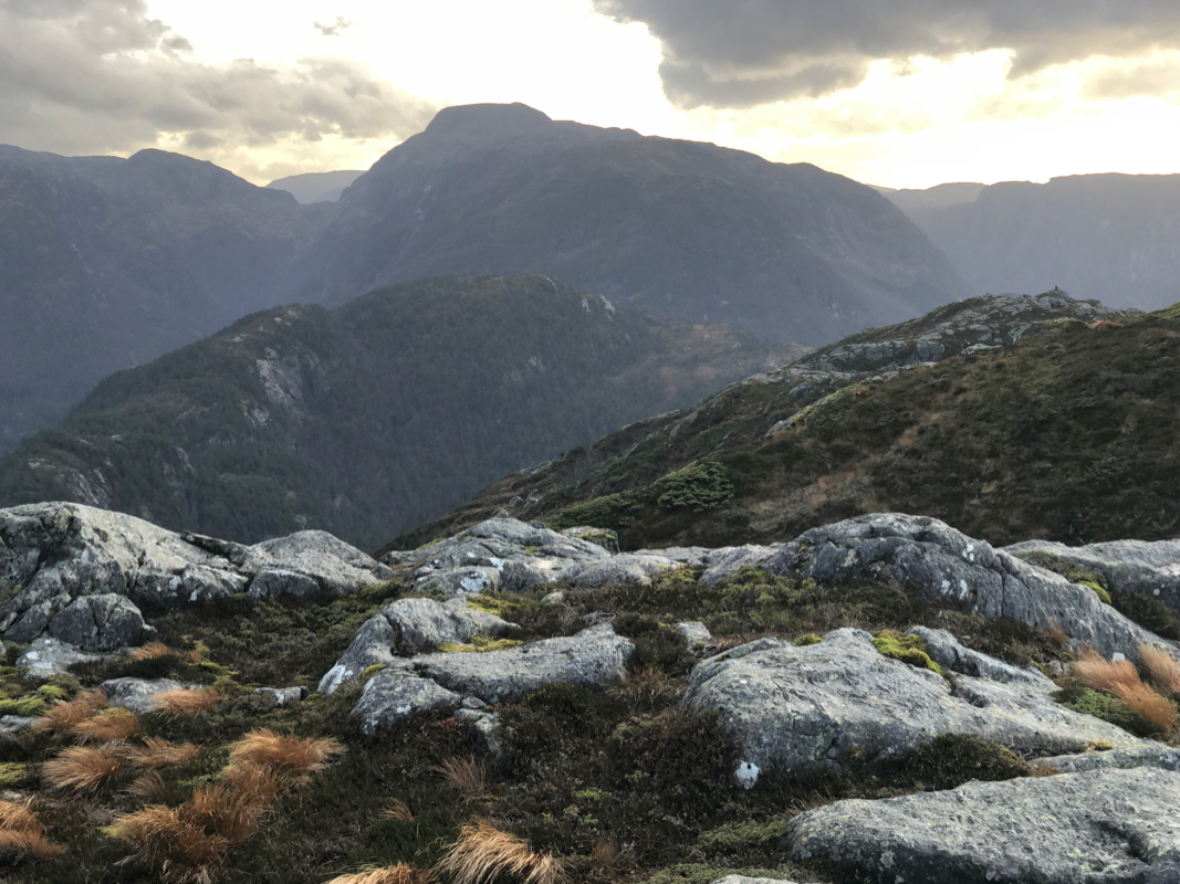
Gaddetjørna lakes, the ascent could begin. This was quite easy and I arrived at the summit
at 1320. It was obvious that a route following the main crest would be quicker and
I took this route, leaving the summit at 1330. Easy to the col before point 338 meter, then
more bushwack, descending quite steeply back down to the Paddemyrvatnet lake. I was back
at my car by 1510, a total trip time just below 4.5 hours.
