How to get there:
From Bergen (via Nestun) drive towards Arna, leave the
main Hwy. as you approach Arna (go straight instead of curving left),
following signs for Indre Arna. Continue along this road for about
1.6 km, then make a right on Stølsvegen. Follow this road as it
curves left for another 1.2 km and look for a very sharp right turn
onto a small, gravel uphill that immediately gets you onto a parking
area. This is the trailhead.
Note that the quickest route to this mountain is likely from the parking at lake
Osavatn, see
Arnt's description for much more detail. Route description:
This description is a suitable roundtrip including the mountain
Repparåsen, 609m, for extra credit along the way.
Head south along the big trail, you may soon take a shortcut trail left, the
best route is up the distinct valley that tops out at the saddle towards
the Arnanipa, 460 m. From this saddle, turn right and ascend the ridge towards
a high voltage power line. The terrain levels out as the route turns more left
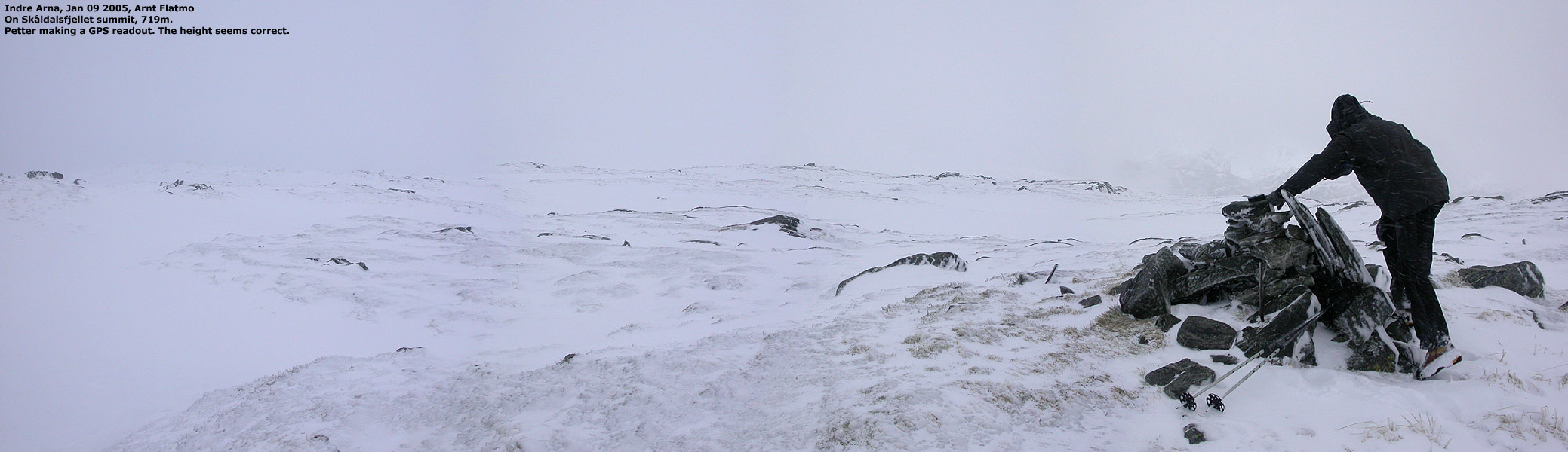
across a more gentle, rolling landscape to the summit. There are two summits,
the first one is a few meter lower than the true highpoint.
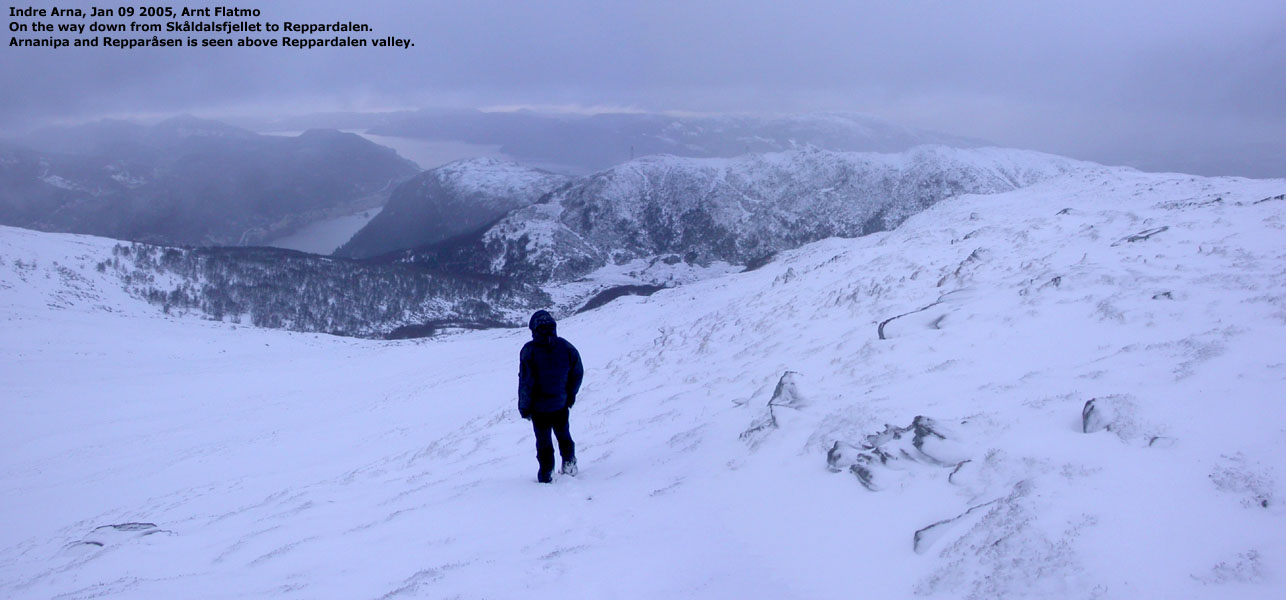
Continue down to the saddle where Reppardalen tops out. From here, a gradual
ascent to the summit.
From the summit, head west, then north into Reppardalen. There are a few huts
in the area and a bridge crossing the creek. Next to the bridge, there is a trail
fork. Head slightly downhill (the left fork) to the right of the creek. The trail soon leaves the
creek and contours more north to a new trail fork. At this junction, take the
right fork which will connect back to the big trail that you followed on the
early part of the ascent. Comments:
I did this hike with my friend Arnt.
We started around 1115 and were back at the car around 1430, about 3 hours.
We had wind to 12 m/s and hail, a bit of fog, but also periods with quite
some visibility.
Part of the route had been easier with skis, however, it was not really
difficult to complete this roundtrip on foot. We measured the elevation
of Repparåsen to 609 meter and the saddle to 516 meter giving this
mountain a primary factor of 93 meter. This suffices in Colorado (300 feet),
but not quite under my 100 meter rule in Norway.