How to get there:
Drive to the south end of lake Jonsvatnet, then continue south on
Hwy. 6676.
There is a large paarking area on the left side of this road
at location N63.31580, E010.66304. Park here.
Route description:
Take the trail that starts out near the north-east corner of this parking area.
Fork right when this trail splits. Higher up, follow a small trail (may be haard to
spot) that forks right again in order to ascend the area near the gully that is located
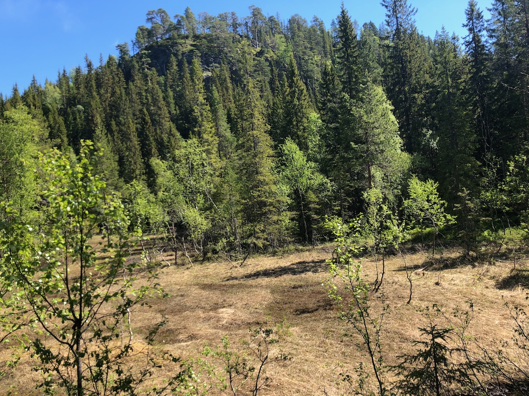
directly west of a meadow that is directly north of a pretty steep slope.
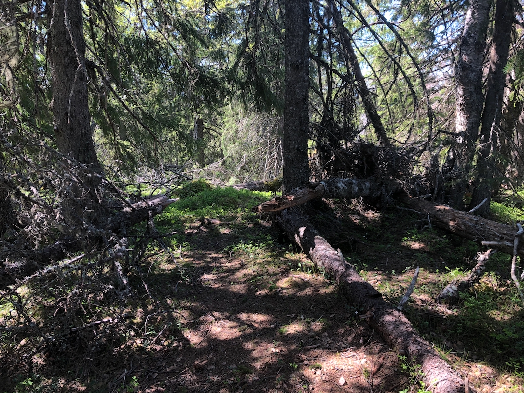
Ascend this slope along a feasible line, then continue on easier terrain to the summit.
Comments:
I started at 1230 and arrived at the summit after 30 minutes.
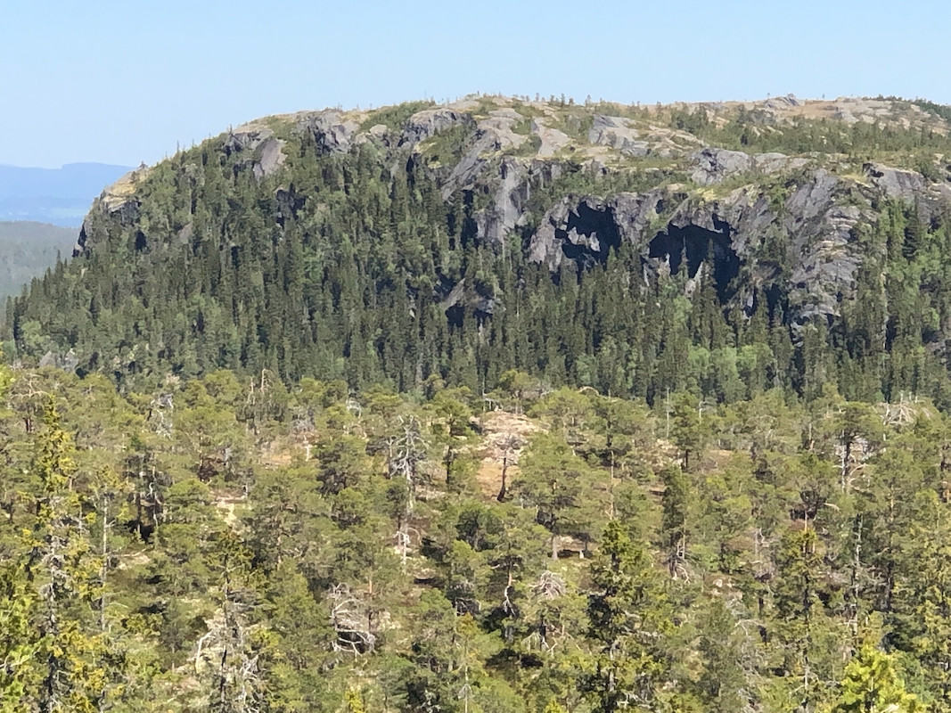
Very limited views up there,
despite the name of the peak. (Wide views)
I took a somewhat more direct route back down, still very steep with
some caution required.
