How to get there:
This mountain is located near Eide, a small place about 35 kilometer
north of Molde. There is parking next to the road just below the
lysløype (ski track with lights). This location is N62.92289, E007.44043,
elevation about 70 meter.
Route:
Walk up to the lysløype, turn left and ascend the first uphill along
what looks like a road. Higher up the route curves right and turns into a (rough) forest road.
This in turn, shrinks to a trail. The path has been improved with wooden sections to
avoid many wet spots. You will pass a big boulder and arrive at a trail junction. Turn uphill.
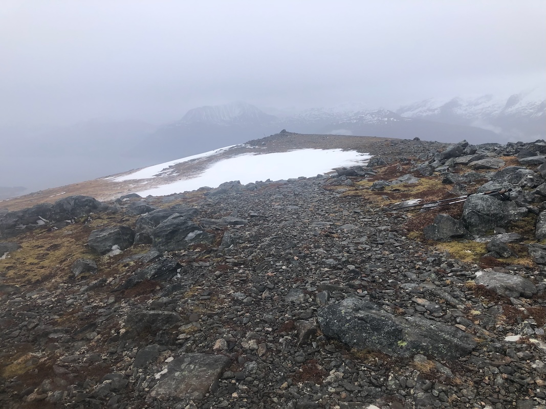
The trail now climbs through the trees, emerges into more open terrain and arrives at a trail fork.
Take the right fork signed for Vardhaugane.
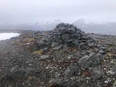
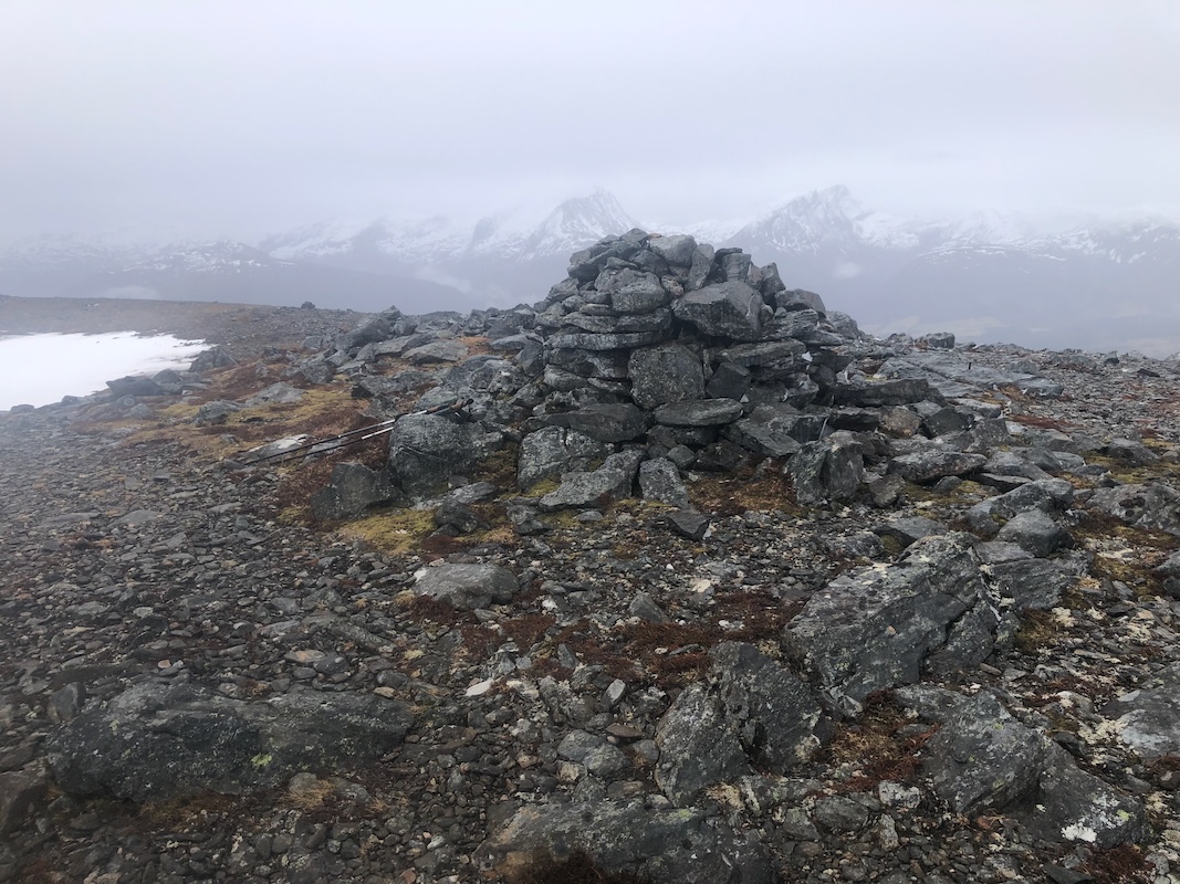
Follow this to the summit. There are two small tops,
the higher one is the second, a short distance north.
Comments:
I had been visiting my friend Per in Molde for several days. This
Thursday I needed to travel to a DNT meeting at Gjendesheim in Jotunheimen.
I had a nice breakfast at Per's house before saying farewell. Time would
permit a short hike before I started driving. Silsetfjellet looked like a
promising target located fairly close to Molde.
I parked at the trailhead parking around
0940 and was ready to walk by 0950. Keeping a good pace,
I arrived at the summit after one hour.
Not much to see, quite a lot of fog and a light
drizzle of rain. I started back down at 1100 and got back to my car in 45 minutes.
A complete change into dry clothes was needed before I could start my drive
to Jotunheimen.