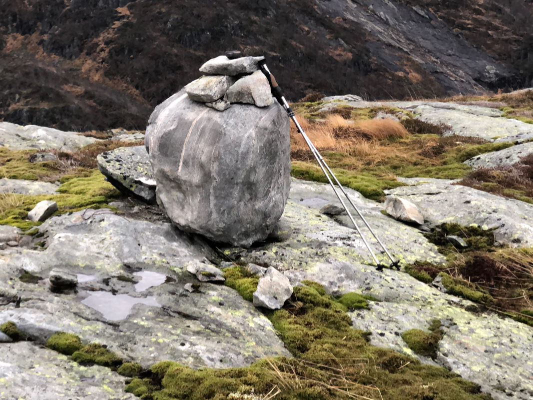
Location: North 60.83193, Esst 005.60051 (GPS at the summit).
Hordaland, Norway
Difficulty, YDS class 2
Climbed on November 12. 2020
Information:
How to get there:
Drive E-39 north from Bergen. You drive up the Romarheim valley,
exit the upper tunnel, the road crosses the pass and starts descending.
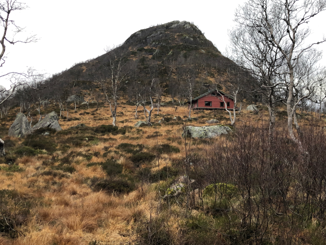
You will see the small, but distinct mountain
on your left as well as
a small turnoff where you may park. This location is
N60.82836, E005.61165, elevation about 420 meter.
Route description:
Start out keeping slightly left of the peak, as you walk to the right, but
fairly close to the leftmost red cabin, not the one located directly uphill.
Turn gradually right as you enter the small bowl behind the first little
bump on the main summit ridge. Head steeply uphill. Higher up, where some
cliffs block easy access, traverse a bit left to locate a grassy gully
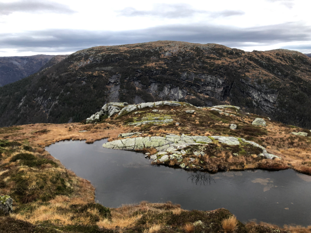
connecting to the top. Finally, continue along the main crest, passing a couple
of false summit points before the summit. There are two nearby areas of almost
equal height.
Comments:
I decided to do this peak as a bonus since I was nearby with some time
to spare. I started up the hill at 1450. The ascent was easy and I arrived
at the summit in 30 minutes.
Good views all around. I descended at 1530,
arriving back by my car at 1550, a one hour total trip time.
