Location: North 60.13252, East 005.78823 (GPS at the summit)
Climbed November 20. 2016
Difficulty: YDS class 2
Information:
How to get there:
This mountain is located in Fusa, a municipality south-east of Bergen.
Drive Hwy. 48 south from Eikelandsosen to the intersection with Hwy. 549 at a place called
Kilen. Turn right onto Hwy. 549 and continue 17.3 kilometer, you should have exited a tunnel,
then immediately before a new tunnel, turn off on a small road on your right hand side.
This road clims steeply, just before the road crosses the river, there is a small road
forking right, shortly uphill along this road there is parking on the left hand side.
Park there, elevation about 55 meter. I parked a bit further along (the spot was taken),
at location N60.12070, E005.76812.
Route:
Walk the road across the bridge and then up on the right hand side of the white farm building.
You should note some rough trail that disappears into the forest. Climb steeply to a small
local col, descend to the creek and continue uphill on the left hand side of this creek.
Continue steeply uphill into a small, narrow valley, turn sharply right and ascend right avoiding
cliffs to your left hand side. Continue uphill on easier ground, bypassing a few small tops as well
as a small pond before arriving at the
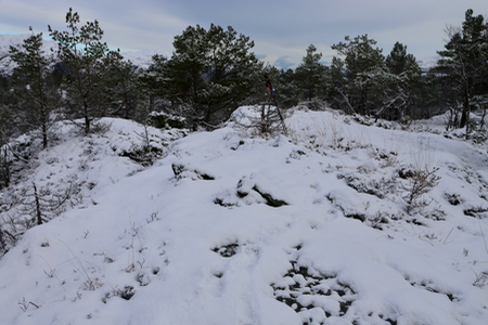
highest, small local ridge. Comments:
I started out at 1150. The terrain was quite wet after prolonged, heavy rain.
No real difficulties, but cumbersome terrain and quite a few fallen trees.
Definitely, (YDS) class 2 terrain.
I arrived at the summit at 1305.
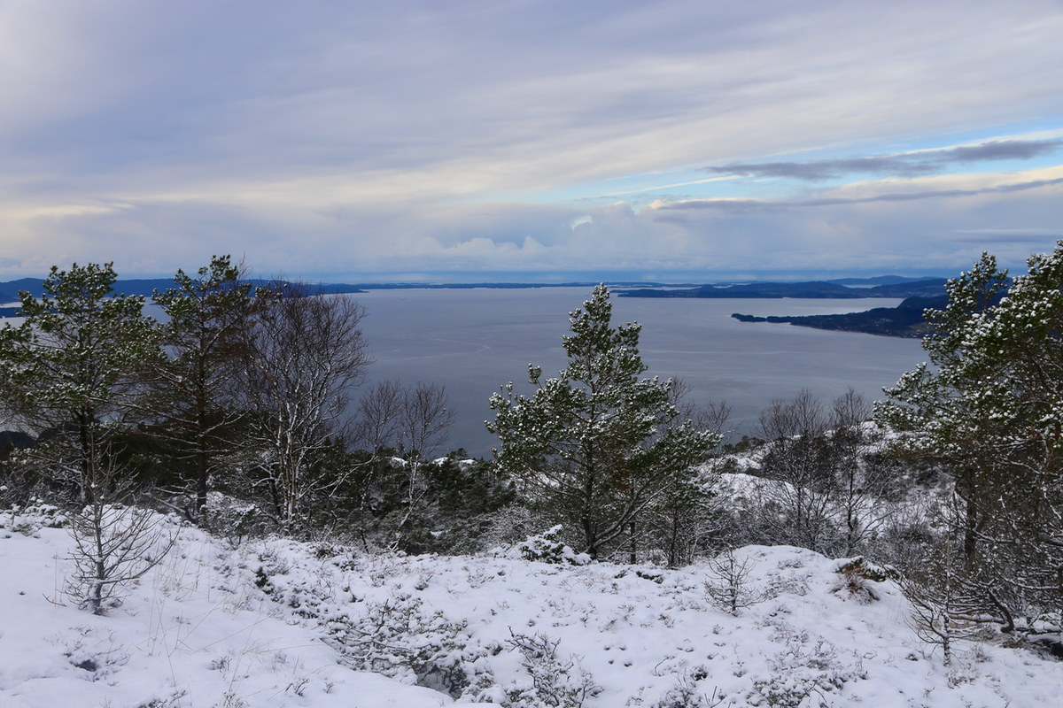
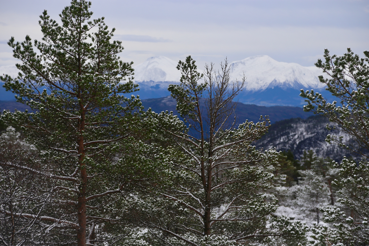
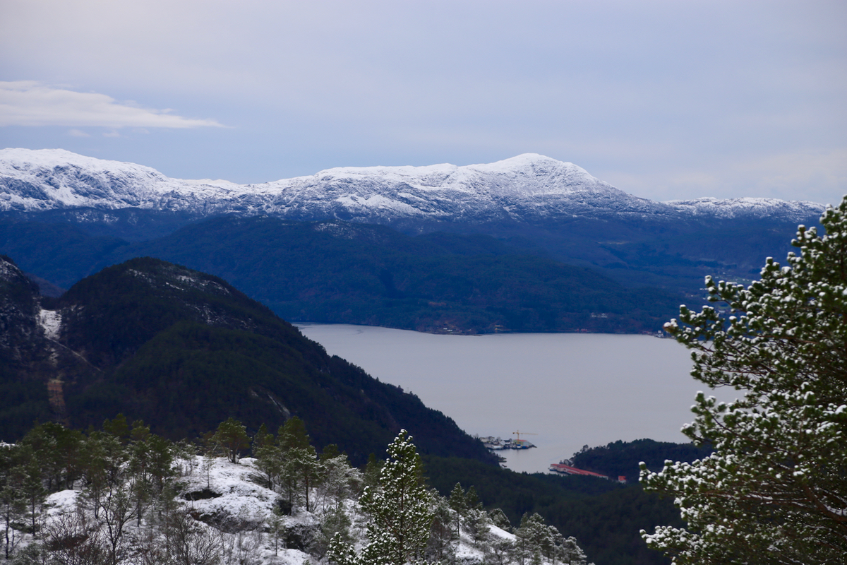
The view
was pretty good and especially Ulvanosa
looked good in her new, white dress.
Leaving after 5 minutes, the descent took 55 minutes, more or less along the same
route.