Location: North 60.68166, East 005.28552 (GPS at the summit)
Difficulty: (YDS) class 2 (mostly class 1)
Climbed April 19. 2013.
Information:
How to get there:
From Bergen, drive north along E-39. Cross the large floating bridge, then a
suspension bridge, arriving in Knarvik. Turn left onto Hwy. 57 in the very first
traffic circle after the bridge. From here, drive along Hwy. 57 about 17.5 kilometer to the small
place Hundvin. You arrive here immediately after driving through a small tunnel. Turn right onto
Hwy. 390, the sign says Søreide. Drive 2.7 kilometer, then turn left (sign for Vik).
On this small road, continue 1.1 kilometer. You will drive through a couple of small farms,
then gently downhill approaching the last farm. As you cross through an open gate, the road
also crosses a creek that comes down from your left hand side. This is the trailhead. Check
by the farmer in the house ahead. He is very friendly and will advise you on parking.
This location is N60.67311, E005.27709, elevation about 50 meter.
Route description:
From the road, right next to the creek, cross the gate in the fence (be certain to close it
behind you), then proceed up the hill (on the farmers field) and
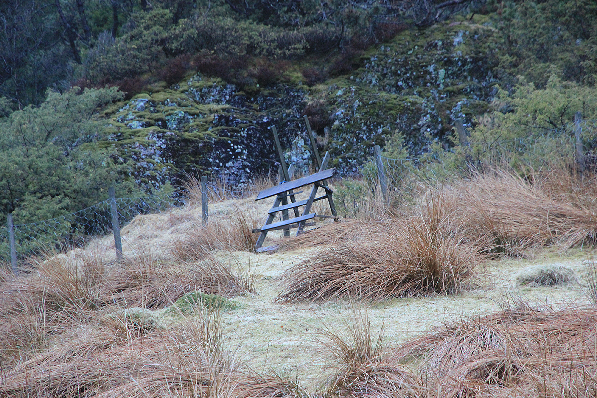
locate a fence crossing ladder at the upper end of the field.
Cross the fence. You will find that the trail continues up a short, but steeper
section of rock, first directly ahead, then steeply up to your left. This is the only
part of this route that has a (YDS) class 2 designation. The rest of the route is class 1.
Next, the trail proceeds pretty horizontally on the right hand side of the creek until it
crosses the creek. This crossing may be a bit akward if there is a lot of water. Alternatively,
just proceed on the right hand side of the creek.
The small trail proceeds a bit further away from the creek (now on its left side), then hits
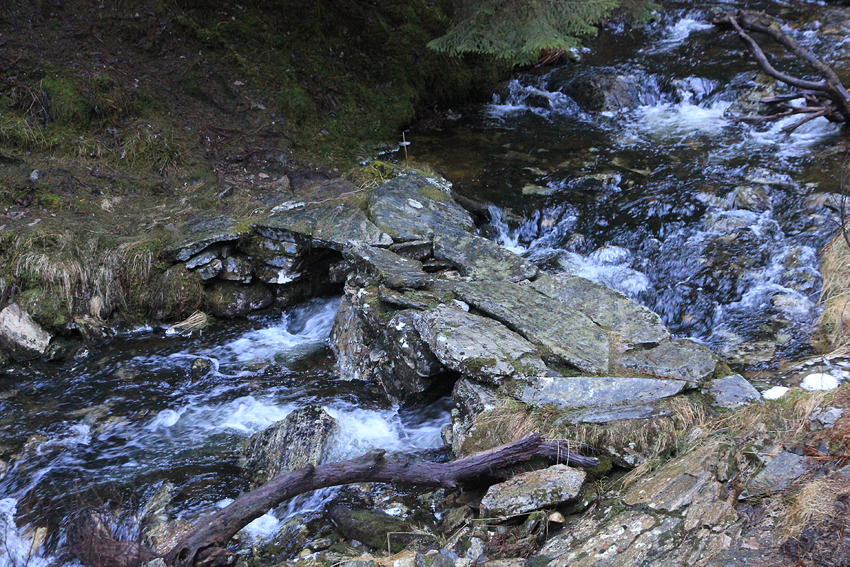
an old forest road. About 50 meter along this road, the trail forks off to the right and crosses
the creek on a nice stone bridge. (If you just walked along the right hand side of the creek,
you will hit upon the trail and see the stone bridge on
your left side.)
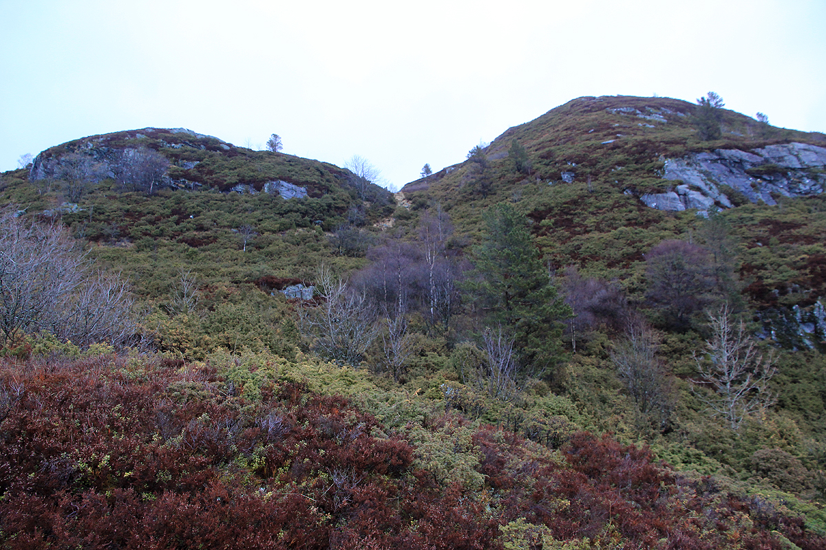
Follow this trail (right) as it runs nicely uphill and emerges out of the forest. Higher up,
climb a distinct hill,
then proceed a bit further
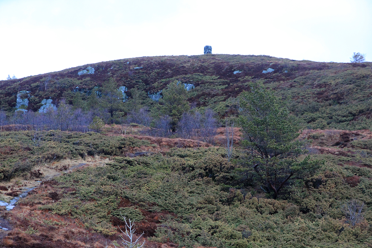
along and gain the highest summit.
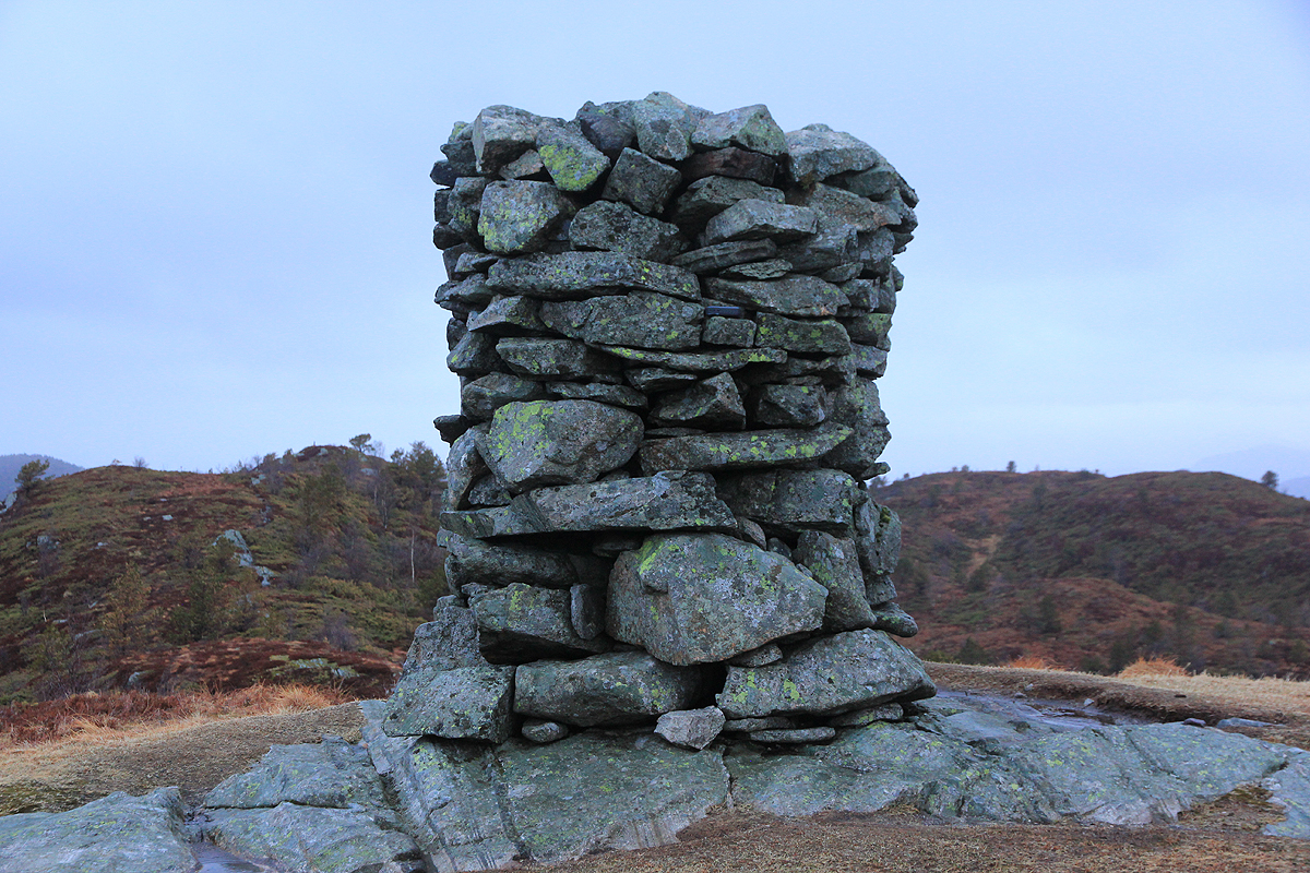
This summit has a large cairn. Comments:
I was attending a two day seminar, staying at the Westland hotel in Lindås. It seemed nice
to visit this small top with a significant prominence, as a before breakfast hike.
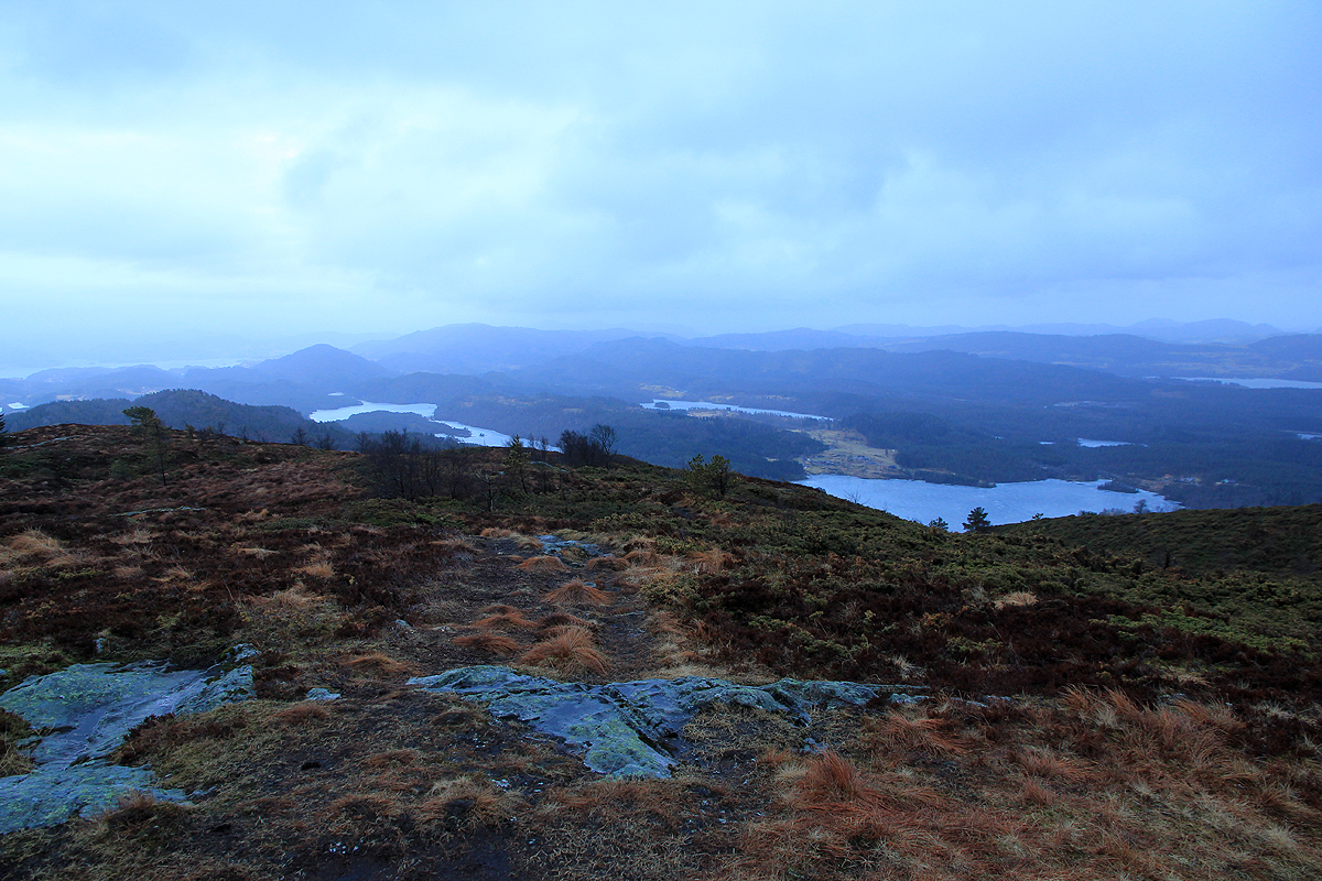
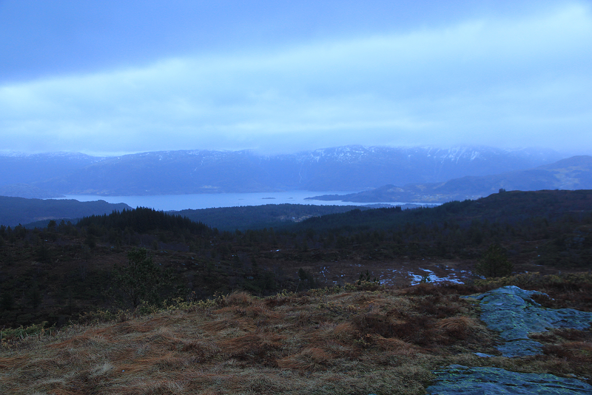
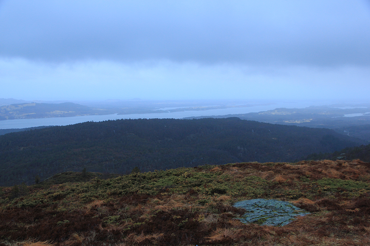
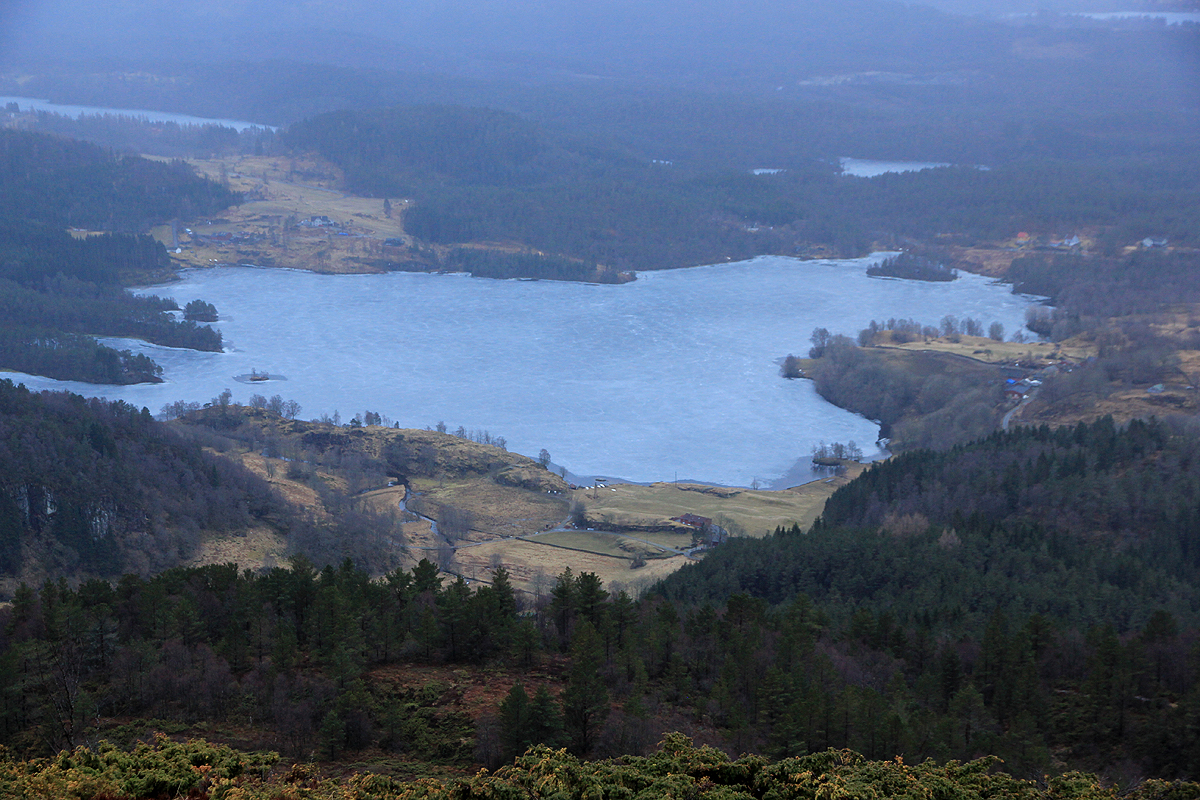
I started hiking at 0600 and arrived at the summit by 0640. It was cloudy, but
no rain. The view was pretty nice. Leaving at 0645, I was back at my car
at 0715. Thus back at my hotel with plenty of time to spare before breakfast.
