Location: North 60:15.029 East 005:06.789 (GPS on the summit)
Difficulty: YDS class 1
Climbed October 16, 2011.
Information:
How to get there:
Drive to Sotra from Bergen. As you exit the long tunnel on Sotra, you enter
a traffic circle. Go left on Hwy. 555 towards Klokkarvik. Further along,
Hwy. 555 forms a circle. Go left where the sign says "Klokkarvik 7".
This is shortly after you enter the municipality of Sund. Measure from
this intersection. Drive 1.9 kilometer, then look for a signed intersection
where a normal sized road runs left. You should see the mountain up ahead.
Turn left here and continue to kilometer 2.7. Fork right here, this road has
speed bumps. Drive across 8 speedbumps, then find a nice turnout parking next
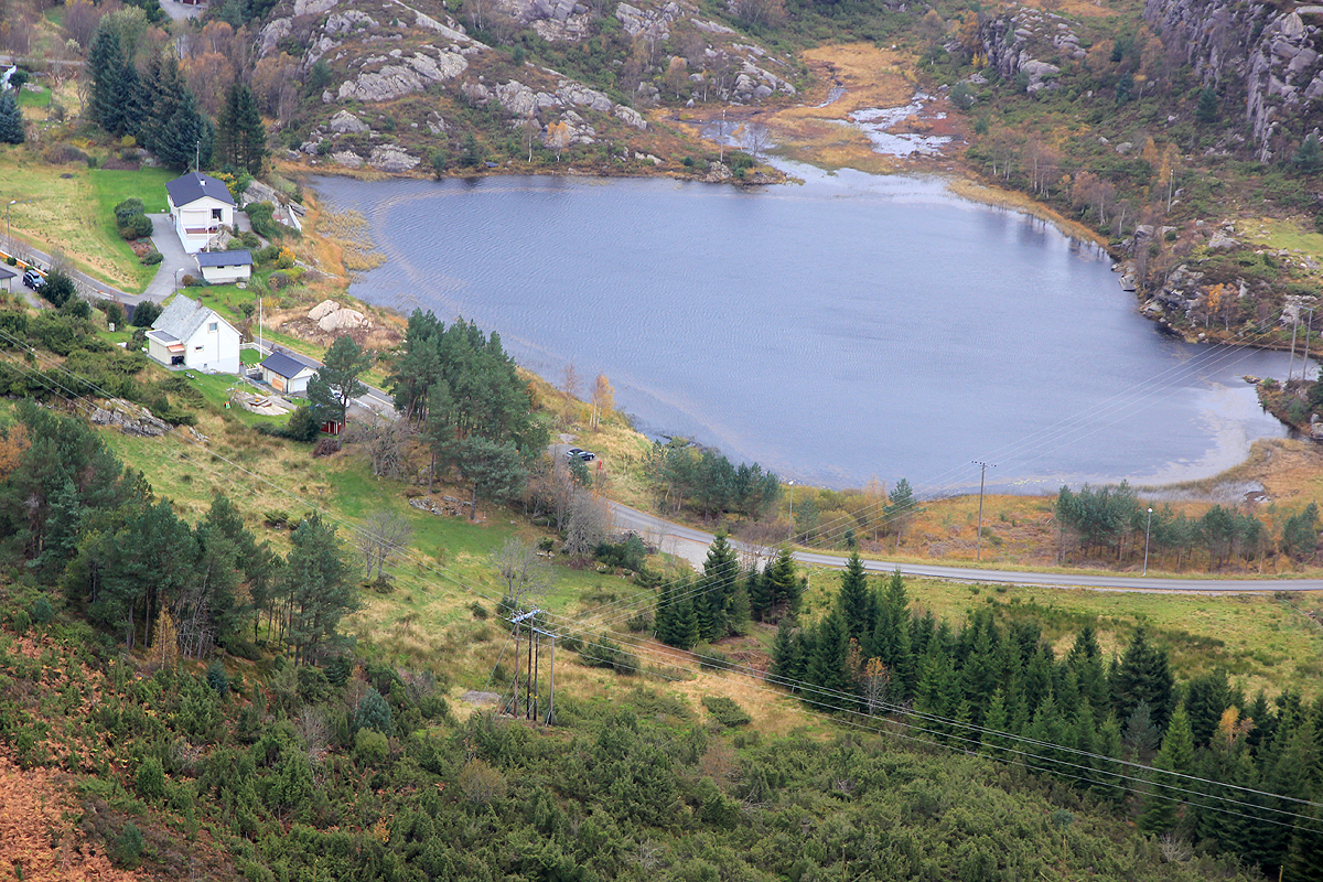
to a small lake on your left. This is kilometer 3.4, park here, this is the trailhead,
location N60:15.269 E005:06.854, elevation about 38 meter.
Route description:
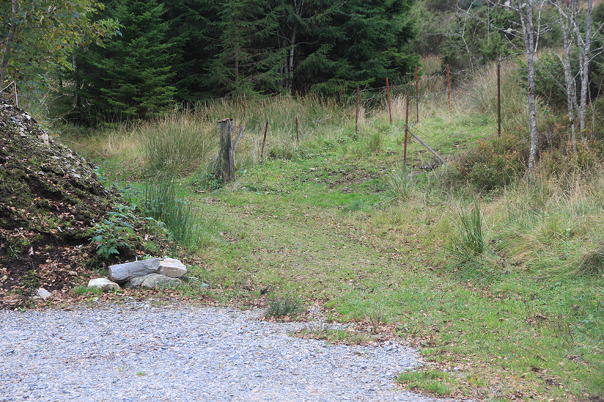
Continue a few meter along the road, then cross it and
locate an open passage with
access to an open field. Do not take the forest road that heads more left. Cross this
small field, while heading uphill, you will hit a small fence among some trees.
Cross the fence and continue to follow the trail which is much easier to see from here and
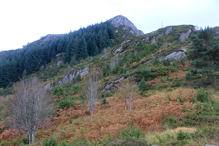
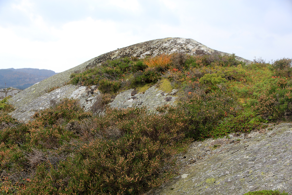
onwards. The trail scales the main ridge, then turns more left and ascends to the base of the
summit rock. Follow this on the west (right) side, then the trail turns left and completes the
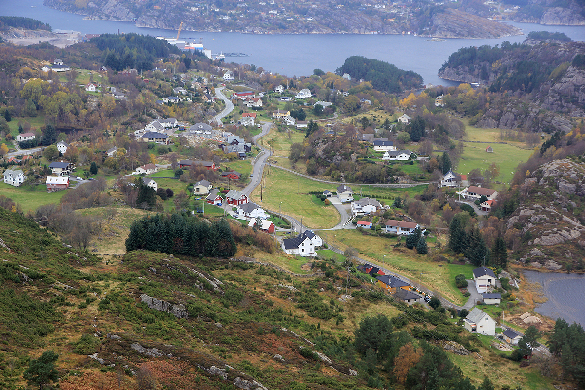
climb. There is no marker on the highest point. The best view is perhaps a few meter
further, where the trail ends in a nice overlook. From here, one can look back down to
the trailhead as well as viewing the local community below.
Comments:
I started around 1300 and hit the summit about 1320. The view was nice, but clouds were
gathering and a big low pressure system predicted. Thus, I returned back down to my car
and headed home via my office. There seem to remain 3 more mini-summits on Sotra, each
having more than 100 meter of prominence.