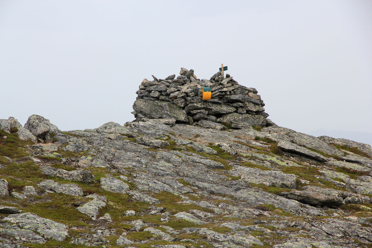
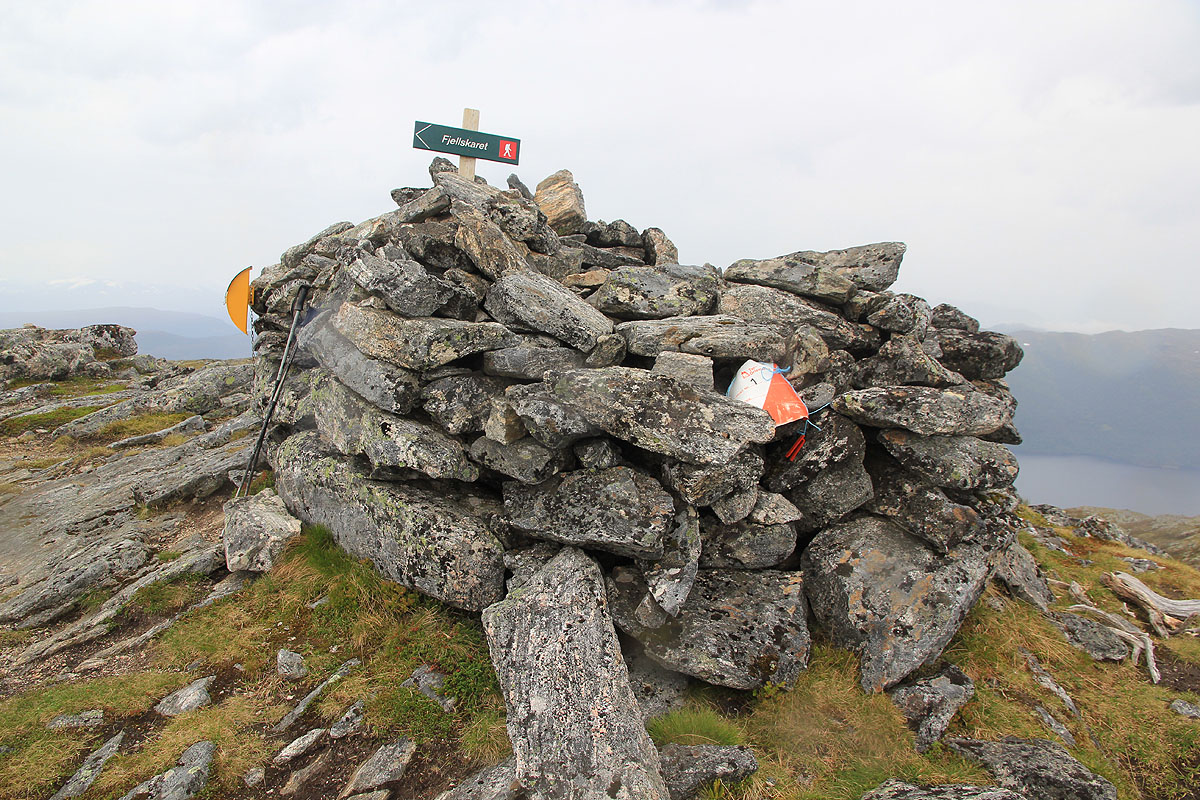
Location: North 63.03029, East 008.28351 (GPS on the summit)
Difficulty: YDS class 2
Climbed June 21, 2013.
Information:
How to get there: Note:
The best trail (marked) seems to start near Indre Volem, that is northwest
of the summit. The route described here does not have a trail all the way.
Locate Hwy. 65 connecting Surnadal to E-39, then locate Bøfjorden, a small
fjord that is just west of this Hwy.
Take Hwy. 65 and locate the signed side road to Bøfjorden, the sign says
Bøfjorden 4 km. Measure from here. Drive 3.6 kilometer, then fork right.
At kilometer 8.0, the road changes from paved to dirt. Continue to kilometer 9.9.
There is parking for a few cars on the left hand side of the road. This location
is N63.01536, E008.27430, elevation about 10 meter.
Route description:
From the parking, walk a few more meter and locate a sign that points uphill across
a small field (gras). Take this trail. Above the first small field, this trail merges with
and old forest road. Continue on this a very short stretch until you see a road fork
with one (smaller) farmers road going right.
Take this road
a very short distance and locate a pole serving electricity supply on your left.
Do not cross the creek!
Head directly uphill across another (small) open field (long gras).
Locate a faint trail that starts out uphill. This trail may be hard to see at
times, but it climbs more or less directly uphill a bit on the left side of the creek.
You will find it again, do not move very far from the creek. Higher up, the trail becomes
more distinct and easy to follow. There is even some old red paint on a few trees.
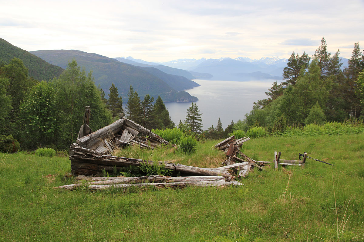
Finally, the route follows a small meadow and you emerge on a nice little spot with
the ruin of an old farmers building. This location is
N63.02247, E008.26812, elevation about 410 meter.
From here, continue up the field behind the ruin and find a trail that will traverse
below the steep hillside on your right hand side. After descending very slightly, look for and
locate the small trail that climbs uphill as soon as the terrain allows. Gain a small plateau
higher up and follow a trail that continues uphill. From here, the route becomes less clear.
The best approach is likely to cross the creek that comes down a small valley and ascend a bit
higher on its right hand side (I descended this way), alternatively, just bush-walk straight
uphill and follow the ridge above the line of vegetation to the summit. The former approach
will require that you cross back and then ascend a final,
steep slope to gain the summit. Comments:
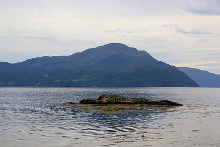
I came with a morning flight from Bergen, checked out my rental car and drove
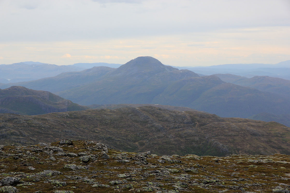
to the trailhead. The first mountain, Saksa,
was clearly visible from the ferry.
I parked and headed up a very faint trail around 1100. The trail was steepish and
it did not look like anybody had been here for quite some time. I started to
realize that the official summit trail most likely started on the opposite
side of this mountain. Higher up, things seemed to improve, but well above the farm
ruin I found myself fighting vegetation in order to reach the tree line higher up.
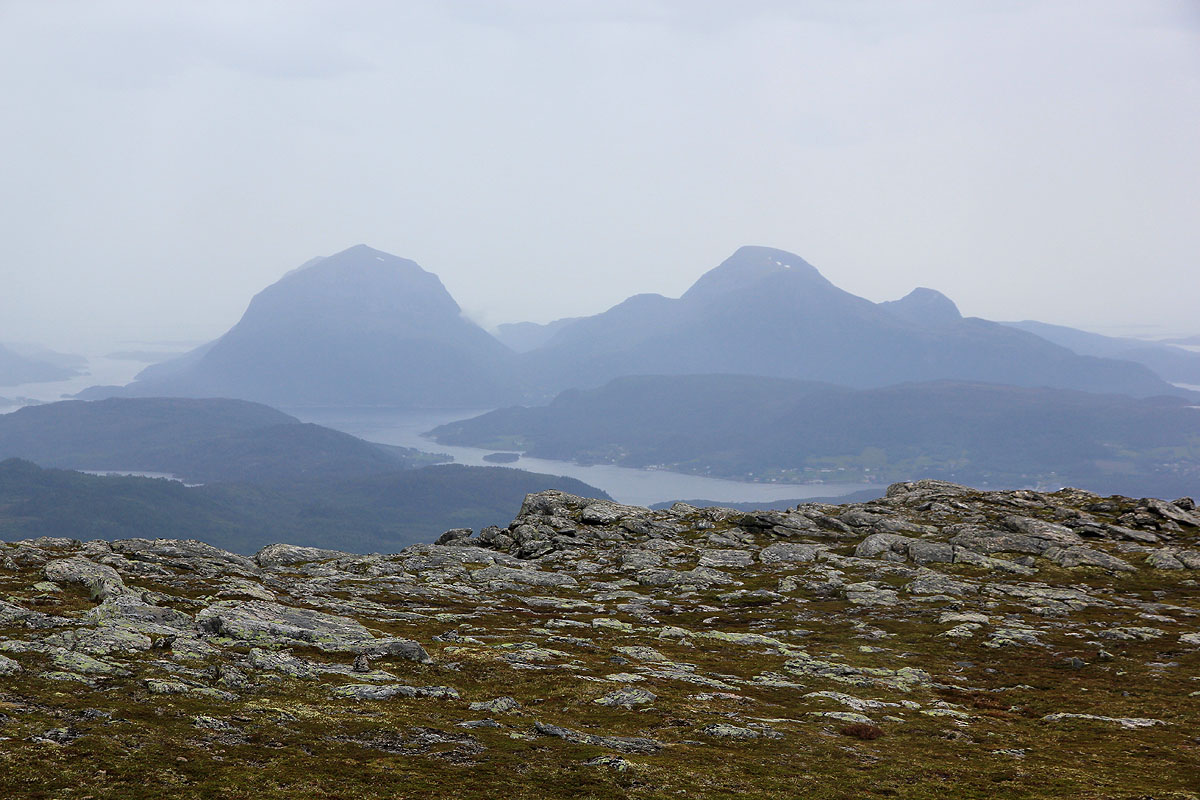
I arrived at the summit by 1250, it was raining and I left by 1300. Deciding to
explore a variation, I descended more steeply to the col towards Skarvan (794m), then
continued down on the ridge on the left side of the small valley (with the creek).
I regained my uphill route on the small plateau, then followed the trail back down to
the ruin and back down to my car, arriving there about 1420.