Location: North 60.33442, East 005.71915 (GPS at the summit)
Climbed April 1, 2017
Difficulty YDS class 1
Information:
How to get there:
From Bergen, first E-16 to Trengereid, then Hwy-7 across to
the Samnanger fjord. After the long tunnel, turn right in the
traffic circle onto Hwy. 48. After leaving the fjord, the road runs uphill.
immediately after a small hilltop, find parking on the left hand side.
This is the trailhead, location 60.33723, 005.69083, elevation about 190 meter.
Route description:
Take the trail that starts directly from the parking. This trail
runs uphill to an area with a few cabins. Pass very close to one cabin, then
ascend more with a waterfall on your right. Immediately, when you reach more
level terrain, there is a trailfork. The trail going right has a sign
saying Fløyen. Take this trail and follow it until you cross the
river in a convenient location. Leave the trail here, then follow smaller
deer trails that will keep you above the lake Stemmevatnet.
Gradually, turn more south while following small meadows, turn a small, local
hill on its right hand side and finally, ascend the slopes to gain
the Såta summit.
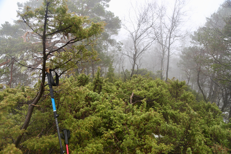
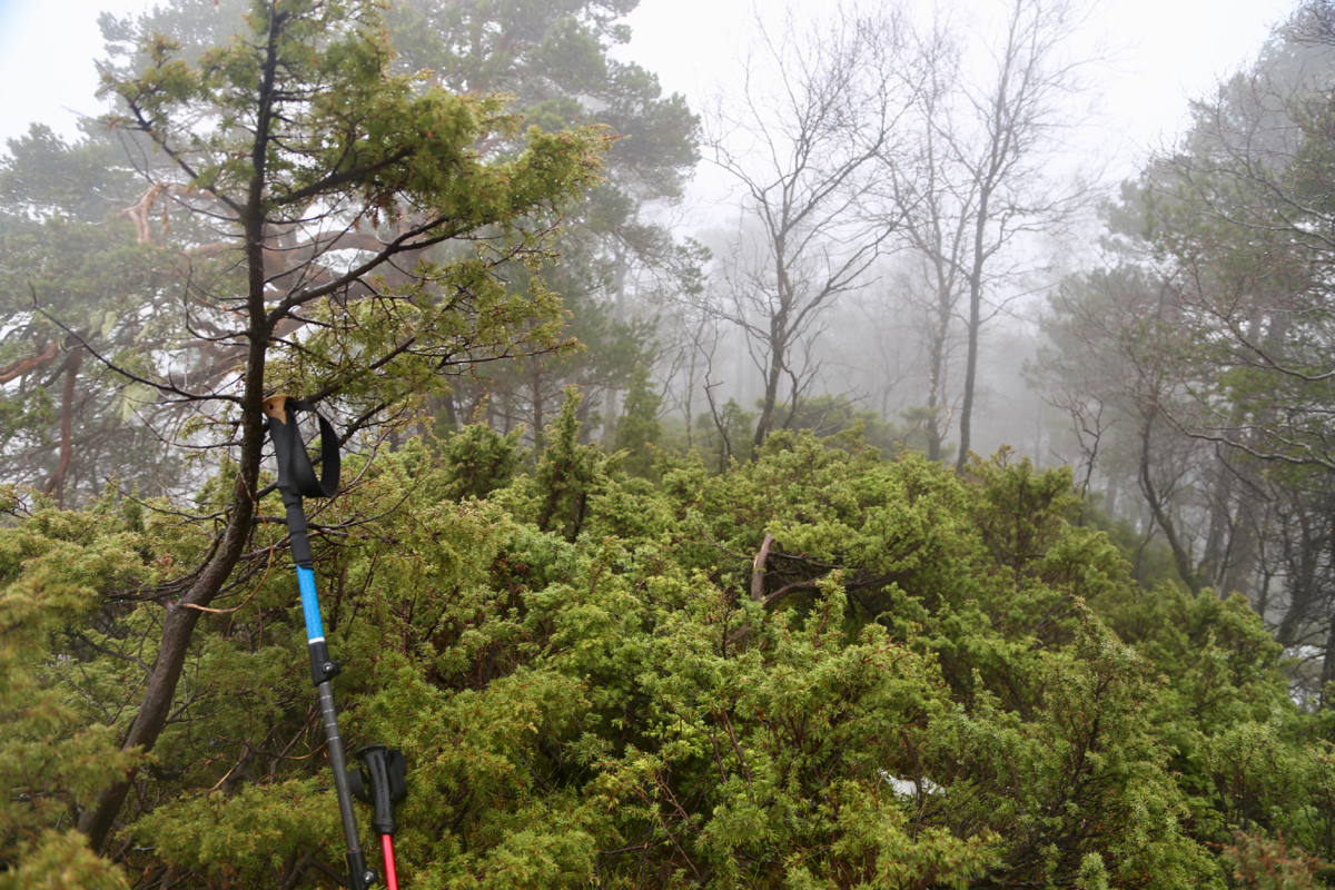
Looking carefully, you should locate a single rock
that marks this summit.
Comments:
A grey morning with a late breakfast. Just right for
visiting a forest summit in Samnanger. I left my car at 1220 and
arrived at the summit at 1315. After 10 minutes taking a couple of photos,
I returned back, picking a slightly better route in the upper section.
Back at the car by 1400. The trip was concluded back home with a warm
sauna and some newly made bakery from Heidis skilled hands.