Location: North 69.00856, East 017.78095 (GPS at the summit)
Climbed May 29, 2016.
Difficulty: YDS class 2
Information:
How to get there:
Locate Hwy. 84 connecting the small community of
Sjøvegan with Sørreisa. This is south-west of Bardufoss.
Driving north on Hwy. 84 from Sjøvegan, first along the fjord, then
inland and more north along the east side of lake Røyrbakkvatnet. Next,
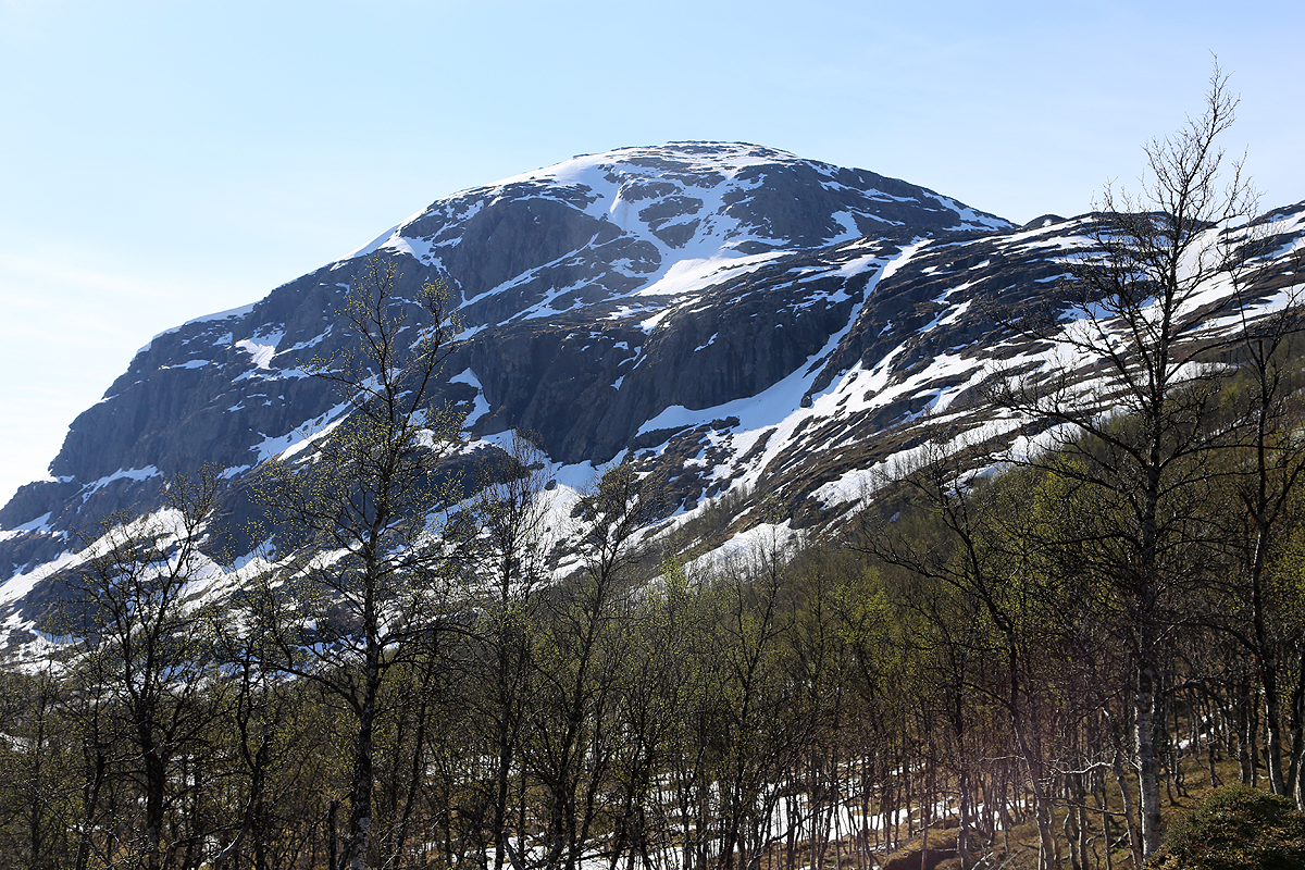
you will have Store Rundfjellet on your right hand side. Continue until you
are north of the mountain. Look for a small dirt road going right with the
sign "Skytebane", (Shooting range), turn right here and drive straight towards
the hill until you cross a small, concrete bridge. Find parking here, it is not
allowed nor advisable to drive any further. This location is
N69.02635, W017.74728, elevation about 115 meter.
Route:
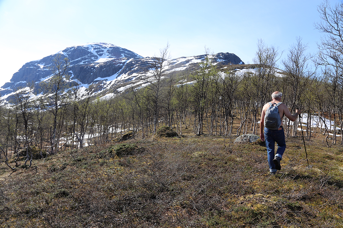
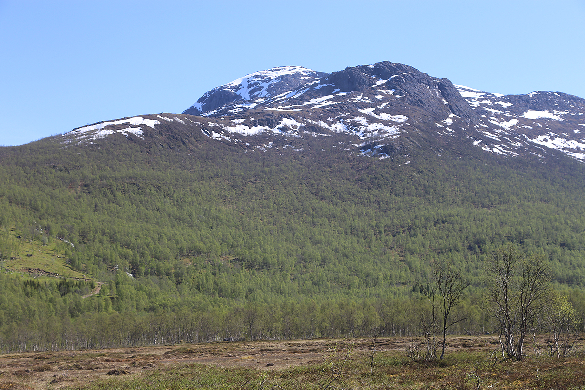
Continue up the farm road in zig-zags until it runs a long stretch to
the right (away from the mountain), leave the road here and traverse
uphill towards the mountain, such that you reach
the more level area
about where the river from the lakes higher up, drains downhill. Find
a spot where it is safe to cross. Continue up the north ridge in two
stages with a more gentle section in the middle. When you reach the
more level area west of the summit, there are two options. One may pick
a steep route more or less directly to the summit. Alternatively,
continue south and access the south ridge, then follow
this to the summit. Comments:
I climbed this mountain with Mike Fellows
and his wife Fran Rosamond.
We had spent 3 nights at the nice DNT hut Skoddeberghytta and were
on our way back to Tromsø. This mountain looked like an ideal
goal for a not too long hike in the phenomenal good weather that we
were experiencing.
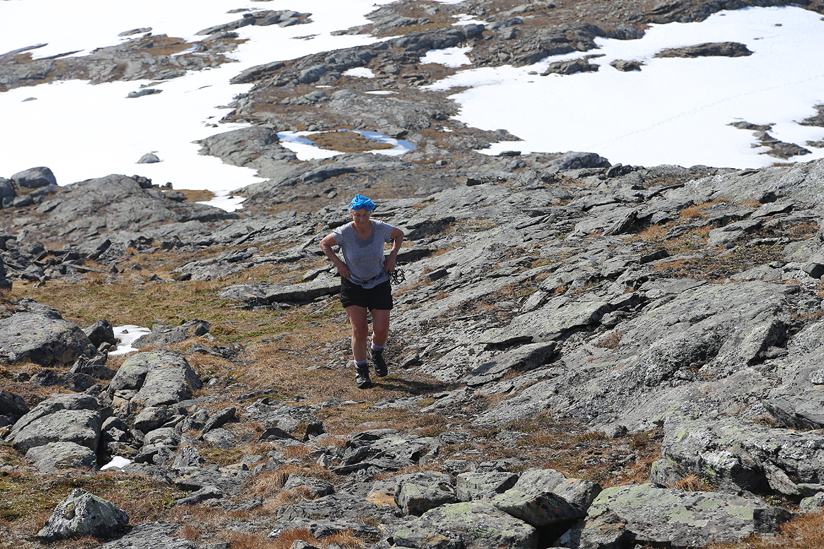
We started out at 0945 and after about one hour and 400 vertical meter,
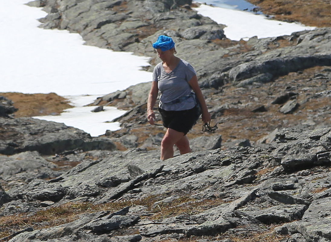
Mike decided to enjoy the scenery and take a break while Fran and I
continued up towards the summit. Fran is well above 70 years and I carefully
looked for a most feasible route. This still involved a small snow traverse
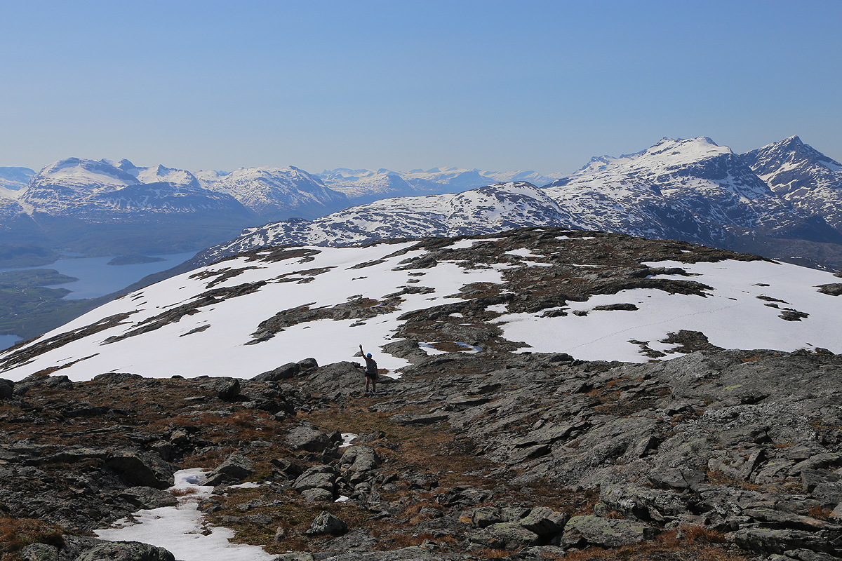
in order to reach the top of the north ridge. From there, we went across to
the south facing ridge, thus avoiding snow and getting a more
gentle slope
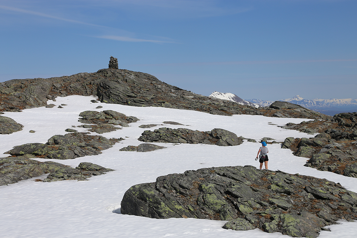
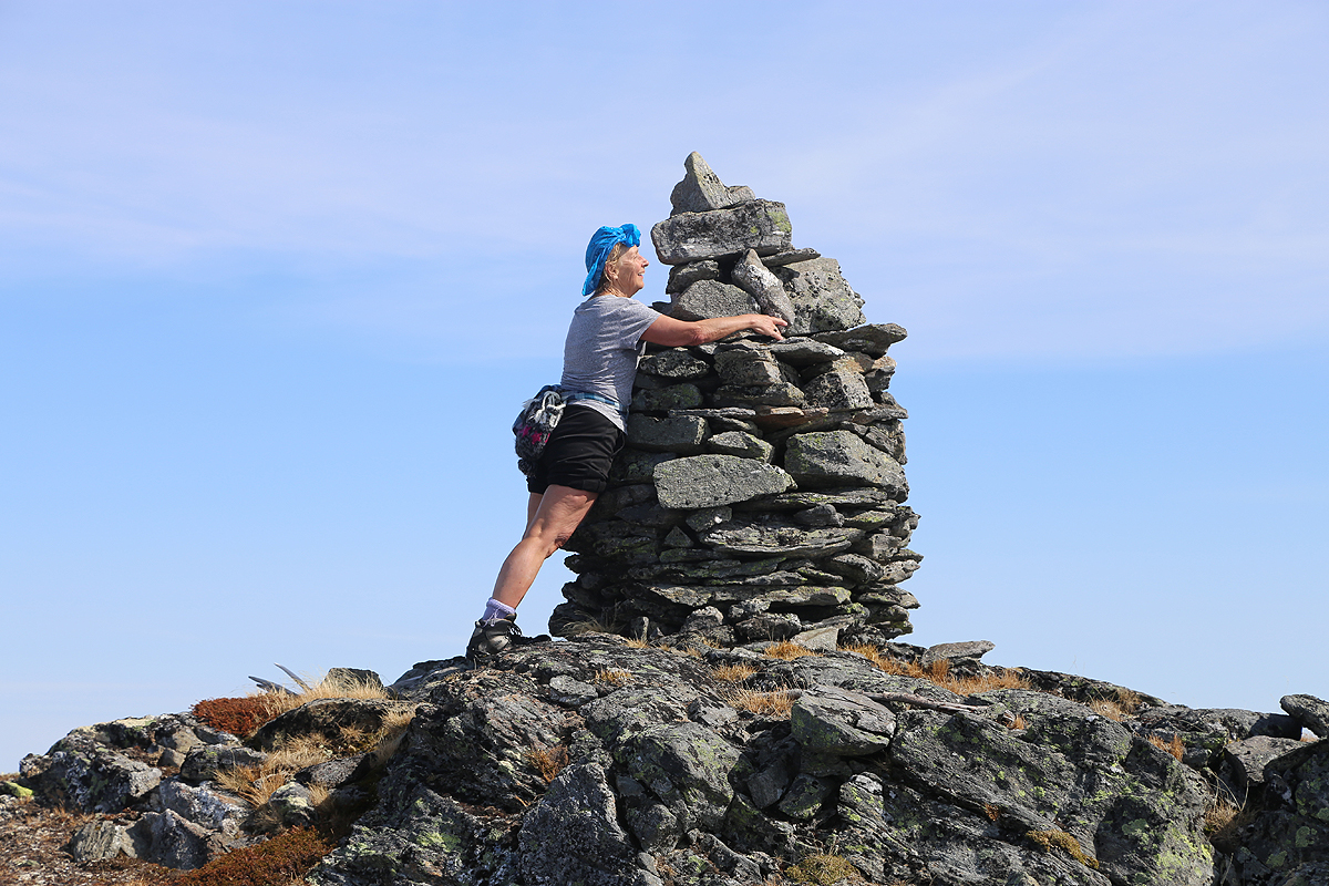
along this ridge to the summit plateau. Fran made
the summit at 1210, an impressive
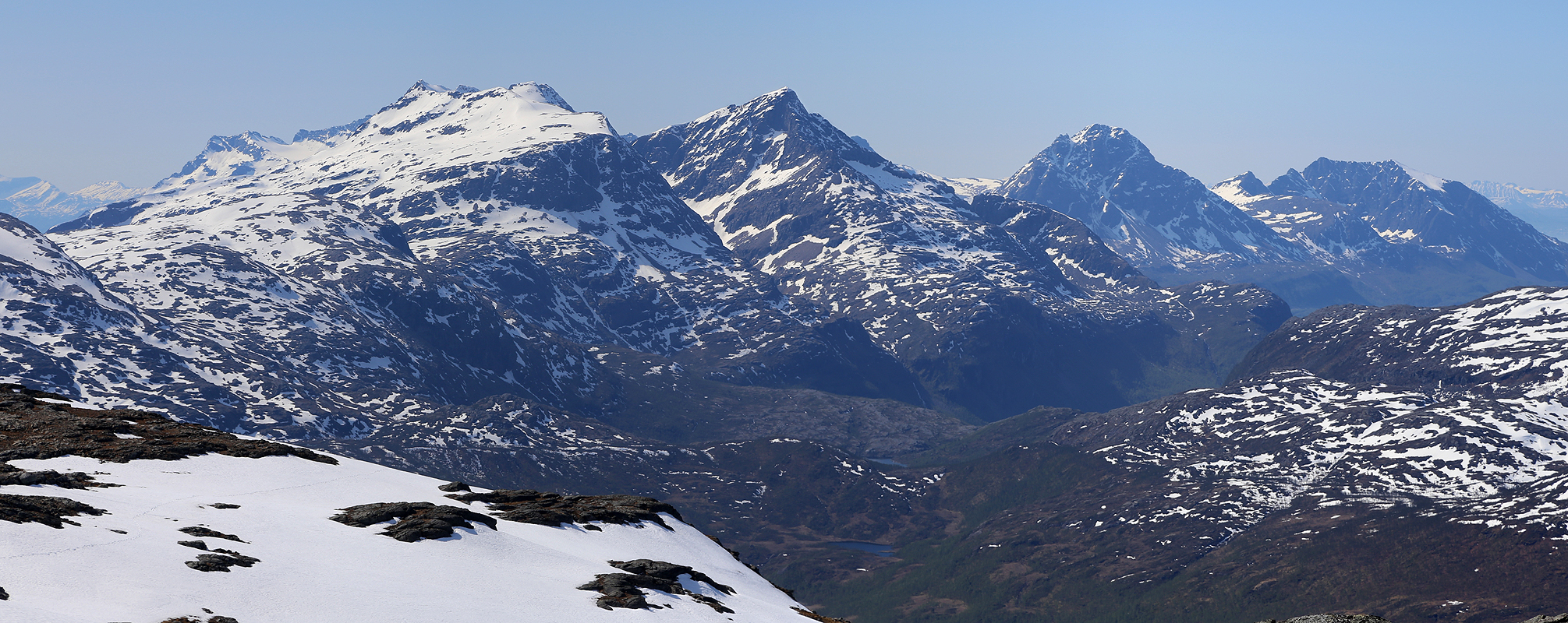
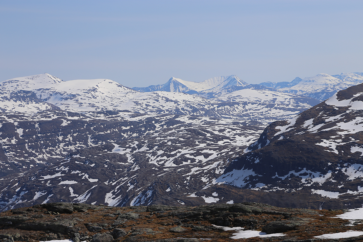
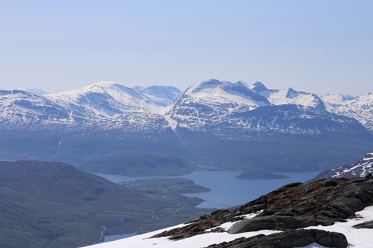
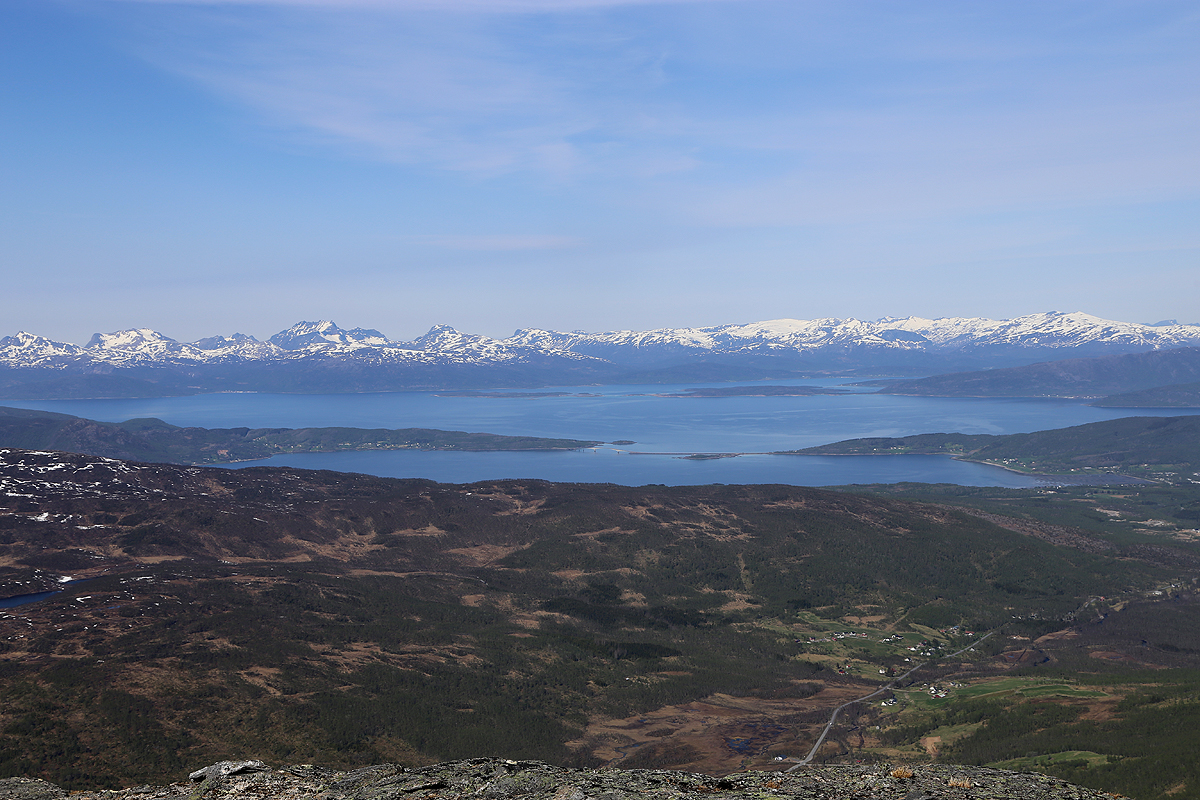
effort. We looked at the great
scenery all around, this realtively low mountain is a very good viewpoint.
Leaving at 1225, we quickly made it back down to Mike.
We had all crossed a rather shaky snow bridge across the small river that
drains the lakes next to this peak. I wondered if it would still hold
at our return later in the day. The temperature was well above 20 Centigrades,
not good for fragile snow bridges. I first took 3 medium logs and put across in order to
distribute weight, then stepped onto two of them with my first foot. The entire bridge
collapsed into the river. I quickly stepped across, then gave Fran a pole to hold on to
when she still could make good use of the snow that was still above water. Mike jumped
across via a small island that we had noticed a bit further upstream.
Further down with a mix of meadow and sparse birch trees, we came upon 3 white
reindeer. A very nice sight, especially for Fran and Mike,
this being their first time
seeing reindeer in Norway.
We returned to our car at 1410, then concluded our trip with a nice and scenic drive
back to Tromsø airport. The sky was blue and the temperature 25 Celcius.
