Location: North 58.29376, East 008.45781 (GPS on the summit)
Climbed August 29. 2017
Difficulty: YDS class 2
Information:
How to get there:
Pick up Hwy. 420 in Grimstad and follow this road west, ie. towards Lillesand.
The road will cross the main Hwy. E-18 twice. When this road crosses into the
municipality of Lillesand on a bridge across a small inlet called Kilen, then
immediately after the bridge, turn right and cross the water back on a smaller bridge.
You should find parking here. A small road closed by an iron gate runs north
parallel to the water. This location is at N58.28911, E008.44003, elevation about 4 meter.
Route:
Follow this small road until you are closing in
on Hwy. E-18 near location N58.29556, E008.44895.
An old forest road forks right, slightly uphill.
Follow this road a short stretch, then go right
and pick your way between the trees directly towards
the summit. Comments:
Our meeting in Grimstad ended shortly before 1800 and
dinner was going to start at 2000. That left me 2 hours
to complete all summits with at least 100 meter of prominence
in the municipality of Grimstad.
Given the limited time, I decided to explore a trailhead on the
north side of E-18 after discovering that the road from the
south was closed. This was clearly a mistake. I drove around
on the north and parked when the forest road became so rough and steep
that it was impossible to proceed with a normal car.
I was now at location N58.29899, E008.44789.
I started out on foot at 1825, followed the forest road, but then
took the left fork instead of the right. This led me to E-18.
There was a gate in the fence. I then crossed the 4-lane divided
highway with care only to discover that the fence on the other
side had no gate. The best thing to do was simply to climb
across, easy but this fence is about 3 meter high.
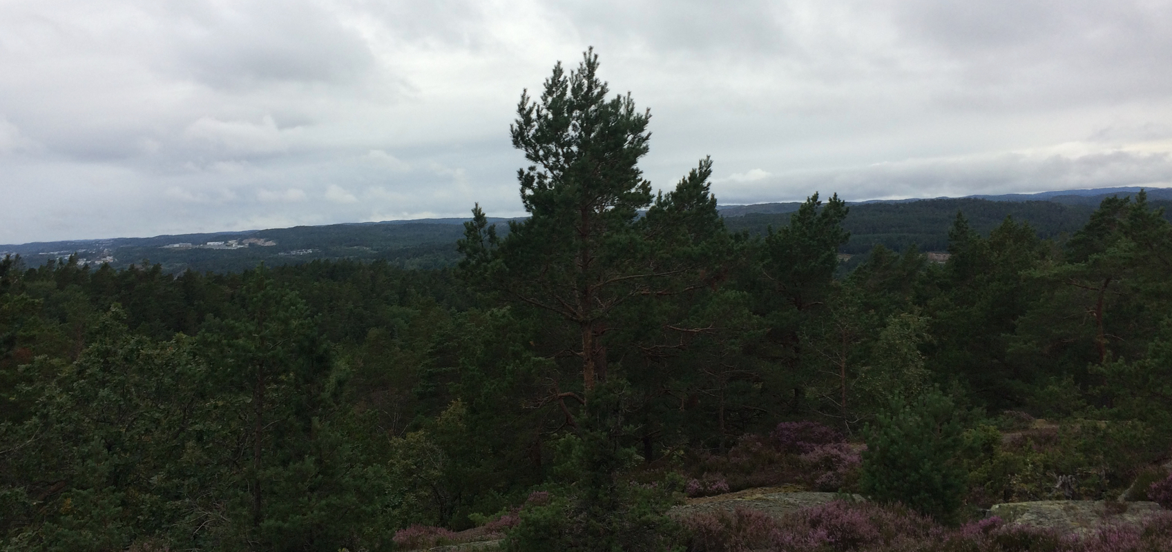
I then bush-walked to the summit following the forest road to its end
which was not an optimal route.
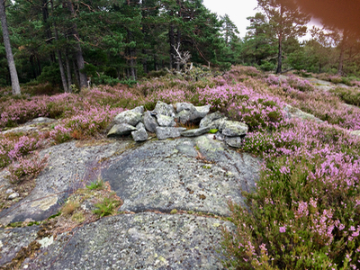
I arrived at the summit at 1855, picking a route back that was better
(walking below the bridge on E-18), but getting wet feet in a meadow.
Back at 1915, just in time to travel back to Grimstad, check into
my hotel and proceed to the pre-booked dinner downtown.
When writing this report, I see that Peakbook is inaccurate. The elevation
is 111 meter, not 112, the saddle is between 10 and 15 meter, so it is possible,
but unlikely that this top has prominence of 100 meter. The standard estimate
is 98 meter.