Location: North 59.97060, East 010.42146 (GPS on the summit)
Difficulty: YDS class 1
Climbed: October 20. 2021
Information:
How to get there:
The best access is from Lommedalen. Drive the main road into Lommedalen,
then be aware as you need to make a sharp left onto a smaller road
in order to find the trailhead. This left turn is at location
N59.96702, E10.47258. (Use Google!). Turn right shortly, you will then see
a small parking next to a gated road that forks left. Park here, location
N59.96875, E010.46429, elevation near 180 meter.
Route description:
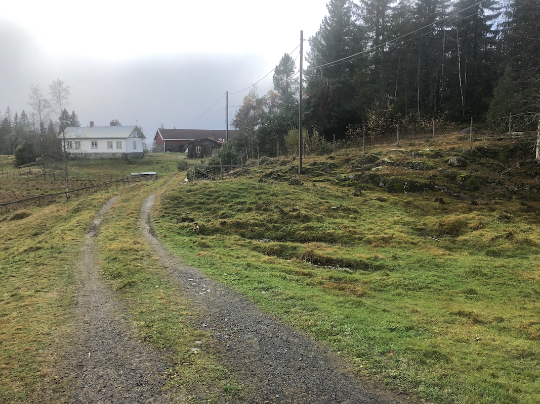
Walk past the gate and follow this road until you get to
a 3-way fork. Continue uphill on the middle road. Follow this
until it ends at the farm Rognliåsen.
(Keep right shortly
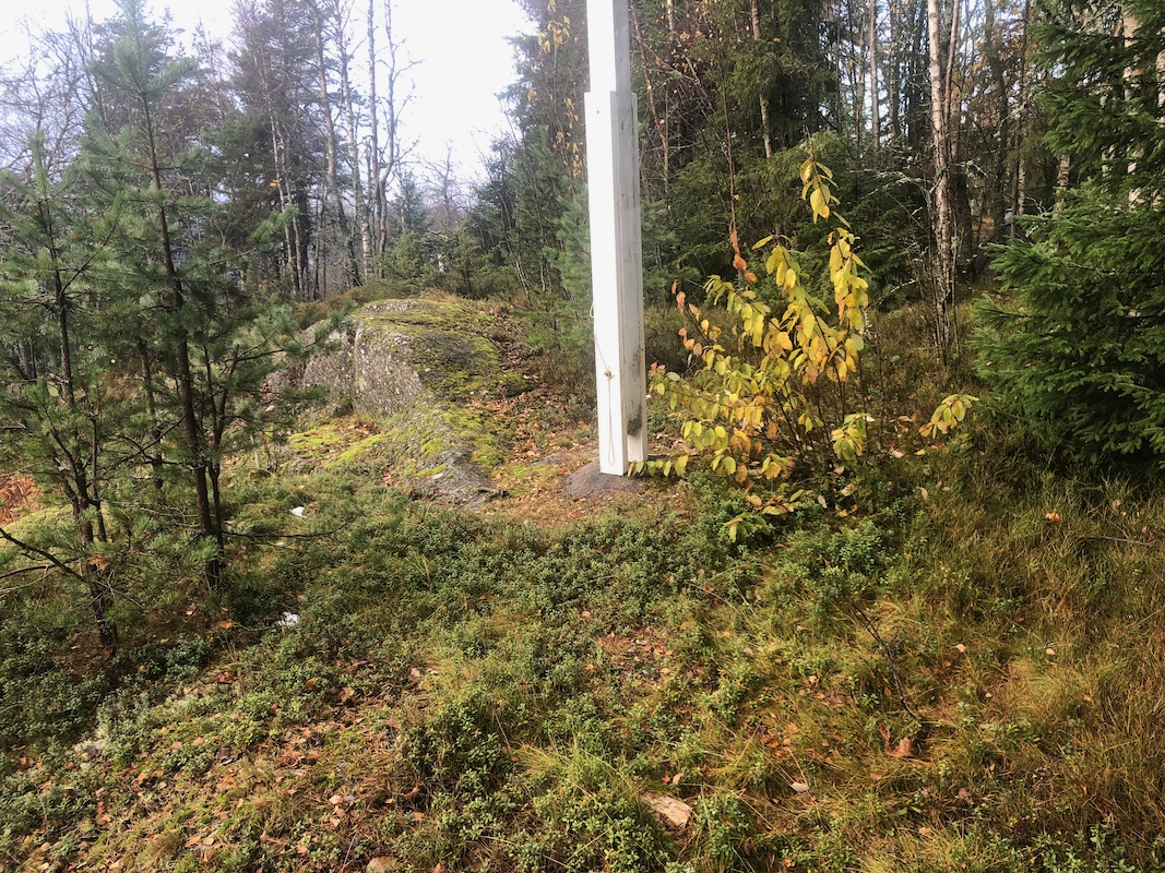
before the road ends.) The highest point
is located near a flag pole
on the north side of the buildings.
Comments:
I was staying with my sister Elisabeth who lives in the lower part
of the Lommedalen valley. This hill is one of only 3 with prominence
exceeding 100 meter in the municipality of Bærum. As I had visited
the other 2 numerous times when growing up, this seemed like a good project
on a cloudy Wednesday.
I left my car at 1425. It took me 40 minutes to walk the 4 kilometer to
the summit. I jogged back down in 30.
