Location: North 60.76495, East 005.51232 (GPS on the summit)
Difficulty: YDS class 2
Climbed: October 26. 2021
Information:
How to get there:
Drive E-39 north from Bergen. When you arrive in Romarheim, locate the road fork where Hwy. 569 goes right to Modalen.
Continue 2 kilometer further north on E-39. Locate a small fork signed for Stusdalen going left.
Take this road. You will arrive at the first house on your right.
You need to pay toll in order to continue this road. NOK 50 (in 2021), cash in a box.
Continue to the next house, the correct road is to turn left at the second fork, ie. you drive on the right hand side of the house below you.
Continue on this very nice dirt road in the valley, then uphill to a large parking area at location N60.76155, E005.57785, elevation about 350 meter.
It is possible to drive a little further, but this is not really recommended.
Route description:
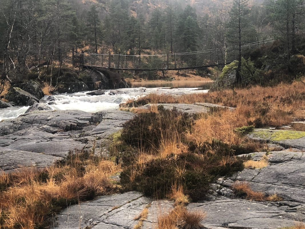
Continue on the road. Soon, the road crosses the river (no bridge), but a nice
pedestrain bridge is there. Continue along the road
on the west side of Østre Sætravatnet. Shortly, the trail forks uphill
to your left. A small ramp has been built to facilitate access to the old trail.
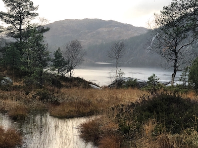
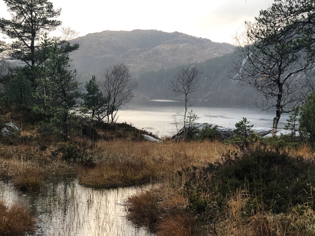
The trail next descends in order to cross to the south side of lake Tverrvatnet.
The Råsefjellet mountain
can be seen behind the end of the lake.
The trail is well marked and runs to Paddesætret, just south of lake
Grunnevatnet. There is a nice bridge
providing a safe crossing of the river.
Next, the trail climbs as it contours around the north side
of Råsefjellet. Follow the trail until it starts descending towards lake
Storevatnet. Leave the trail here and head
uphill (south) to the summit. Comments:
The forecast was rain, but it was about time to visit a mountain in Hordaland again.
I started at 0930, the weather was better than the forecast. However, water everywhere
and very slippery roots and rocks.
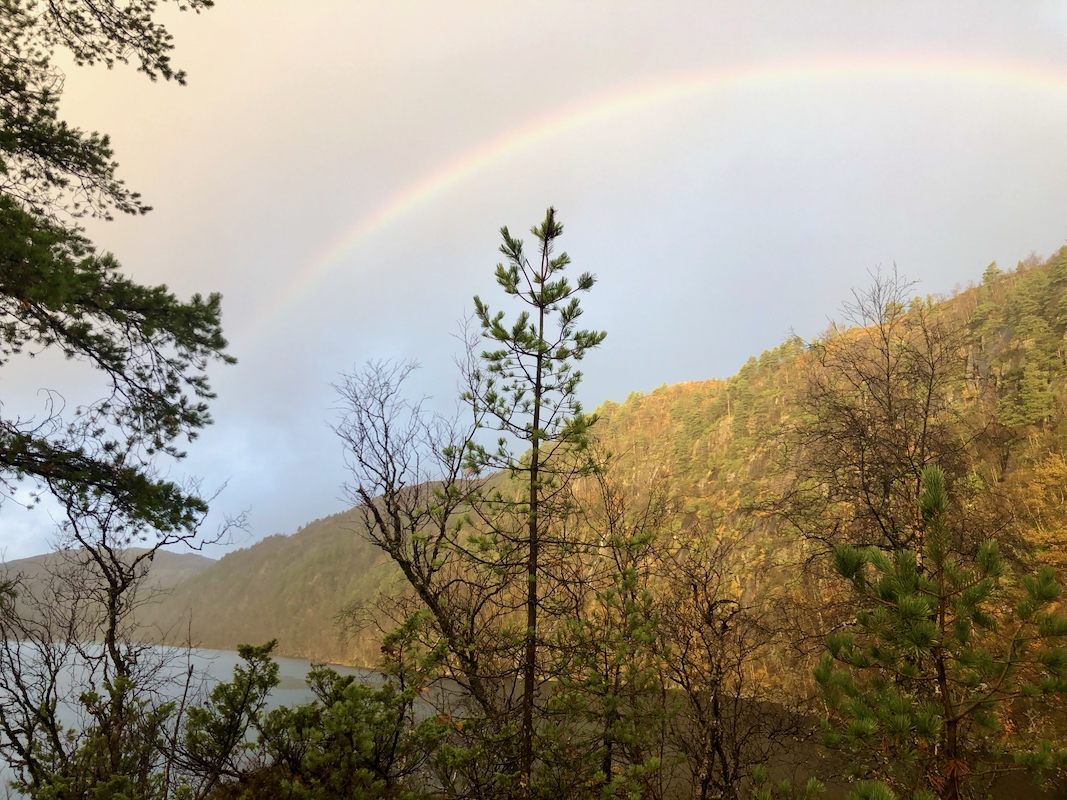
Soon, a rainbow spanned the sky, so the sun was
not totally gone. I arrived at the summit after 2:10. Fairly good views. I left
at 1145 and had a nice hike back to the car arriving there at 1340.
Resources:
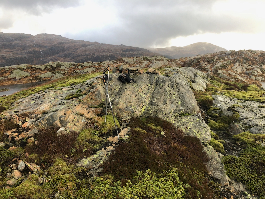
Images
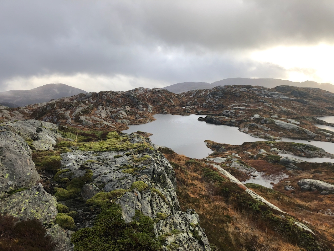
Summit view. A competing summit, only 0.4 meter lower can be seen.