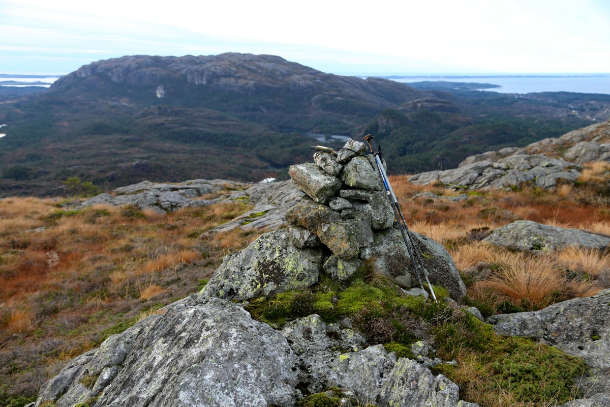
Location: North 60.58592 East 005.11841 (GPS at the summit)
Climbed November 22, 2014
Difficulty YDS class 2
Information:
How to get there:
From Bergen, drive north on E-39, cross the large floating bridge,
then immediately exit right and drive Hwy. 564 across the next
bridge, then immediately turn right onto Hwy. 245.
Pay attention as this road continues right in a road fork about
3.5 kilometer. Turn right here and continue along the north-east
side of the island. After a distinct downhill with a sharp curve,
continue uphill and pass a small farm house on its right side.
You will now see a cattle guard and a sign advising that the road
is private. Continue a few meter and park on the grass off the road
on the left side. Do not block access to any farm equipment. If there
are people in the house you just passed, then ask for permission to park.
This location is at N60.58920, E005.12532, elevation about 75 meter.
Route description:
Head up the grassy slope from the road, you will immediately find
a trail that heads uphill towards ruins/remains of an old stone fence.
Continue a short stretch, then there will be a trail fork. One trail
heads directly uphill from here, while another trail continues more
straight. Take the trail that continues straight. This trail will
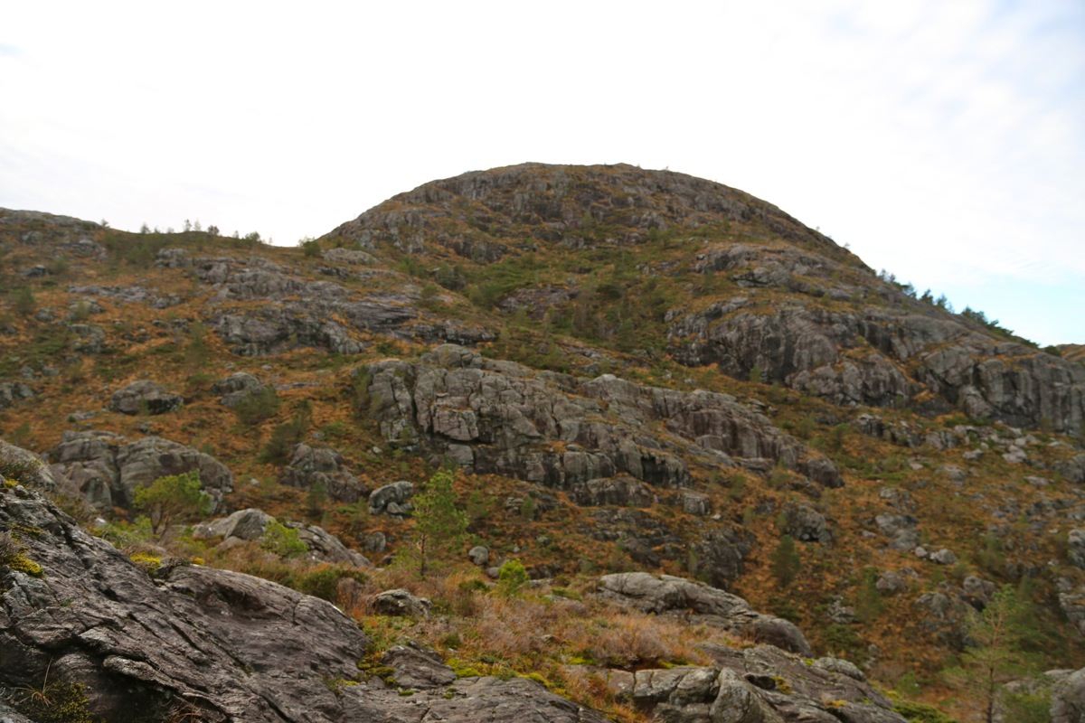
then turn left and head up the small valley north-east of
Øyjordsfjellet.
Continue uphill for a short while, then pick
a good route directly uphill towards the summit (up on your right
side). There is no trail and the terrain is fairly steep. It is not
hard to find some grass that zig-zags uphill between the rock.
Comments:
I left at 1315 and arrived at the summit at 1340.
Ascending, I ran into some steepish terrain (YDS class 3),
but avoided this on descent.
The return hike took only 15 minutes.
