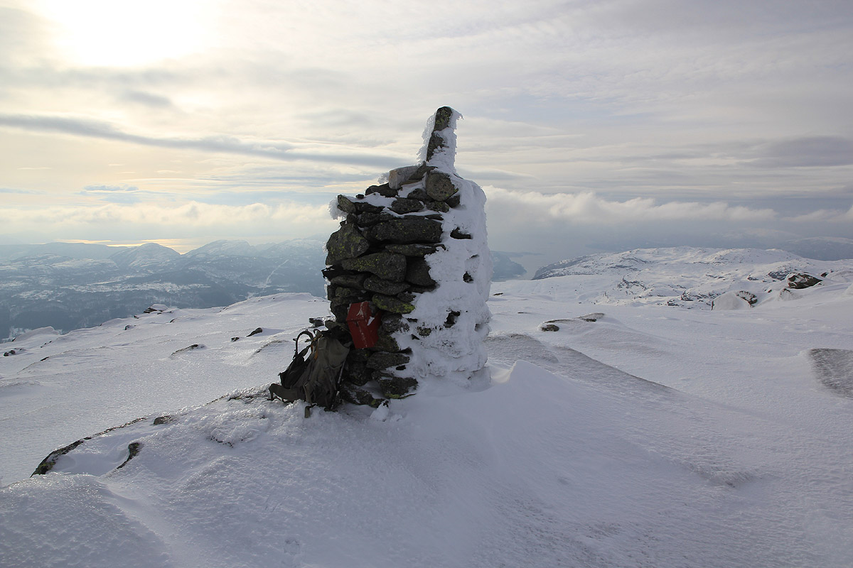
Location: North 60.28342, East 005.80090 (GPS at the summit)
Difficulty: (YDS) class 2.
Climbed February 16. 2013.
Information:
How to get there:
From Bergen, first drive to Eikelandsosen
(E-16 to Trengereid, Hwy. 7 Samnanger, then Hwy. 48 towards Mundheim.)
From Eikelandsosen, continue along Hwy. 48 about 5.2 kilometer, you should turn left
when you see the (white) school "Holdhus skule" (the name is on the building). This turn
has a sign for Tveita. measure from here. Keep right at 0.2 kilometer, and turn left at
0.4 kilometer, sign for Hammerland 3. Keep right at km 0.9, then continue straight on what
appears to be the main road until kilometer 2.8 where a self serve toll payment is located
on your right (sign: Bomveg). Pay NOK 40 (in 2013), then continue uphill to a large parking
area at kilometer 5.2. This is the trailhead, location N60.26260, E005.81701, elevation
about 340 meter.
This parking area serves a cross country skiing area, in particular also for training biathlon,
that is a combination of skiing and precision rifle shooting. A former world champion in this
sport lives nearby.
Route description:
Follow the big trail (big as a road), heading north west of Heilhillerhornet. There may be
signs for the summer trail, the local signs spell it Ottanasa.
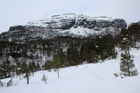
The mountain is directly ahead,
you should pass a small cabin at about 450 meter of elevation just before the terrain gets steeper.
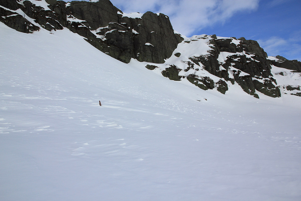
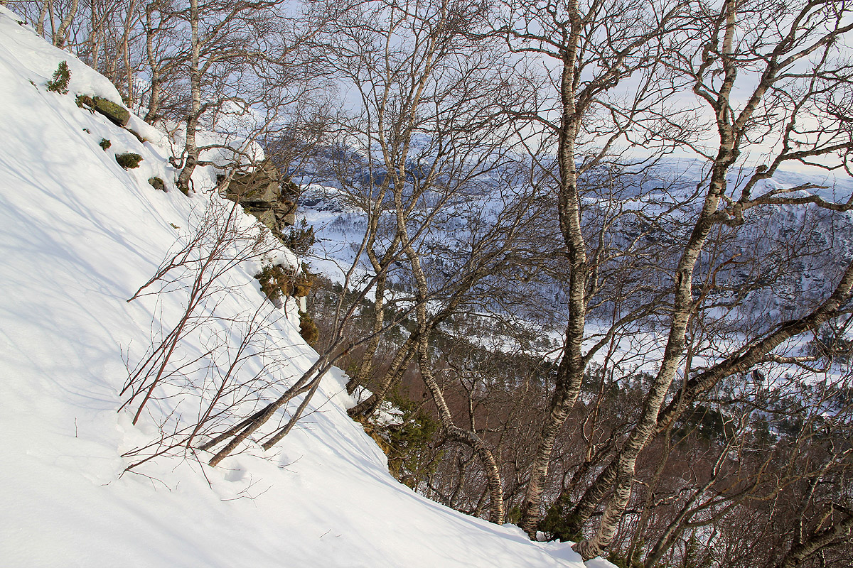
Continue uphill somewhat to your right, then more left in order to bypass the lower cliffs.
In summer trere is a trail and there may be red paint marking the path. Follow the ridge (left) and
head further uphill while gradually moving a bit right. You will see the last cliffs ahead.
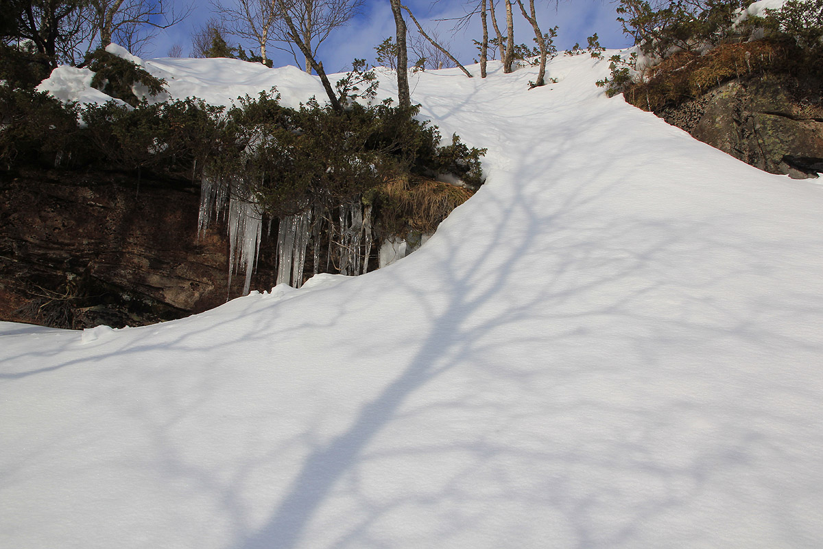
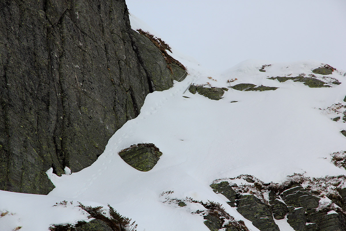
There is a short, steep slope that
runs up between steeper cliffs. In summer, there is a fixed rope
at least at the upper section. This is the "crux" of the route, in winter an ice axe and crampons may
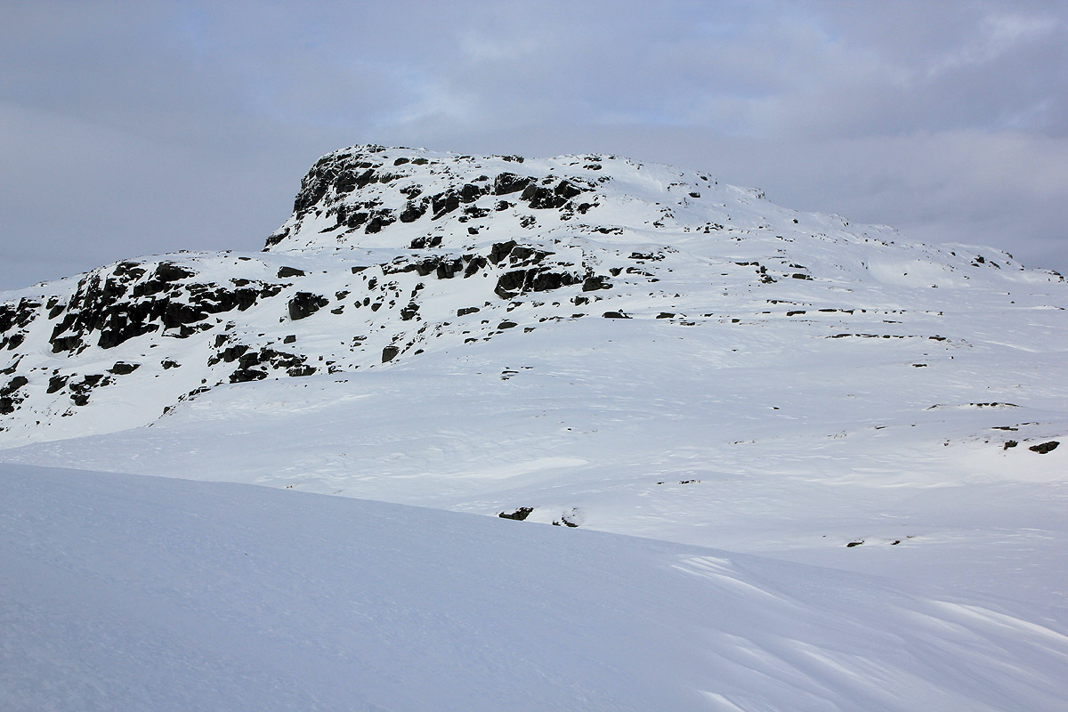
be needed. Higher up, you now see the summit
and two large cairns guiding the way. There is a last,
somewhat steeper slope, then easy terrain to the summit cairn. Comments:
The forecast was bad, however the weather looked quite reasonable. I parked at the
large parking shortly before 1100, then changed to mountain clothing. This mountain
looked steepish
on the map and I assumed that I would not be able to ski more than to its base.
Leaving around 1115, I skied the nicely groomed tracks. This is the local skiing area and many
well known (female) biathelon skiers have trained here.
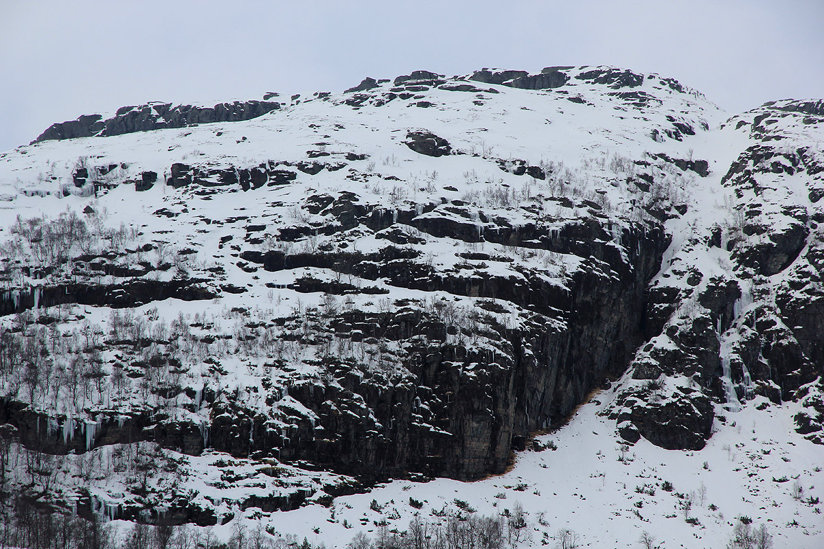
Getting close to the base, I spotted several cliffs and generally steep terrain. I left my skis,
changed to light weight Scarpa boots and started the cumbersome climb.
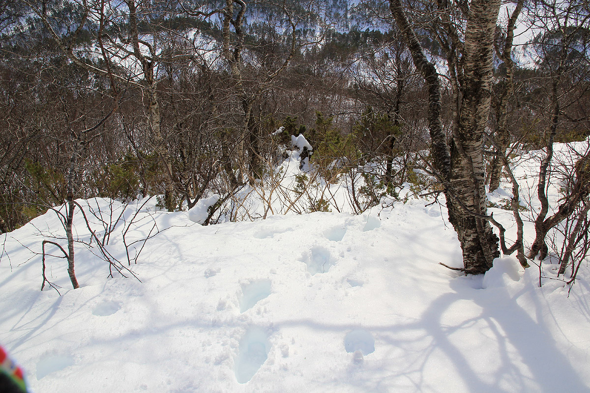
The snow was roughly knee deep,
hard work in a steep hill.
The passage up and above of
the treeline was easy by searching left. I continued
up along a small ridge, then headed up to the next cliffs.
I spotted a steep snow slope that looked promising,
providing access to the terrain above. It was very hard crust and my ice axe had to cut steps, the upper section
had a fixed rope partially buried. Obviously, I was on the summer route. Above this crux point, the going got easier,
but a final snow slope remained. It was icy and my crampons had to come out of the backpack. Shortly, I arrived
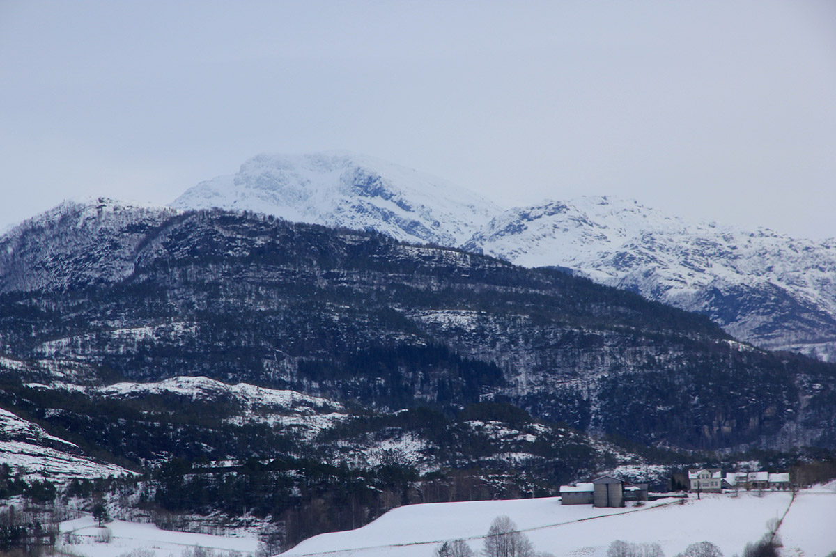
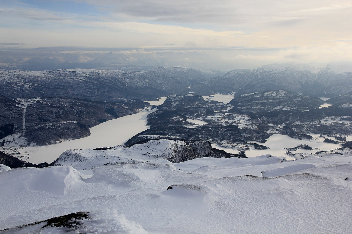
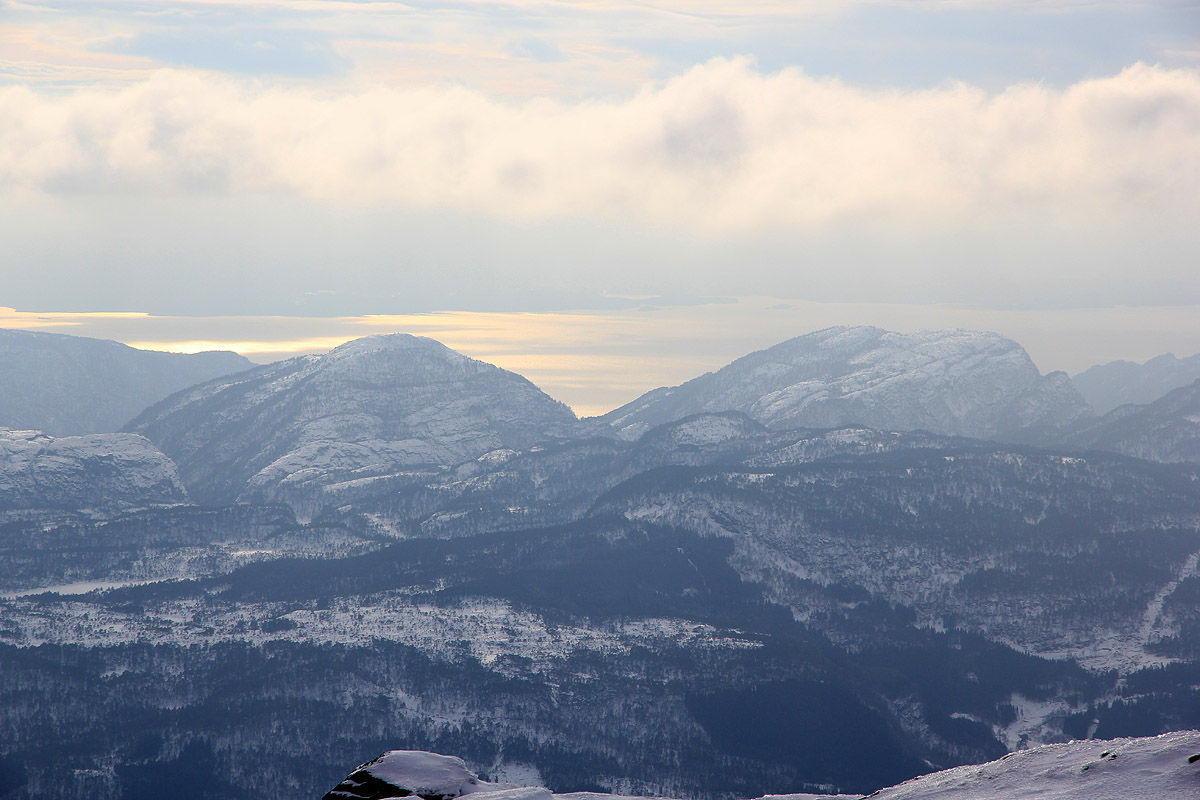
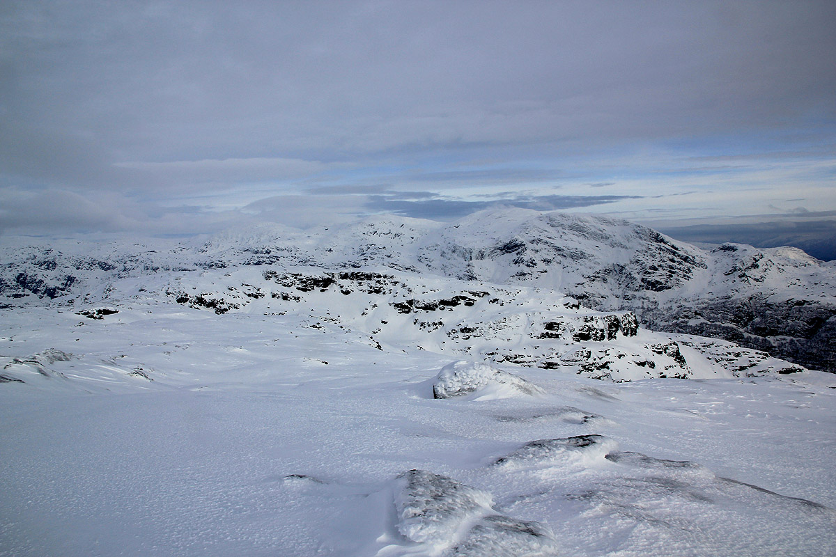
at the summit around 1355. Good view, despite the clouds. I took some pictures of the neighbor mountain,
Gjønakvitingen, as well as down to the lakes and also the view out to the fjord.
Leaving at 1405, going down and stepping in my old tracks was easy. I kept the crampons until below the crux slope,
then easily back down to my skis. Another change of boots and I was soon back at the parking.
When I came driving, there was no envelopes to pay for the toll road. I told a local at the parking and
by the time I drove down this had been taken care of. I paid my toll, then drove onwards. My next goal
would be Dalstuva, the high point on the island Reksteren.