Location: North 59.98572, East 005.76964 (GPS at the summit)
Climbed November 26. 2016
Difficulty: YDS class 2
Information:
How to get there:
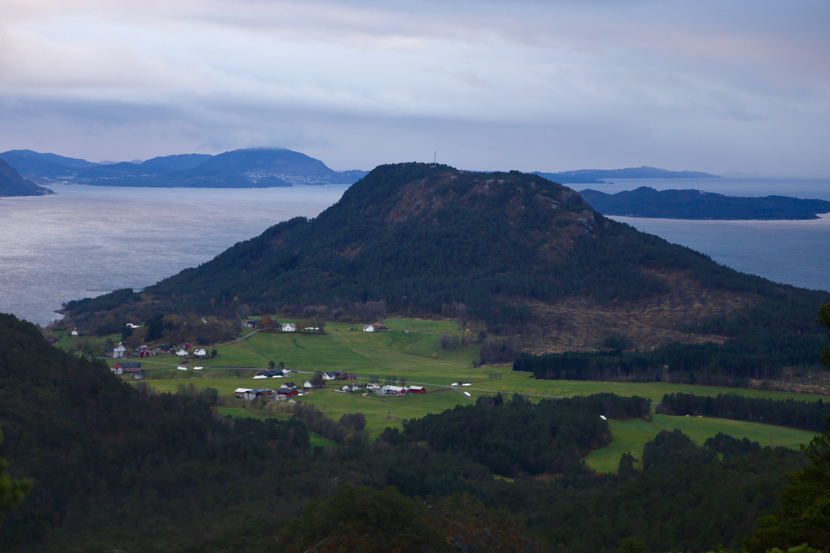
This mountain is located far south near Fusa and Tysnes, the municipality is actually Kvinnherrad
One may drive Hwy. 549 and Hwy. 121 south from the intersection with Hwy. 48 in Kilen, however,
the easiest approach is to drive from Våge on the island Tertnes. (You can get
to Våge by ferry from Halhjem in Os.)
From Våge, drive Hwy. 49 towards Fusa, after crossing the bridge that connects
Tysnes with the main land, continue through one tunnel.
Shortly after this tunnel, turn right towards Gjermundshamn, still on Hwy. 49.
Continue to the small community of Ølve, a white church on the right hand side of¨the road.
Turn sharply right immediately after this church and drive a few hundred meter on a small,
local road. locate parking on your left. This is a good trailhead, located at N59.99033, E005.78247,
elevation about 29 meter.
Route:
First continue along the road. The trail forks right after a short
distance. The trail is well marked.
Comments:
I left at 1410 and arrived at the summit at 1435 after walking uphill
with a good pace. Leaving at 1440, I had a pleasant walk back down, despite
some rain. Back at my car at 1510.
