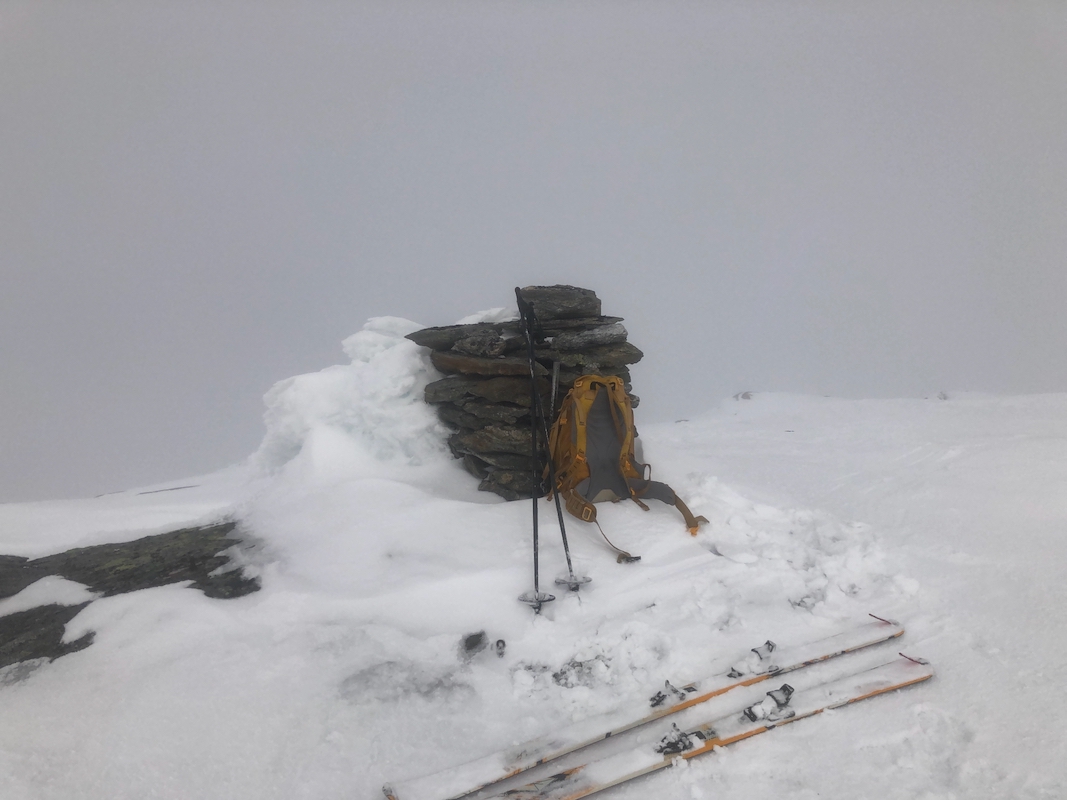
Location: North 66.26402, East 013.28695 (GPS on summit)
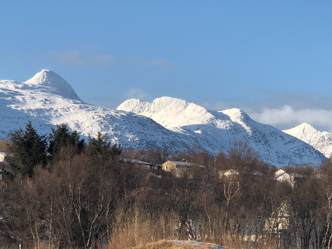
Helgeland, Norway
Difficulty, YDS class 2
Climbed on April 29. 2021
Information:
How to get there:
This mountain is located on the penisula having the small village of Nesna
at its tip. One may travel north from Sandnessjøen, then take a ferry
to Nesna, or drive towards Nesna from Mo i Rana. A good trailhead is a small
turnout/parking spot at location N66.29797, E013.36678, elevation near 320 meter.
This is immediately north of the mountain.
Route description:
A cliff band runs sort of parallel with the road a few hundred meters south.
Ski towards this, but move left (east) without loosing much elevation.
As you get close to the cliff, you may see old ski tracks, this is obviously a route
that is used by a few people. Traversing left immediately under the steep cliff,
you will arrive at a spot where a steep, but doable short snow slope extends to the top.
It is perhaps best to take your skis off and walk up this 10 meter stretch. On top,
after just a few meter, you will join what look like a more established route coming up the
ridge. (This indicates that there may be an even better trailhead slightly more downhill
along the road in the direction of Mo i Rana.
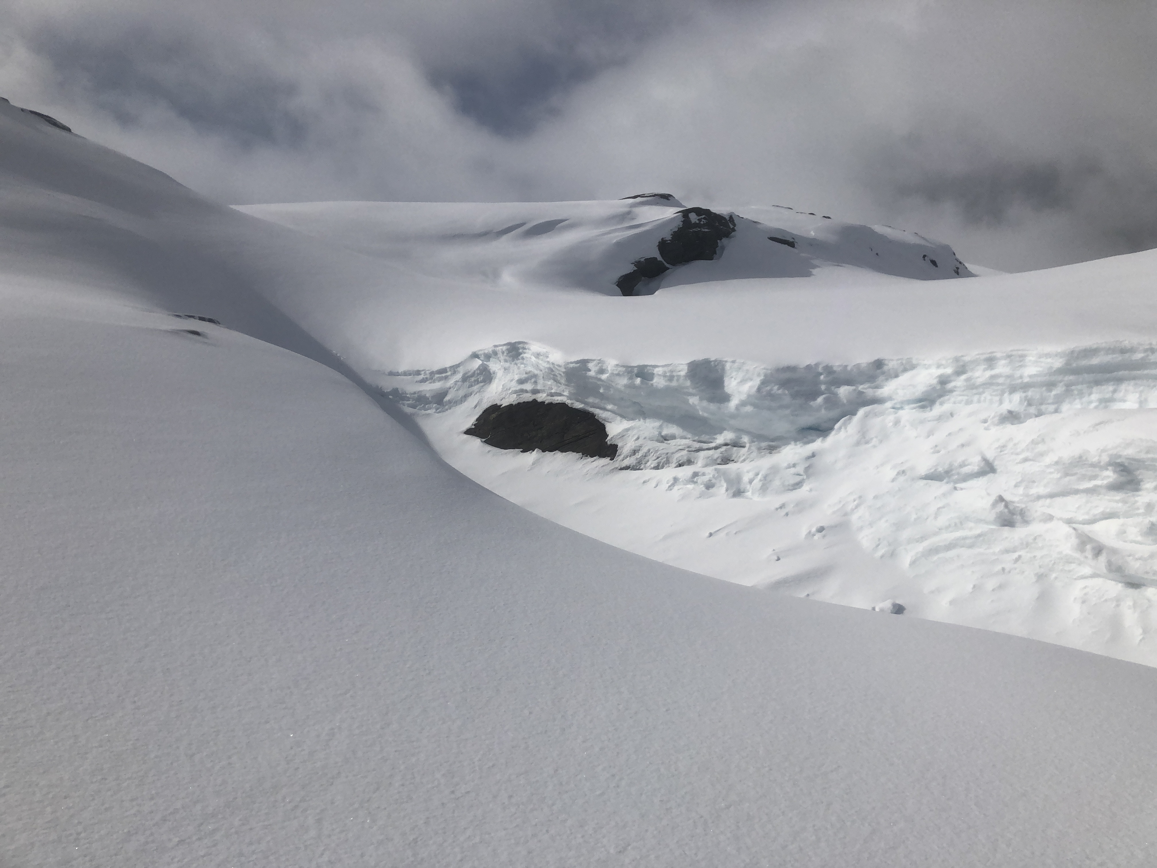
Continue to follow the ridge uphill, gradually it will connect to the terrain on your left.
The ascent continues as you move higher, there is minor descent in order to cross to
higher terrain, along this route. Cross a larger, fairly flat area, then connect to the
ridge that will lead all the way to the summit.
Comments:
Leaving Sandnessjøen, I took the ferry north to the small
community of Nesna. The weather
had looked good when I started from Sandnessjøen,, but
snow showers started to arrive and before soon all that remained were some
brief periods of sunshine in between longer periods with snow.
I left my car at 0900. The first part of this route is a bit complex and cumbersome,
possibly - it is better to start from a slightly lower trailhead and get more
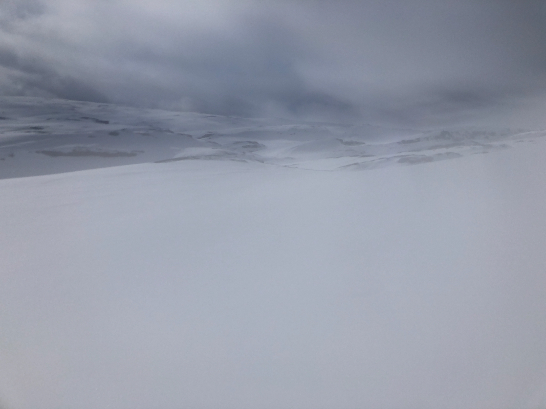
directly uphill along the ridge. The weather kept changing
and visibility was really
poor whan approaching the summit. I was there at 1220.
The return ski was easier -arriving back at my car by 1400.
