Location: North 60.88455, East 005.51018 (GPS on the mountain)
Difficulty: YDS class 1
Climbed June 16, 2013.
Information:
How to get there:
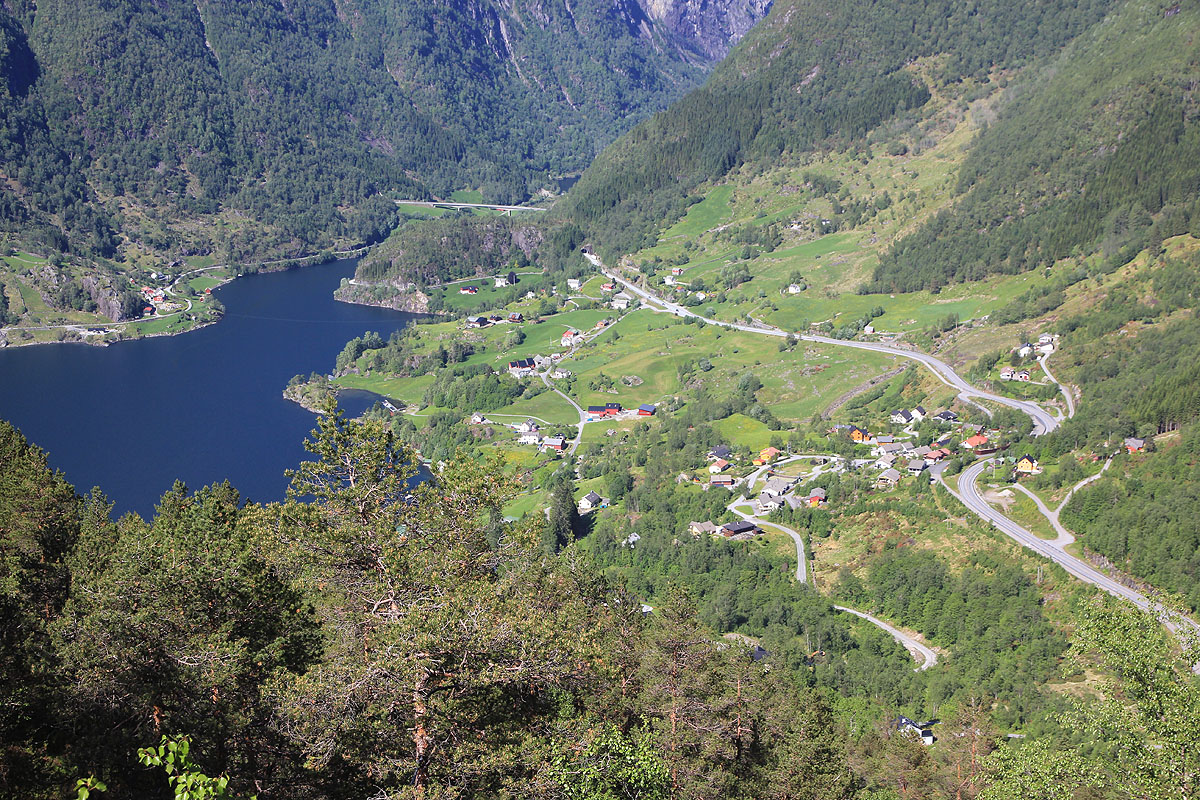
Drive north on E-39 from Bergen. The trailhead is 60 kilometer north
of Knarvik. (Knarvik is the village just north of
Bergen after you cross the fjord via two large bridges.) The trailhead
is easy to find, turn left at a Statoil gas station and a Joker grocery store.
This is just before the small community Haugsvær.
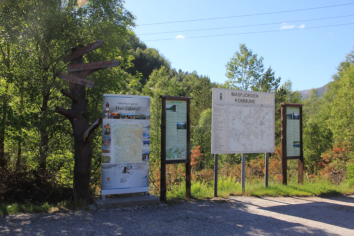
There are information signs behind
(on the right hand side) of the store.
Park near the store, location N60.89716, E005.51911, elevation about 160 meter.
Route description:
Locate the forest road that is behind the Joker grocery store. This road crosses the
creek and heads uphill bearing left. Very soon, there is a road fork. Take the
right fork. Next, this road leads to a local highest point (of the road) just below some power lines.
Here, the trail leaves the road going left and uphill under the power line. There is
a sign pointing uphill.
The trail is marked with small red wooden sticks hanging from trees. It runs uphill, then
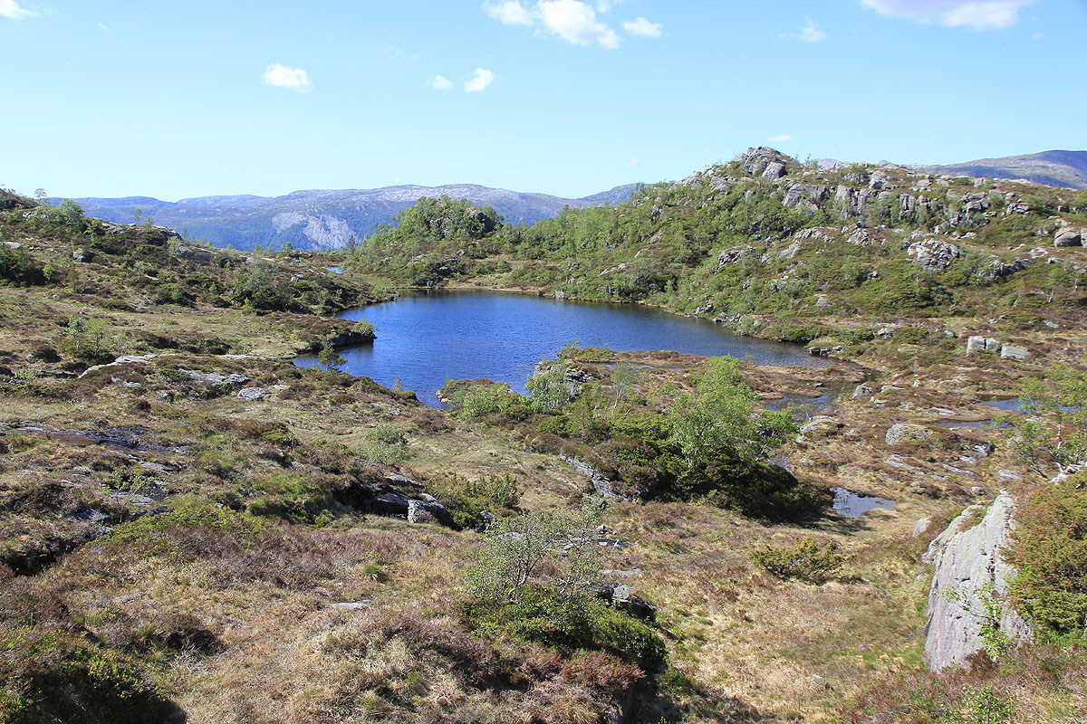
traverses a bit on the left in order to bypass a false summit. Next, the trail crosses a small
creek that drains a small lake located
north of the summit. This is a good waypoint as the trail
is less distinct on its final approach. The summit will be up to your right as you
continue the trail a bit further.
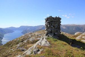
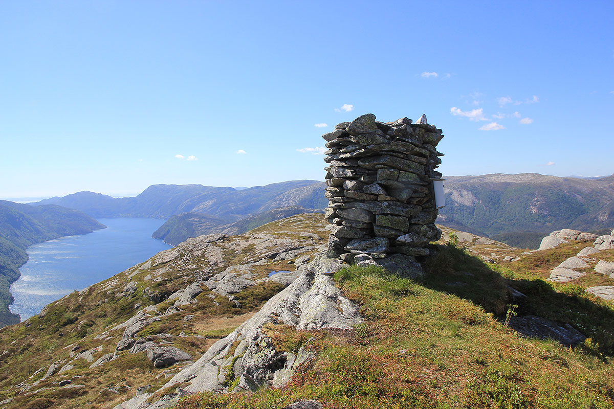
There is a nice, big cairn with a summit register on the top.
Comments:
I had been on Blåfjellet, but there was still
time and the weather was just great.
Thus, I continued a few more kilometer along E-39 and parked next to the Joker grocery store.
I started hiking at 1510 and made the summit by 1600. The trail was nice and easy to follow,
at least until well after it crossed the small creek. I had a
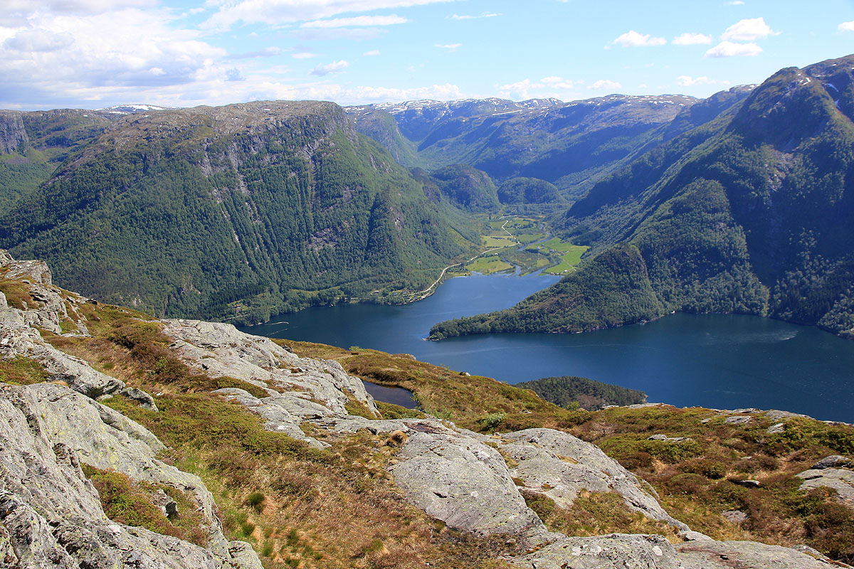
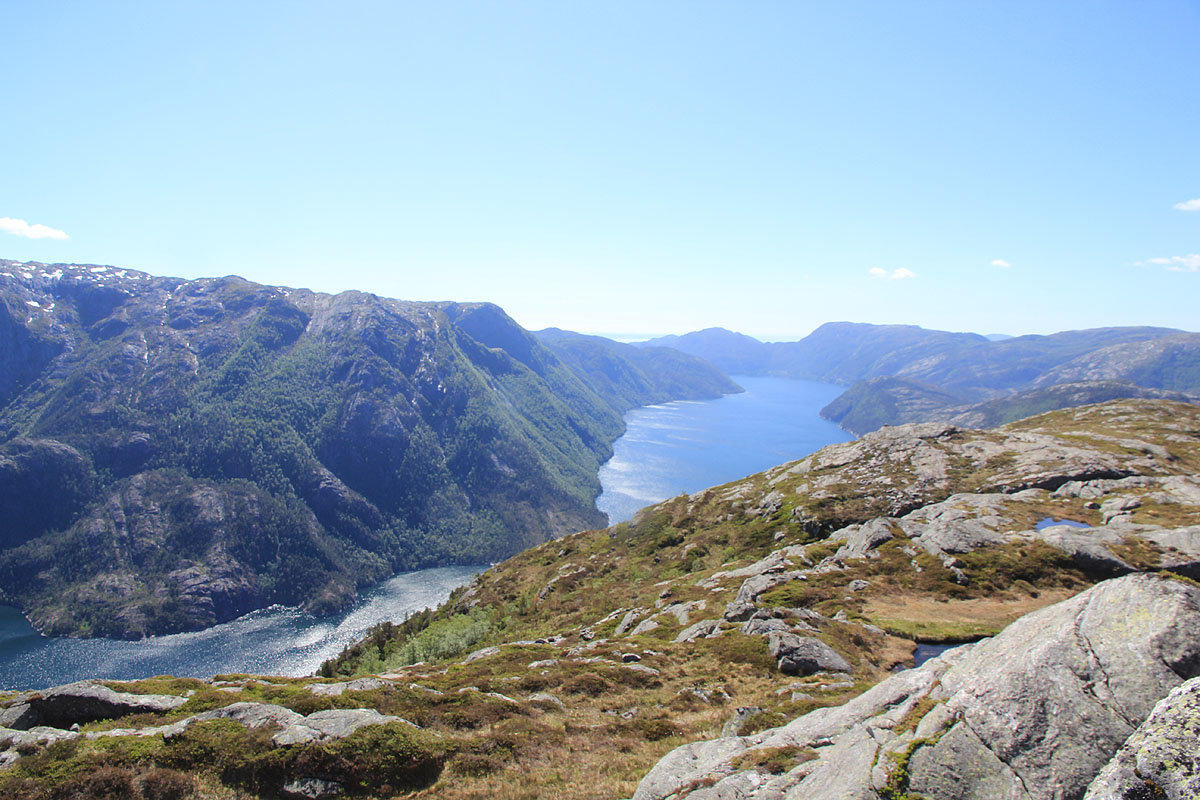
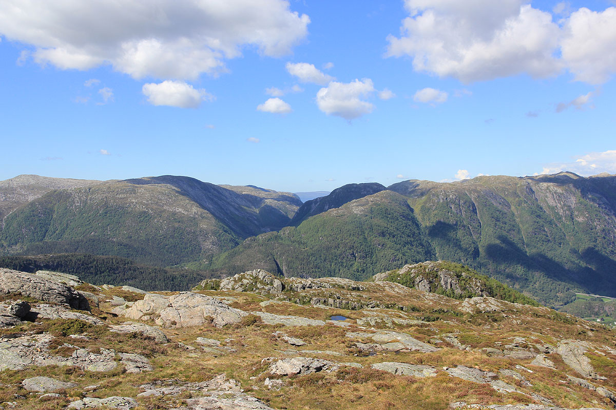
good time and the view from up
here is quite good.
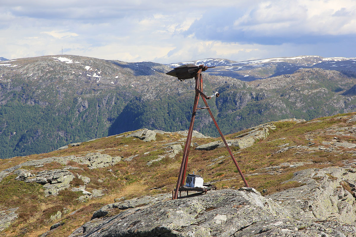
There is a rather strange instrument nearby
on top of a separate structure. It would be nice
to know what purpose this served.
After a 10 minute break, I descended more directly
towards the small lake, then followed the drainage
down to recover the trail. I was back at my car by 1650.
Resources:
Images
The bridge guiding E-39 to its last tunnel before Sogn og Fjordane.