Location: North 60.69077, East 005.90829 (GPS at the summit).
Vaksdal, Norway
Difficulty, YDS class 2
Climbed on October 24. 2020
Information:
How to get there:
Drive E-16 from Bergen.
Continue E-16 past Trengereid towards Voss. Continue passing Dale, turn left at
Bolstadøyri. There are two exits, the first is signed, a left turn immediately
after you pass under a small bridge. Continue along a more narrow road to locate
the signed road, 10 kilometer to Øvstedalen. Follow this nice dirt road as it climbs across
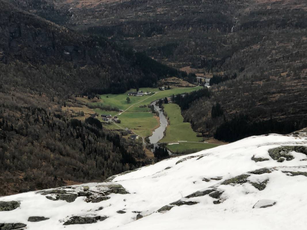
a saddle then descends into Øvstedalen. There is parking on your left just after
crossing the river. This location is N60.68831, E005.96036, elevation about 320 meter.
Route description:
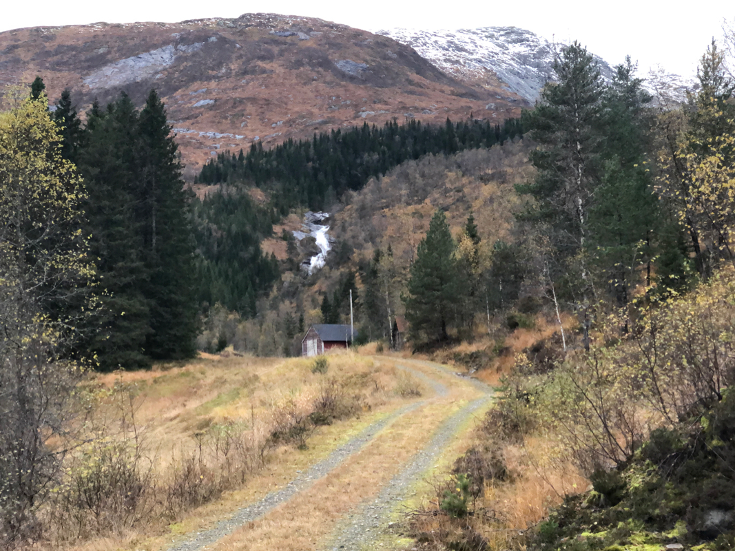
Walk the small road stub towards
Tverrdalen, you see the river coming down from Tverrdalen
straight ahead. There is a faint trail heading uphill on the right hand side of the river.
The trail msy be difficult to follow in a few places, but the terrain is easy going uphill here.
Continue to location N60.69011, E005.93712, elevation about 510 meter.
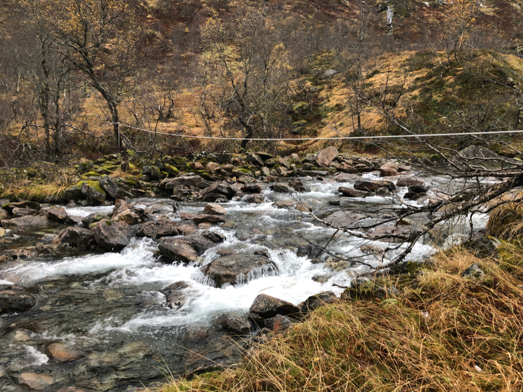
You should see a rope across the river here.
This is a good spot to cross.
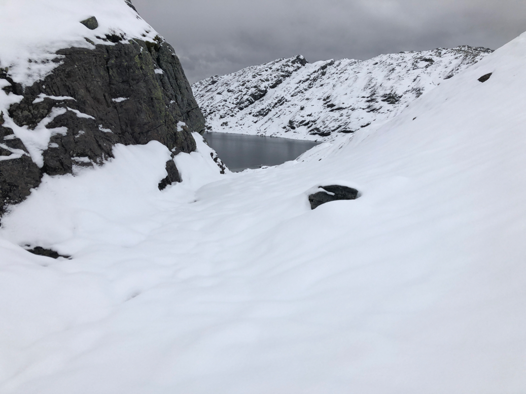
Ascend along the left side of the river to lake 781, Tverrdalstjørni, then onwards to
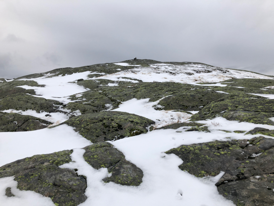
the summit. An alternative is to exit the valley along a small stream and ascend towards point 898m.
From here, one may follow the somewhat rough, but wide ridge east of Rjupetjørni to
the summit.
Comments:
I left Bergen pretty late and arrived at the trailhead about 10 minutes after 12 noon.
I needed to change, then left at 1220.
Easy walking up along the river. The only
issue was that one needs to cross to the left side. After weeks of rain, this was
not completely trivial. After looking at a couple of places, I did find a sequence
of rocks that got my still dry to the left side. There was snow higher up
and the slope further ahead looked slippery. It looked better to just
ascend out of the valley before this would also be difficult. I ascended near
a downsloping cliff band reaching snow. The terrain was rocky and full of
minor cliffs. Most likely, quite easy without the snow. The snow quickly got
knee deep in some spots, a thinner layer, but slippery on many sections of rock.
Progress was slow as I needed to be careful when putting my foot down, never knowing
how deep it would go.
I walked east of Rjupetjørni,
quite a few small ups and downs as I approached the final, rounded top.
Finally there after 2:15. Low clouds and minimal visibility. I left after
a brief stop. Going back in my own footsteps was quite a lot easier.
I descended to the river slightly higher in Tverrdalen and stumbled upon
a rope that had been put across. Obviously, this was a prepared crossing point.
Easy crossing here, then a short walk back down to the trailhead arriving there
at 1620.
