Location: North 60.79522, East 005.83491 (GPS at the summit)
Difficulty: YDS class 3
Climbed July 22, 2022
Information:
How to get there:
From Bergen, drive north on E-39. Note the road fork to Modalen (also signed to Dale),
this road going right has Hwy. number 569. Take this road and drive to Mo. Continue on the main
Hwy. signed for Dale, first a sharp right crossing the river, then another right in order to
drive towards the tunnel. When you see the tunnel, park on the left hand side just before
the tunnel entrance. This location is N60.81536, E005.83261, elevation about 28 meter.
Route description:
Walk back along the road (away from the tunnel), along the left hand side of the road.
After about 150 meter, you should locate several signs (in the ditch!) on the left pointing
up the hillside. The sign should read Mostølen. The distance is indicated to be 5 kilometer,
this is a bit pessimistic. Follow this trail. It is a bit vague in the beginning, then very clear as
it zig-zags steeply up the hill with a sprouce forest. Higher up, the trail is more vague again, but
pretty well marked by blue paint. It follows the terrain and runs near the steeper drop on your
right. Pretty good views across the valley.
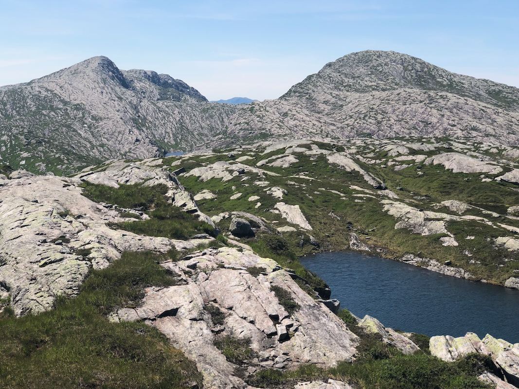
When the trail breaks out of the (bigger) trees, leave it (going left) and head more directly
uphill in order to reach the broad saddle on the east side of XXX. Locate a slope that has
continuous vegetation on your left and ascend steeply to reach the main plateau of
Nipekråni. Continue across this plateau to locate the highest point. The terrain has
many small cliffs and longish ponds of water all trying to block your way. A fairly direct
line may involve some easy (YDS) class 3 scrambling. Making somewhat longer zig-zag (detours)
can keep the difficulty at class 2.
Comments:
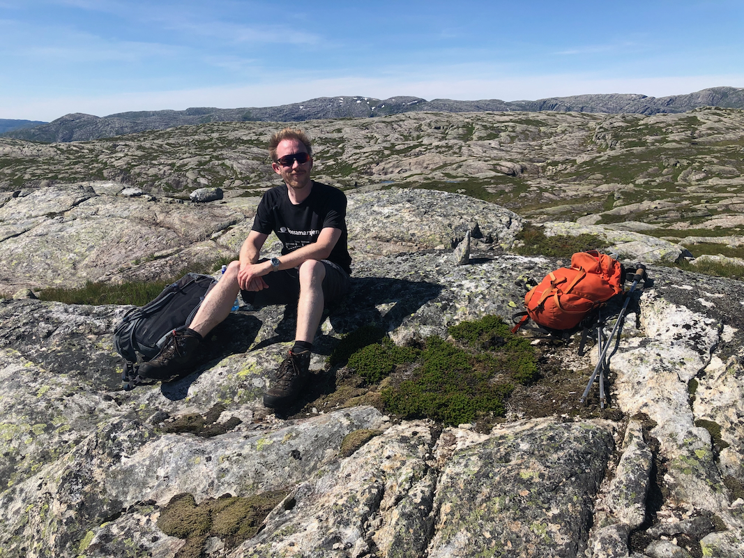
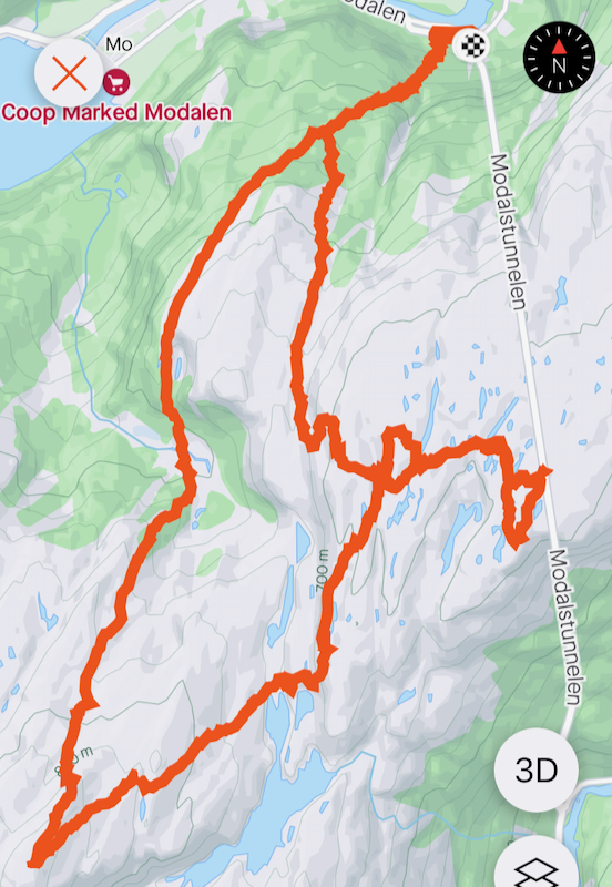
I did this climb with my friend Harald. We first visited Hornafjellet.
The route described above is our route of descent. We left Hornafjellet summit around 1215 and
traversed across to a first possible summit point, getting there
(N60.79980, E005.82470) around 1330. From there, we continued across the somewhat complex
terrain to the summit marked on the map. This is location
N60.79795, E005.83749. From there, we observed a point that looked higher further south.
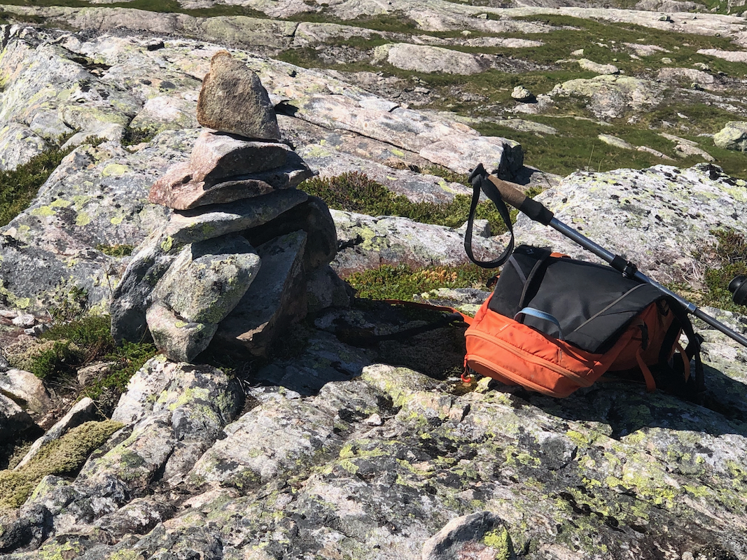
Arriving there (N60.79522, E005.83491) at
1410, we built a small cairn. Laser data (Hoydedata.no)
confirms that this is the highest point.
Leaving at 1415, we followed the route described above and were back at the car around 1615.
