Location: North 60.63769, East 005.60658 (GPS on the summit)
Difficulty: YDS class 1
Climbed December 1, 2013.
Information:
How to get there:
From Bergen, drive E-16 to the Osterøy bridge. Continue to
Fotlandsvåg, then onwards to the small place named Tysso.
Measure from the bridge in the middle of Tysso. Continue 1.1 kilometer
where you locate parking on the left hand side of the road.
Park here, this trailhead is located at N60.62575, E005.60170, elevation
about 100 meter.
Route description:
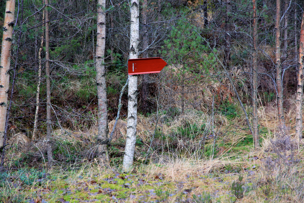
Right next to the road, a red sign indicates the beginning of the
trail. This trail is easy to follow and it has several places where
hiking has been facilitated by man made improvements. The trial is marked
by blue markers. Soon, you will arrive at a local col where the blue
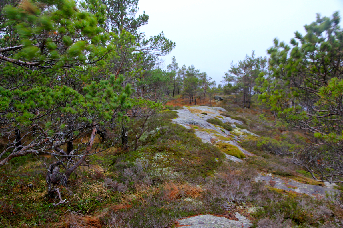
marked trail turns left. Instead, go right here. There is an (unmarked) trail
that stays
on the ridge and leads across easy terrain
to the summit. Comments:
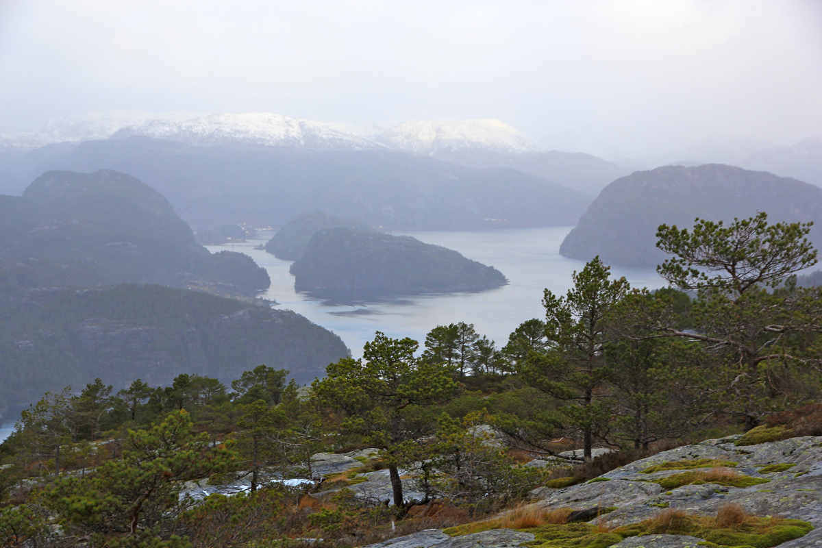
I started this hike at 1200 and arrived at a nice summit point by 1230.
The weather was still windy after a storm last night.
The view was nice
despite a bit unsettled weather.
Leaving at 1240, I was back down at my car at 1300.
