Location: North 60.67839, East 005.74389 (GPS at the summit).
Vaksdal, Norway
Difficulty, YDS class 1
Climbed on November 1. 2020
Information:
How to get there:
Drive E-16 from Bergen.
Continue E-16 past Trengereid towards Voss. Continue passing Dale, but then turn
left at Dalseid, onto Hwy. 569, signed for Romarheim.
The road crosses the fjord at Straume and continues to the small community Stamnes.
The road curves left, you pass a small (private) bridge that crosses left, take the
second road right, it should be named Stamnesvegen. Parking is a problem near the
trailhead, there may be space for one or two cars. There is a better place to park
about 150 meter up the road on your right. This location is N60.66690, E005.75798,
elevation about 30 meter.
Route description:
Continue up the road, then turn right, the road climbs in a few turns before reaching
the trailhead at location N60.66818, E005.75689, elevation about 80 meter.
An old farm road forks left and uphill. Follow this road until you get to a signed
fork. First, one trail forks left, then another trail signed for Middagshaugen, forks right.
Take this trail, climbing uphill. The trail ascends in this steepish hillside, traversing
to reach a small valley with a creek. Cross and ascend into more gentle terrain with
wet meadows. The route circles around a small hill on the right before climbing the
final hill to reach Middagshaugen.
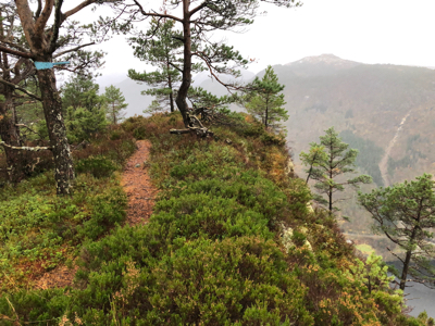
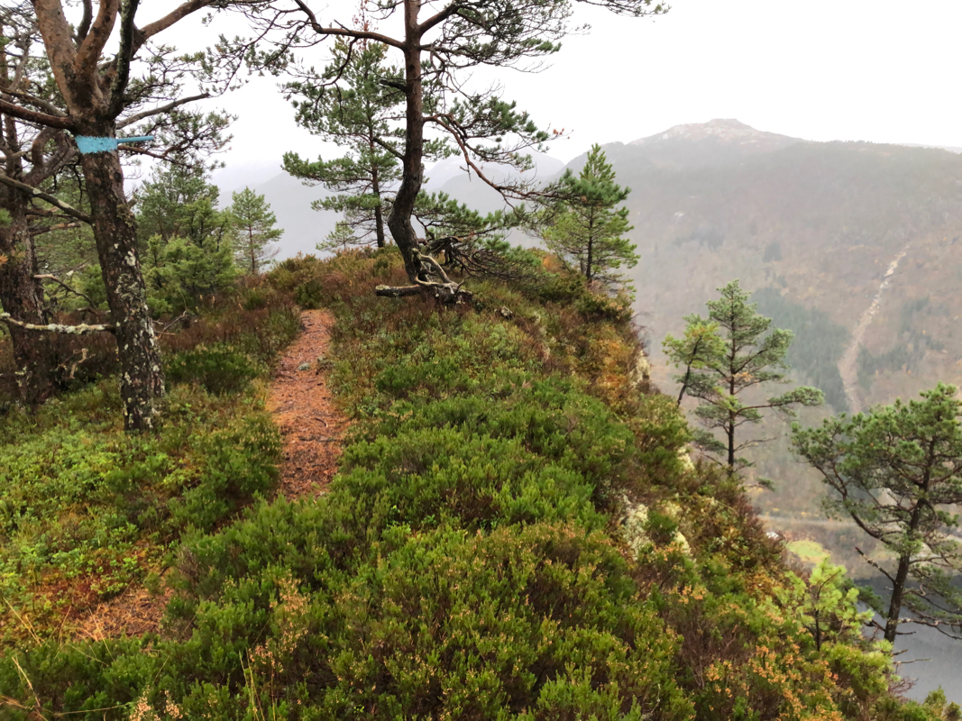
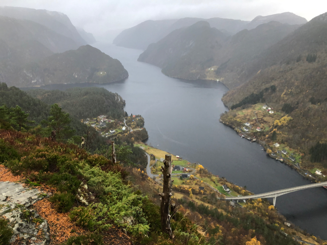
This is a fine viewpoint, the side facing the fjord
is almost vertical. The first viewing area has trail registers, however one must
continue along the cliff a bit more than 50 meter to reach the highest point.
Note:
There is an annual hill running competition from the Stamnes village to Middagshaugen
in August.
Comments:
This was my second hike of the day, I started at
1430. It had been raining on and off all day, the trail would be wet and
slippery. The trail is well marked and I arrived at the summit after 45
minutes. The highest point
is not marked and located a bit further along the cliff.
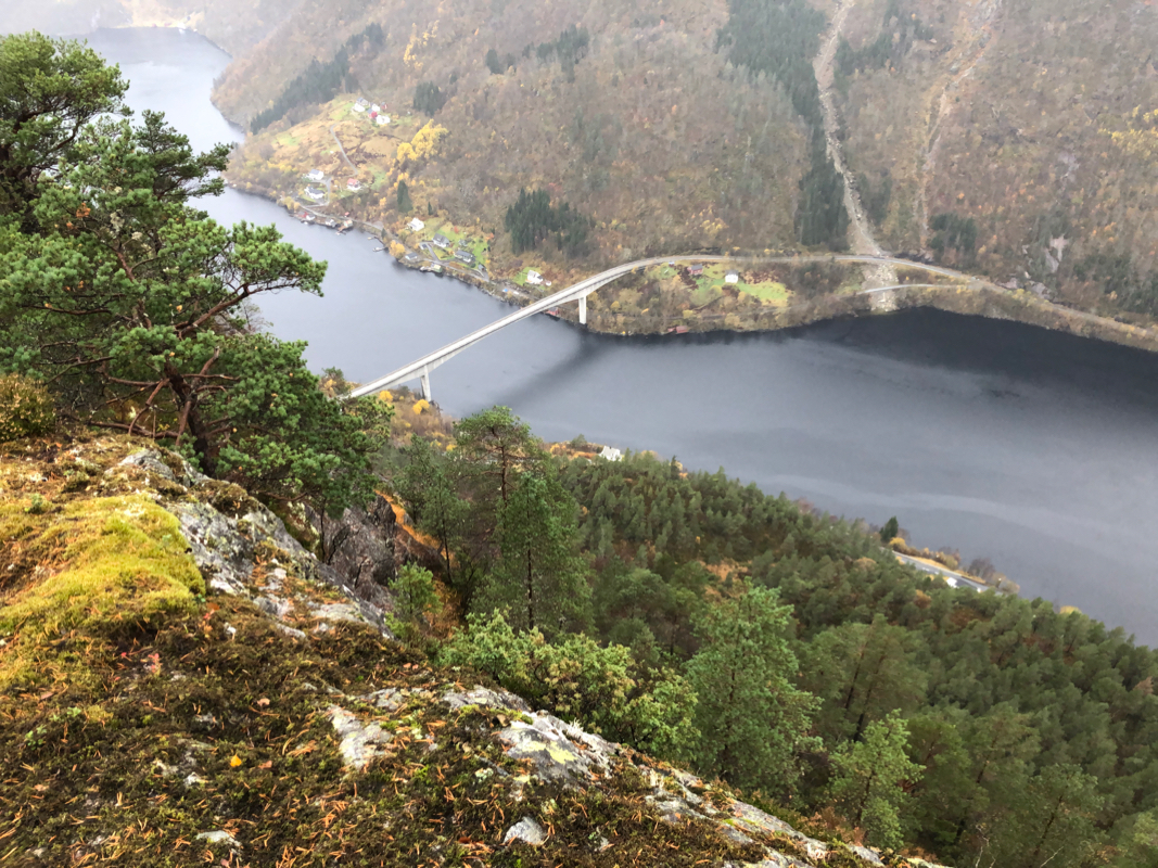
Very good views, one can see the fjord system on both sides of
Osterøy. Looking south to Stamnes,
one also can see how the fjord
extending towards Voss branches east.
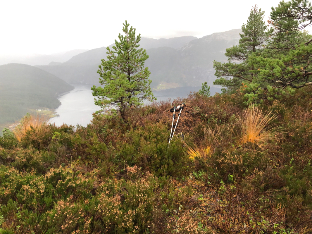
I spent about 10 minutes on top before returning. On the way back, I met
a young woman. She was local and wanted a hike before the day ended. It would
begin to get dark before she would be back.