How to get there:
A good point of reference is the small community Hosteland, located north
of Masfjorden. To get there from Bergen, drive north on E-39. Just before E-39
enters the 4 km long Eikefet tunnel, there is a choice of route. Forking left onto
Hwy. 570, then connect from Masfjordneset to Duesund by (cable) ferry. This is a scenic
option. Alternatively, continue on E-39 passing the two fingers of Masfjorden, then an
uphill tunnel to the intersection with Hwy. 571. Turn left here, descending on the north
side of Masfjorden to meet Hwy. 570 near Hosteland.
The third, and perhaps best way, is to use the ferry from Leirvåg. Turn left in the
very first traffic circle in Knarvik (immediately after the bridge), follow Hwy. 57 to
Leirvåg. This ferry leaves 15 minutes past the hour. The return ferry leaves
Sløvågen 15 minutes before the hour. The crossing takes 20 minutes. From
Sløvågen, you have 14 kilometer to reach Hosteland.
From Hosteland, take Hwy. 5436 north to Kvamsdalsvatnet. North of this lake, as the road
runs north, take the signed road right, the sign says Kvamsdalen.
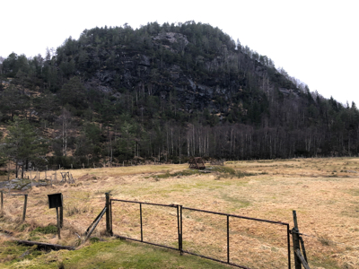
Cross a bridge across the river, turn left onto a small road. Find parking, ask if near
any house. I drove this road almost to its end near
location N60.8947677, E5.3094356, elevation about 85 meter.
Route description:
Follow the forest road until you locate an old bridge
that cross the small river going left. Continue
directly uphill to reach the broad shoulder extending south
below the summit. Follow various weak trails turning to the west (left)
side of the hill. Here, one may ascend without much difficulty.
Comments:
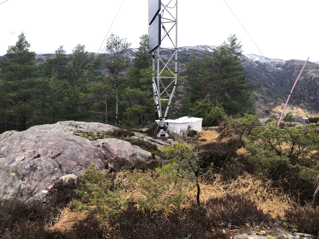
This was summit no. 6 (of 7), that I visited this day.
I left around 1530 and arrived at the summit around 1545.