Location: North 60.39349, East 006.24717 (GPS on the summit)
Climbed May 4. 2019
Difficulty: YDS class 2
Information:
How to get there:
Drive from Bergen to Trengereid, then Hwy. 7 to Norheimsund and onwards to
Øystese. Follow the road through Øystese, then the road
climbs steeply in a couple of curves. Drive to near the highest point
on this section of Hwy. 7, then fork left onto Melstveitvegen.
Fork right at the second opportunity, then continue uphill, roughly north,
to the farm Melstveit. One can drive a bit further to near the top of
a local hill and park at location N60.39107, E006.24849, elevation near
330 meter.
Route:
Follow a tractor road onwards as it descends, shortly branch left among big
trees and descend to the base of the next, fairly steep hillside.
Climb this generally traversing uphill and left, there are some small trails
that may be followed. Once up onto gentle terrain, head more right among the
trees to locate the highest point. There is no view - only forest.
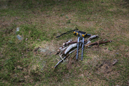
There is a marker of some sort
at or near the highest point.
Comments:
I visited this hill on my way home to Bergen. The hike from the car
to the summit takes about 10 minutes.