Location: North 60.73314, East 005.38703 (GPS at the summit).
Masfjorden, Norway
Difficulty, YDS class 1
Climbed on November 6. 2020
Information:
How to get there:
Drive E-39 north from Bergen. Just before entering the
long Eikefet tunnel, turn left (north) on Hwy. 570.
This mountain is on the left (sea) side of the road. It is
pretty obvious. Drive until a point from where the ridge starts, There
is parking for a few cars on right side of the road. This location
is N60.74137, E005.39709, elevation about 10 meter.
Route description:
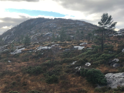
A clear trail starts directly across the road. Follow this trail
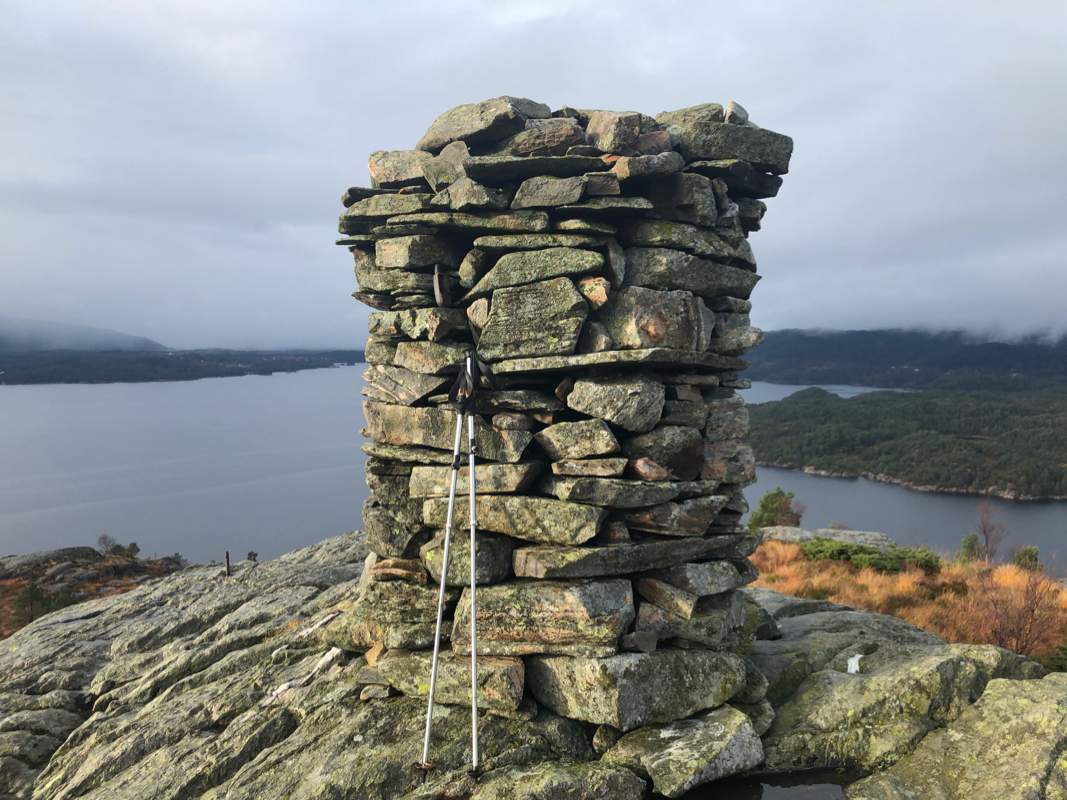
to the nice cairn on the summit.
Comments:
I left my car at 1145. The hike was nice, but the trail has many
sections of pretty smooth rock. The rescent rain had made some
of this extremely slippery. One may largely avoid the rock by walking
on the side. It took me 25 minutes to reach the summit.
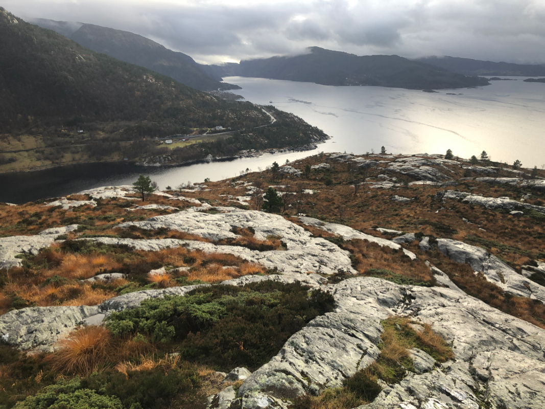
Nice views of the fjord.
After a short break there, I returned in
20 minutes to my car. My next goal for the day was
Kvamsfjellet.