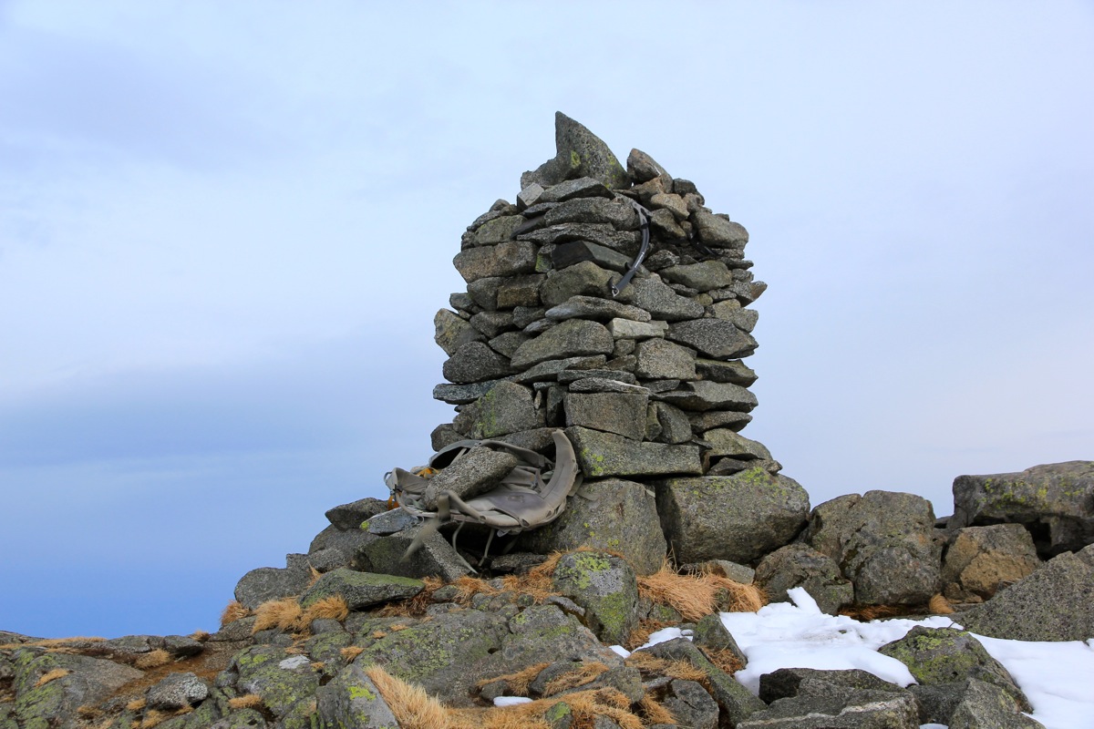
Location: North 59.97606, East 006.03840 (GPS at the summit)
Difficulty: (YDS) class 1 (winter: class 2)
Climbed April 14. 2013.
Information:
How to get there:
From Bergen, take E-16 to Trengereid, then Hwy. 7 towards Tysse, followed by Hwy. 48 all
the way to the ferry at Gjermundshavn. This ferry will take you across to Årsnes. Continue
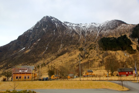
south along the fjord to the charming village of Rosendal. After crossing the river you will
notice Rosendal Fjordhotel on your right hand side.
Location N59.98148, E006.01095, elevation about 2 meter.
Route description:
Cross the main Hwy. from the hotel, go slightly left and locate a path (between two fences) that
heads uphill. There is a wooden sign for the mountain once you have walked about 20 meter.
Near some houses, this trail bends right (signed) and runs through a couple of gates. Continue
straight ahead as a road intersects. The route runs in the same direction towards the main west ridge
of the mountain. You will then notice that the trail leaves the small road you are on, going left through
another small gate. There are wooden signs here.
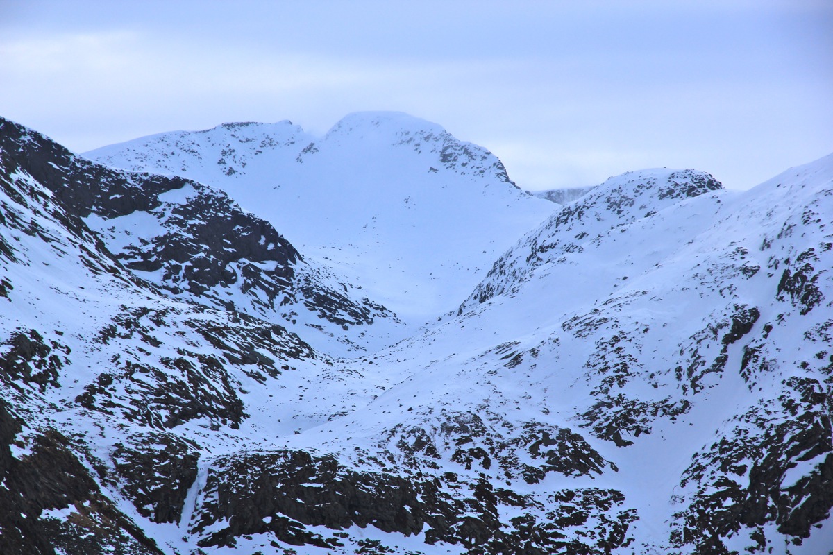
The trail now continues more steeply uphill with some bends here and there in the sprouce forest. Higher
up, there is a short side trail with the sign "Utsikt" (Viewpoint), while the main trail cuts more left (uphill)
at this point. After a short level area, the route now climbs the last bump on the ridge, somewhat on the
left side. This is the steepest section, but it is well marked and there is a trail all the way up as you
now cross through the highest part of the trees and then emerge out into more open mountain landscape.
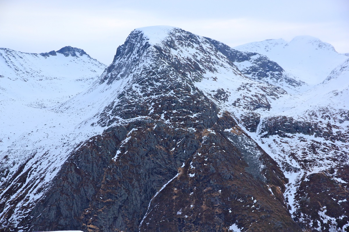
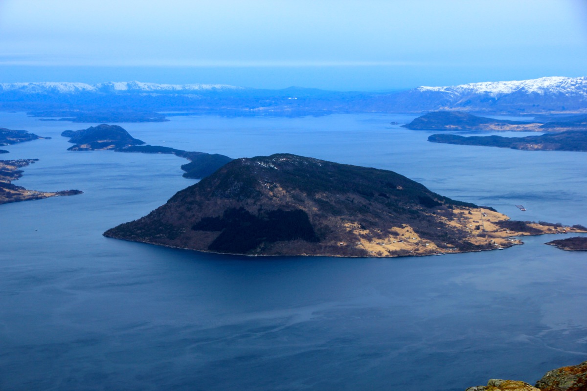
The view back down to Rosendal is very nice.
The ridge is followed a little more, then the route traverses more left and gains the last bit of elevation
before arriving at the summit with a big cairn. Comments:
A major storm was (correctly) forecasted for this Sunday. My plan was to dedicate
the day to inside - office work. However, noticing that the storm should
hit around 0900 and that a rather significant mountain, Malmangersnuten was directly
outside my hotel, I decided to do an early morning hike and return to the hotel for
breakfast.
I left the hotel at 0530, this was more or less first daylight. The hike was nice, a dry trail until
facing the last and steepest section. Here it was icy. I put on crampons, one would be able to negotiate
this peak without, but it is still much better to walk without any concerns for sliding. There were footprints
from a previous party, also using crampons. I arrived at the summit by 0705, so 1:35 up.
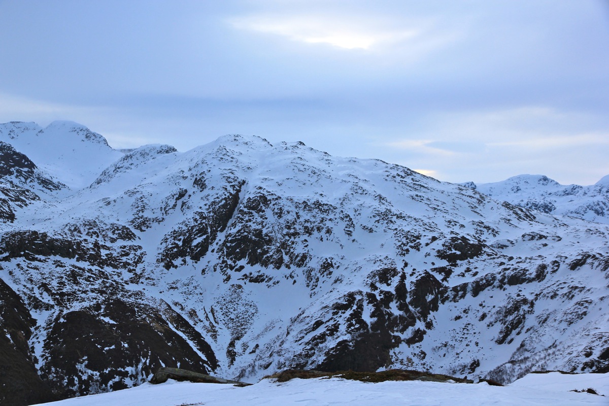
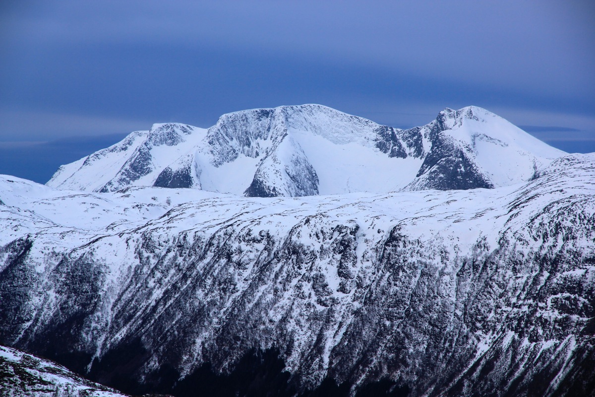
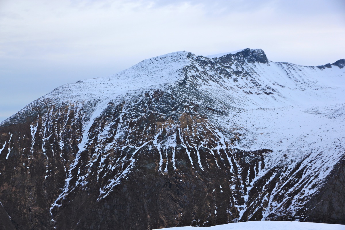
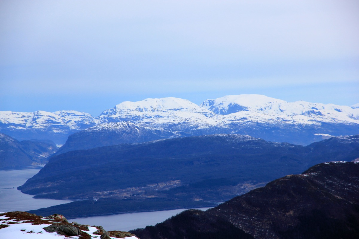
The view was
still good, but the sky out west, above Ulvanosa,
looked omnious, dark and threatening.
I signed the summit register, a party had been here
as recently as yesterday. Obviously, this is a popular hiking destination.
Soon, I noticed that the wind part of the storm had started to arrive. It picked up quickly and
made it difficult to stand upright. Time to leave! I started down at 0720. The return hike was
uneventful, I got out of the wind pretty high up, then decended to the road and my hotel, arriving at
0835, so 1:15 down.
As I crossed the hotel parking lot, the first raindrops could be felt - good timing, nice climb!