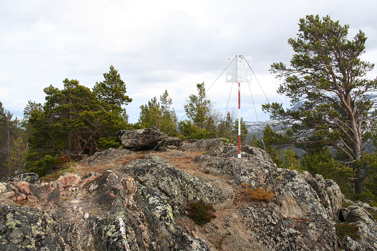
Location: North 61:51.466, East 008:44.931 (GPS at the summit)
Climbed May 11, 2008
Difficulty YDS class 1
Information:
How to get there:
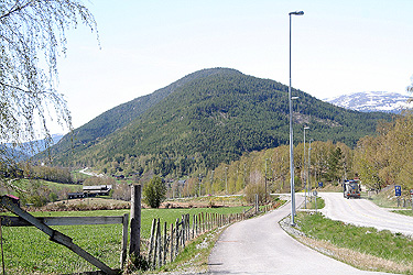
From the traffic circle in Lom, drive 13.2 kilometer towards Otta.
You are now in Garmo. There is a white church above the highway and a side road
going left (towards the river Otta) with a sign saying Sandom. Take this road.
If you come from Otta, pay attention as you arrive in Garmo and make a right when
near the small church.
Drive this sideroad 3.2 kilometer, keep right at the road fork after approximately
0.8 kilometer. You should now have a couple of brown houses on your left. There is
a sign for parking, but it looks sort of private, try to ask about where you may park
your car. This is the trailhead, location N61:51.925, E008:46.003, elevation 394 meter.
Route description:
The trail starts in the garden between the two houses. There is a bell tower and an
outdoor bench. The trail heads uphill just right of the bench. The trail is well marked
with red paint. There are a number of forest (logging) roads, pay attention as the
trail partly follows these, then turns off. However, the red paint marking is quite
good. First, the trail ascends towards the left, further up it turns right and continues
in the same general direction until arriving at the summit.
Comments:
Earlier in the day, I had first tried to access
Nordre Hestbrepiggen, the highest peak in that
general area. However, as I had turned back, I subsequently explored the trailhead for
tomorrows attempt at Kvitingskjølen.
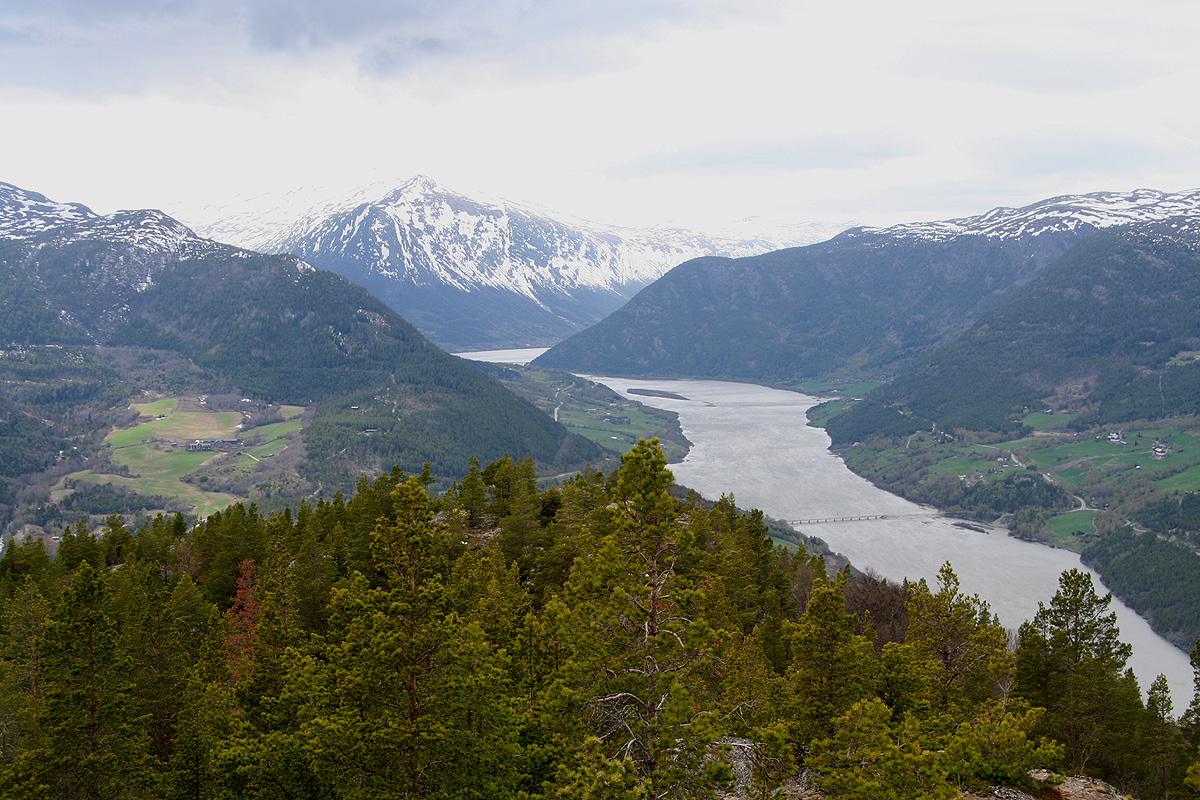
As I drove back down towards Hwy. 15, I caught sight of Lomskollen, a very characteristic
hill located between Hwy. 15 and the river Otta. I had seen this hill many times, but now
seemed like a good time to climb it.
I drove to Sandom and looked for a trailhead.
According to the map, there should be a trail starting here. No such thing. After
some looking around, I parked at what looked like it could be a trail going uphill,
this was several hundred meter further along the road from where the trailhead was.
I headed uphill around 1520, but soon decided that there was no trail. I continued more or
less straight uphill bushwalking. Fortunately, the terrain was quite ok for off-trail
hiking. Eventually, I hit a nice red marked trail, I was already quite close to
the summit at this point. The summit was reached at 1610.
Quite good views towards Lom.
I decided to follow the red marked trail back down in order to find the correct trailhead.
Thus, at 1640, just as I was about to complete my hike, the proper trailhead was finally
located. The trail ran straight into the garden belonging to the houses I had noticed earlier.
No wonder I had failed to find it. You must enter through the gate to the property. You
will then see a garden bench and the trail
starting uphill just right of the bench.