Location: North 22.35300, East 114.18716 (GPS on the summit)
Difficulty: YDS class 1
Climbed October 25, 2019
Information:
How to get there:
Take the green MTR line to Wong Tai Sin. From there, a short taxi
ride can take you to the trailhead. There are really two trailheads,
the higher one called Shatin Pass, a road named Shatin Pass Road is
the one to follow in order to get there. The alternative is a small
park called Lion Rock Park, location N22.34456, E114.18476, elevation
about 85 meter.
Route description:
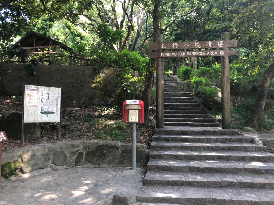
I hiked along a nice trail from Lion Rock Park, partly stone steps.
The trail will make the main crest, you should turn right and follow
the trail to the summit.
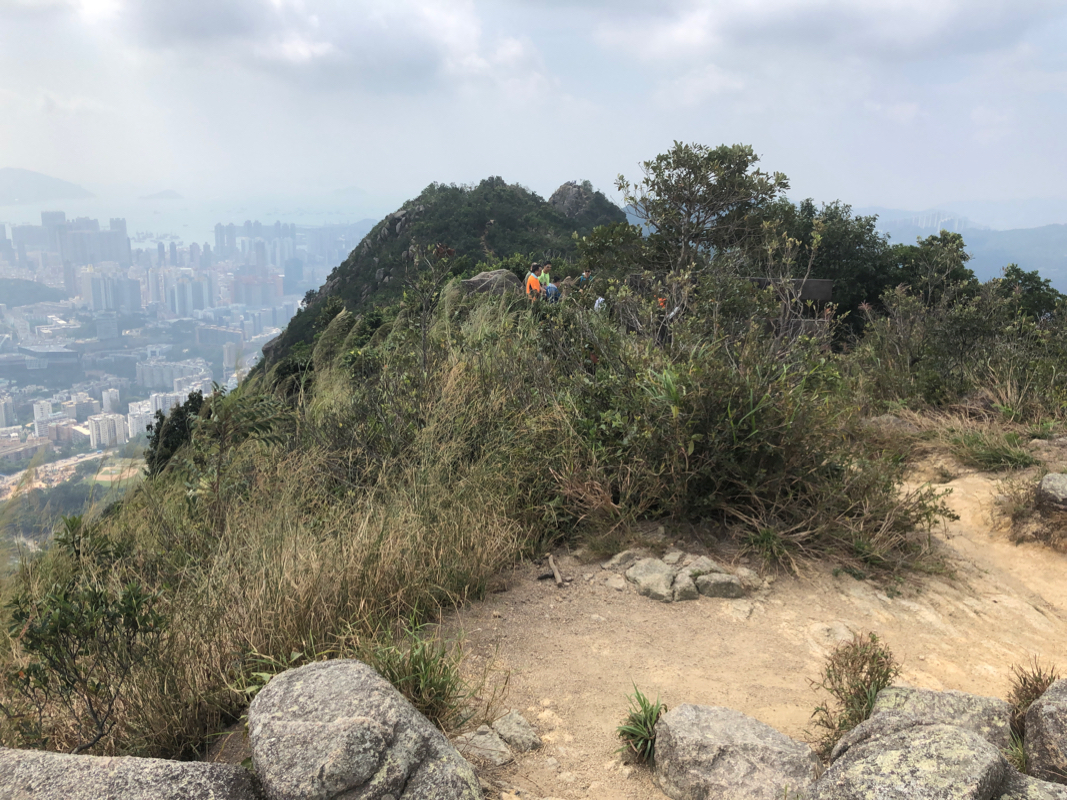
Note that there are 3 summits of roughly
the same elevation. There is no detour in visiting all three.
Continue the trail, it descends steeply with many steps, and follow
the sign to Shatin Pass.
Comments:
I intended the taxi to take me to Shatin Pass, however he drove
me to the Lion Rock Park. Never mind, this was also a perfectly
good starting point. The hike was straightforward, it took me about
one hour to reach the summit. There are three summits, all with pretty
good views of the city. One should take some time to rest and enjoy
the fine views.
I left around 1230 following signs for Shatin Pass. However, back
down on the main trail, I redecided my course and went back towards
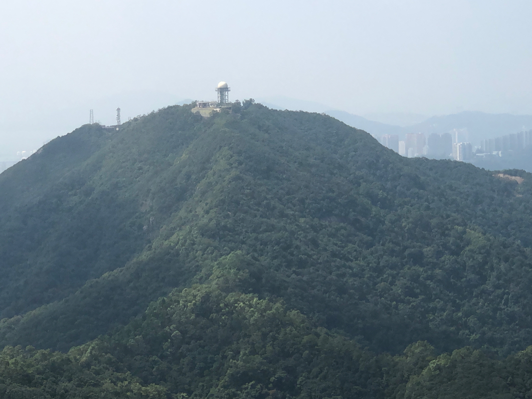
Beacon hill.
On the way there, I took a smaller trail that forked
right, crossed over a small hump, then descended quite a long way
and finally joined other routes in a major trail intersection at
location 22.35639, E114.18063, elevation about 250 meter.
I took the downhill trail, sort of north, from here. This got me
to the well defined trailhead at
N22.36402, E114.18119, elevation about 60 meter. From here, it was an
easy downhill stroll to the MTR station Tai Wai.
