Location: North 60.84345, East 005.53565 (GPS at the summit).
Masfjorden, Norway
Difficulty, YDS class 2
Climbed on November 8. 2020
Information:
How to get there:
Drive E-39 north from Bergen. Just before entering the
long tunnel descending to Masfjorden, exit right, drive under the Hwy,
and head down the Haugsdalen valley. Roughly at 200 meter of elevation,
fork right on a small, paved road serving the farm Fosshaugen. Continue
past this farm and find parking on the left side of the road
shortly before the road crosses the small river/waterfall where a
cattleguard is located. There is parking for one car at this location
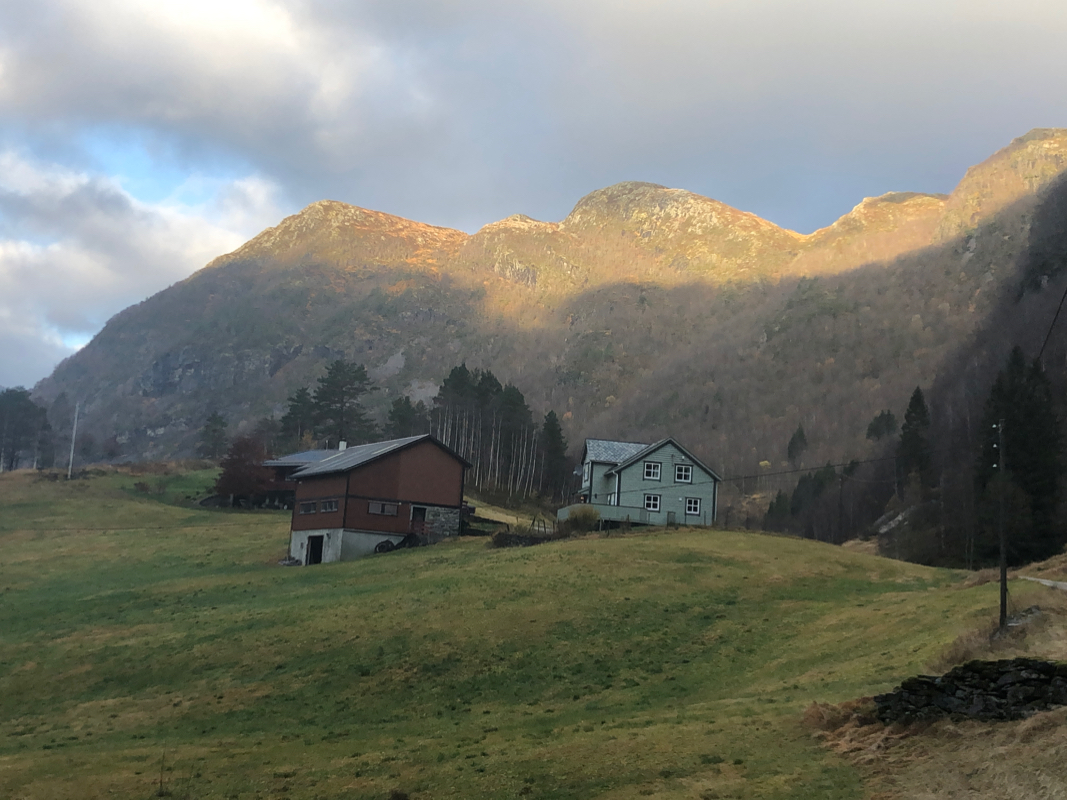
N60.83543, E005.55621. This is about 200 meter before the last farm,
named Bjørnekletten.
Route description:
Walk towards the farm and cross uphill near the farm building to locate
a small gate at the lower end (left side) of a distinct rock fence that
runs uphill. Cross through this gate, the small trail starts here and heads
directly uphill, away from the stone fence. Higher up, the trail crosses
a small creek, continues a bit left before turning right while climbing the
hill having the creek on your right hand side.
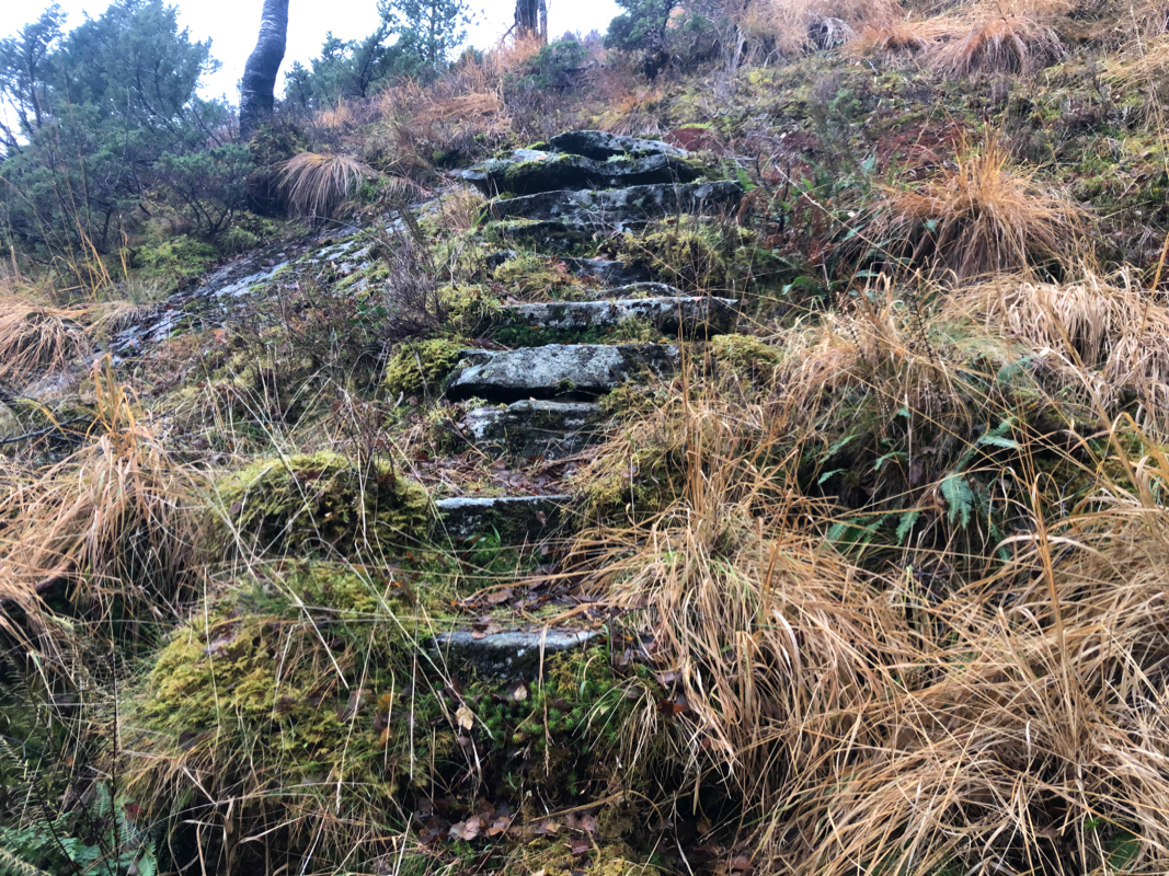
The trail is quite nice and one may see that the farm improved it many
years ago, making stone steps to
facilitate walking. The trail ascends
a small ridge, then climbs the final slope to reach the col connecting
to Smørdalen valley going north.
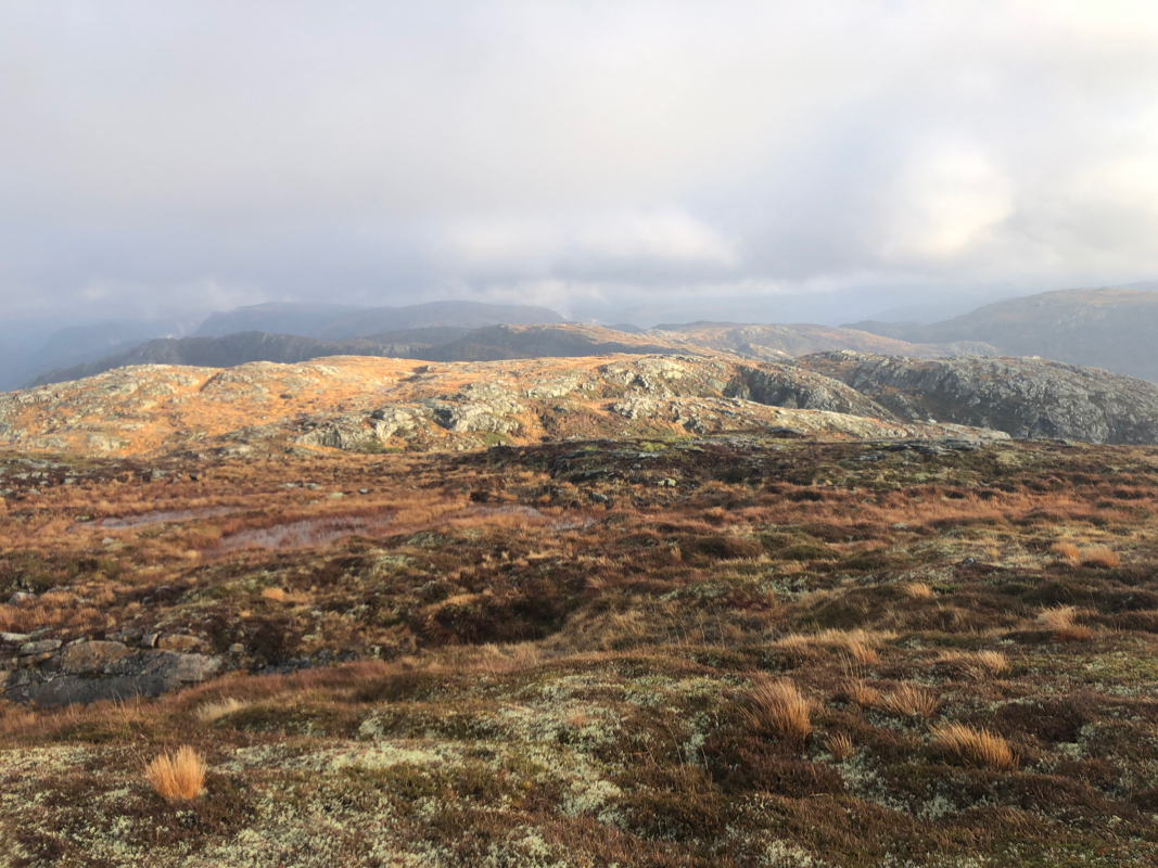
Ascend left from this col and cross a small plateau, staying a bit right
will avoid some steeper cliffs when making the small descent needed before
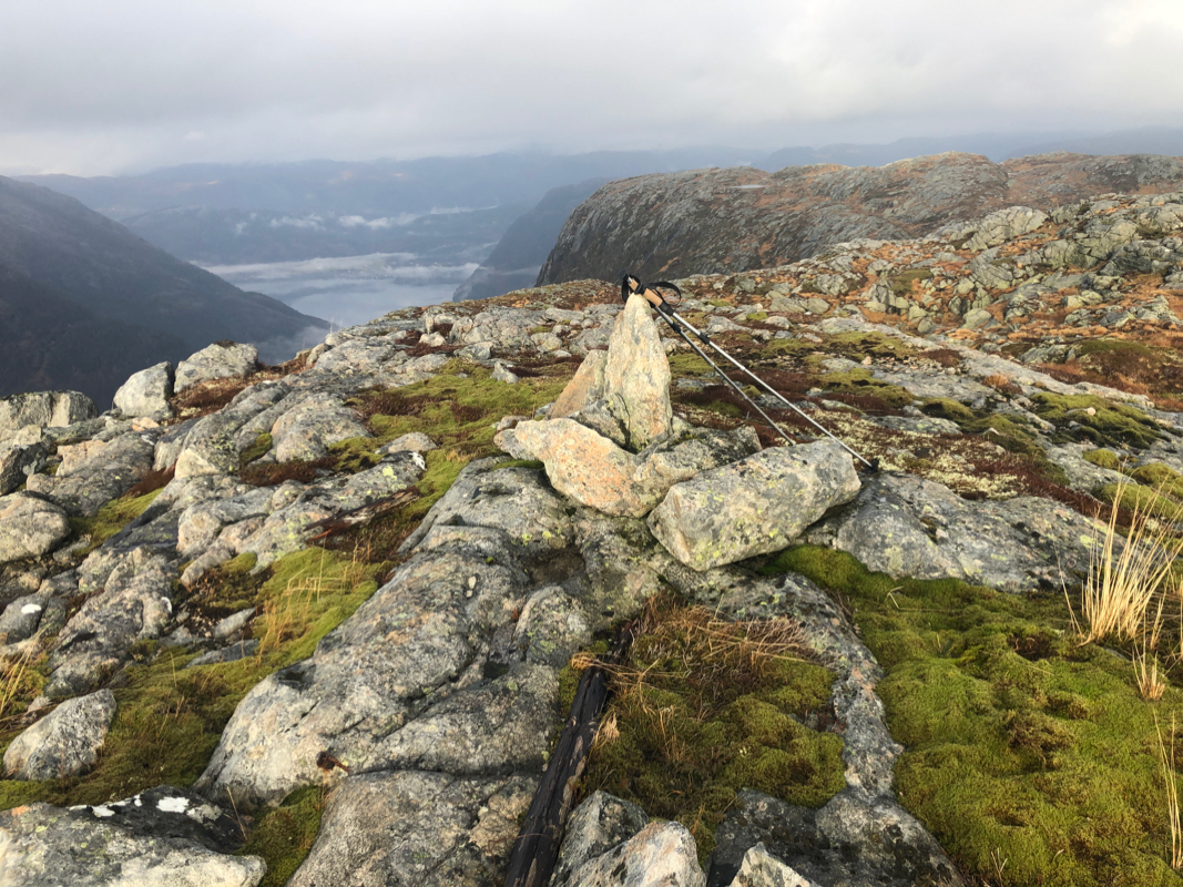
ascending Lauvtonipa. A single rock
is placed to mark the summit. Comments:
I started at 1050 and had a nice hike up, arriving at the summit at 1155.
Pretty good views all around. I left at 1205 and headed across towards
Svartetjørnfjellet.
