Location: North 63.29833, East 010.64324 (GPS at the summit).
Hordaland, Norway
Difficulty, YDS class 2
Climbed on February 25. 2021
Information:
How to get there:
From Trondheim, locate the lake Jonsvatnet. Drive along its east side, Hwy. 6660,
continue south on Hwy. 6674. At the south end, leave the lake going south on
Hwy. 6676. Locate a big parking area on your left after aa few kilometer.
This location is N63.31581, E010.66300, elevation about 320 meter.
Route description:
Cross the road and follow the established ski track to
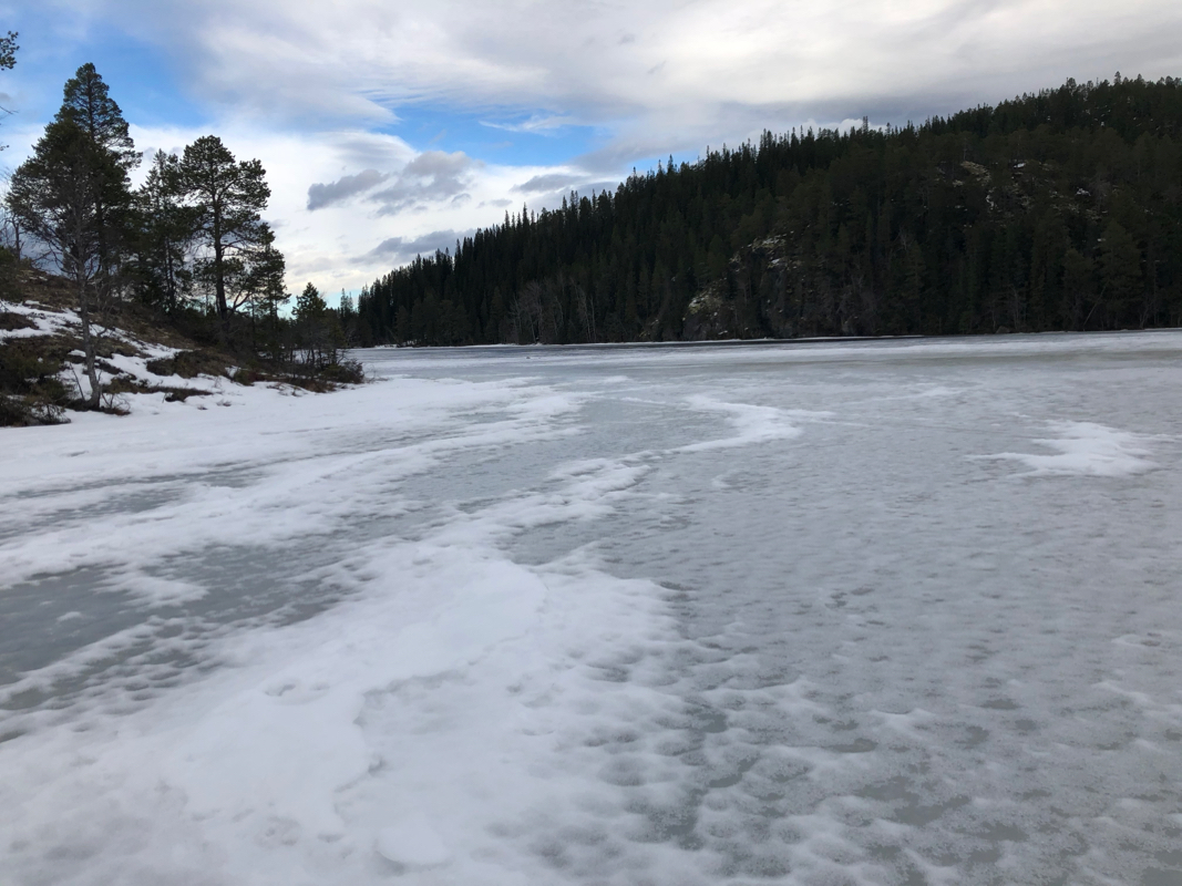
the lake Svarttjønn,
elevation 329 meter. Cross this
lake to its south-west end where you locate a amall drainage.
Ascend this small drainage along the creek to gain a meadow located
east of Langåsen. Turn Langåsen on its south side, then
ascend the short, final slope to gain the summit.
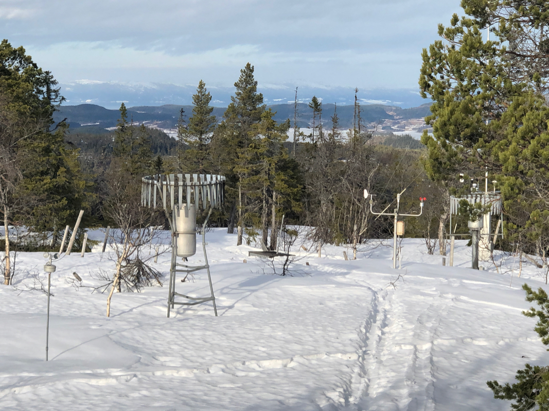
There are a few pieces of communication gear
on the summit, but the highest
point is a bit south of these.
Comments:
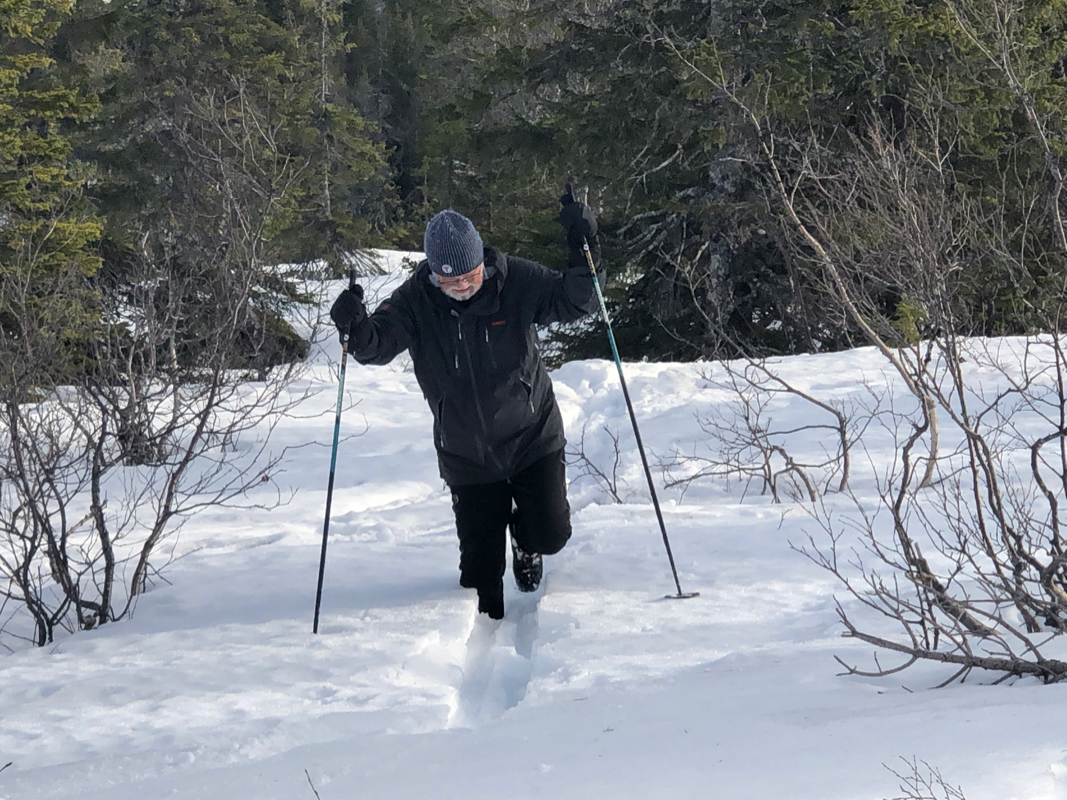
I did this trip with my friend Jostein. The weather was ok, however the
skiing conditions were miserable. It had been warm 5-8 Centigrade for almost
a week, the snow was melting fast. Outside of tracks one would just fall
through in wet snow. The tracks were pure ice and hard to ski on.
We left the car around 1115 and skied cross the lake, blue ice with some
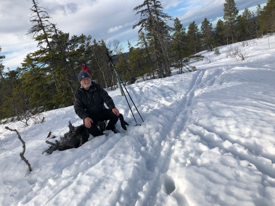
water. Making track up the small valley was hard work. The summit area was
almost free of snow. Arriving at 1215,
the trip up was about one hour.
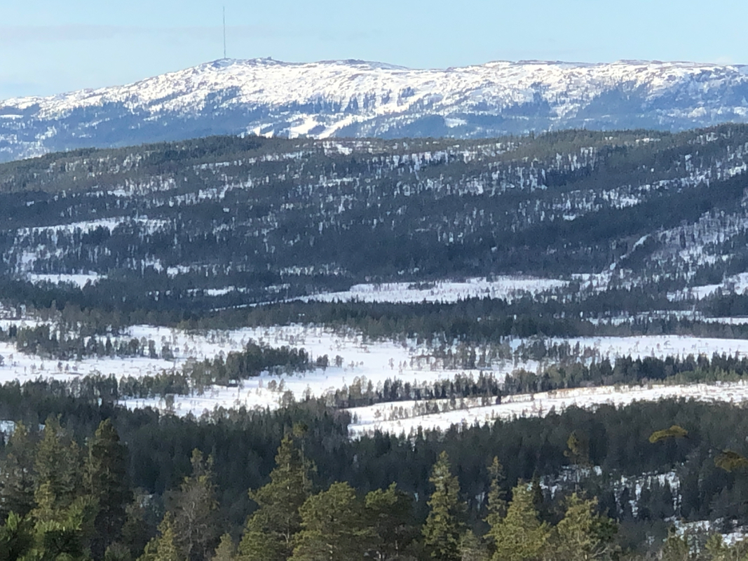
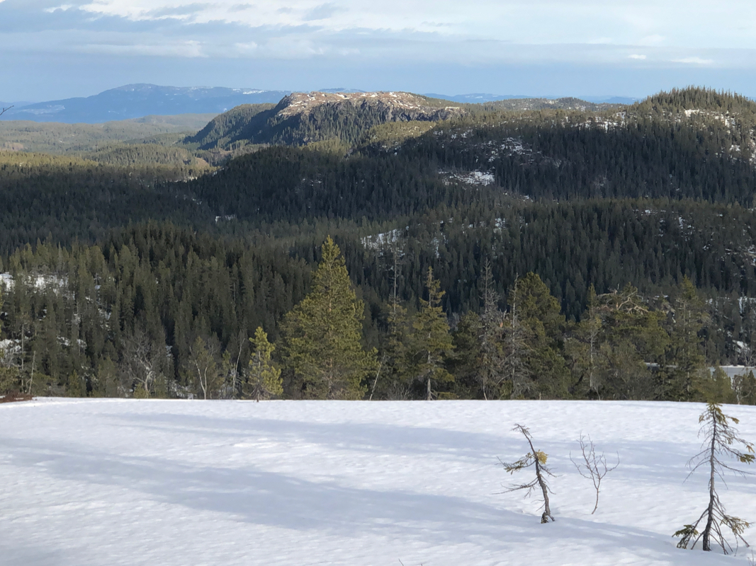
Pretty nice views, we stayed for
about 15 minutes, then returned the same way.
