Location: North 60.83445, East 005.67697 (GPS on the summit)
Difficulty: YDS class 2
Climbed: November 4. 2021
Information:
How to get there:
Drive E-39 north from Bergen. As the road heads inland in Romarheim, you pass
Hwy. 569 serving Modalen and connecting to E-16 near Dale. From here, continue
north on E-39 about 5.4 kilometer, locate the exit right to Dyrkollebotn. Take
this road, when you get to the lake, continue right on a small, but good dirt road.
When you get to the north side of the lake, park on the left just before a small
bridge. This is location N60.80048, E005.63937, elevation near 350 meter.
Route description:
This description starts from the summit of Godbotsfjellet.
Continue north-east along the main ridge, descend slightly (east) right when the terrain
allows without causing problems. There is a very natural and easy slope that will
connect you with the col separating the two peaks. Next, ascend directly up the somewhat
steepish slope from the col. The slope eases higher up and a pretty obvious route (tending left)
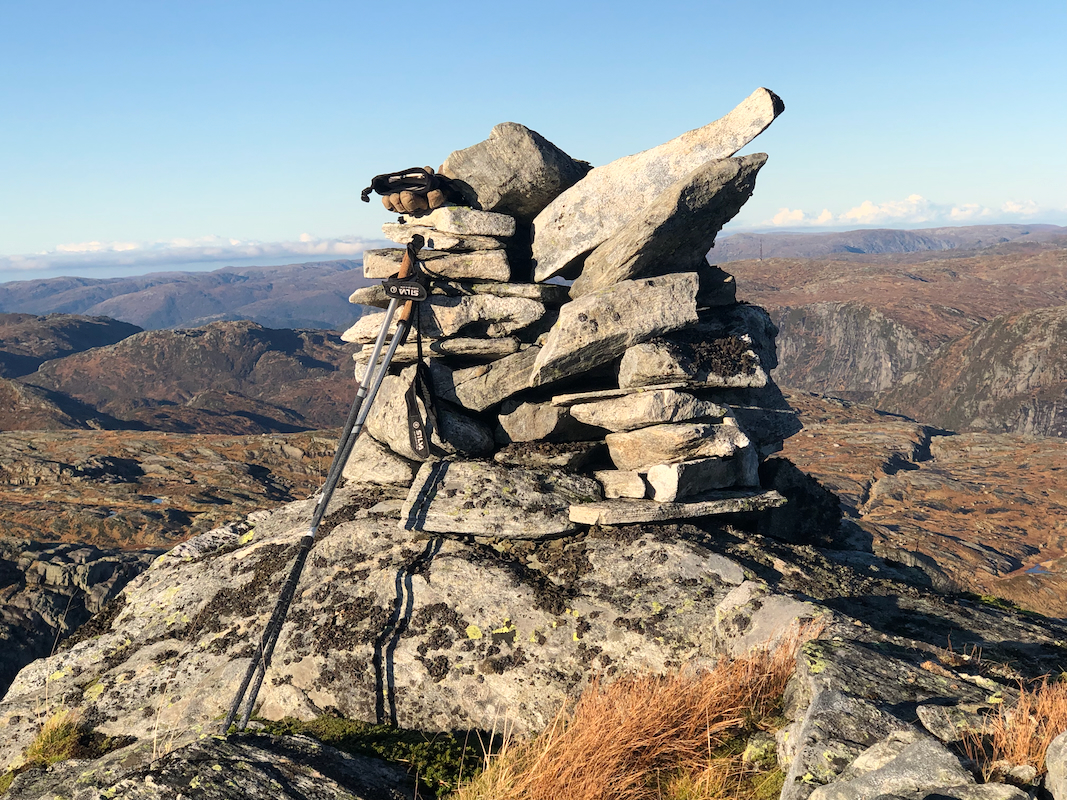
will lead you to the summit. The summit has a small, but nice cairn.
Next, the route from this summit, directly back to the trailhead. (Reverse this if
Kupefjellet is your only objective.)
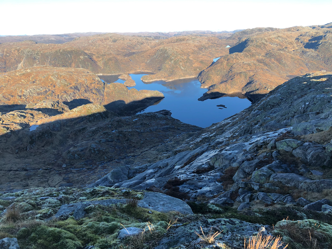
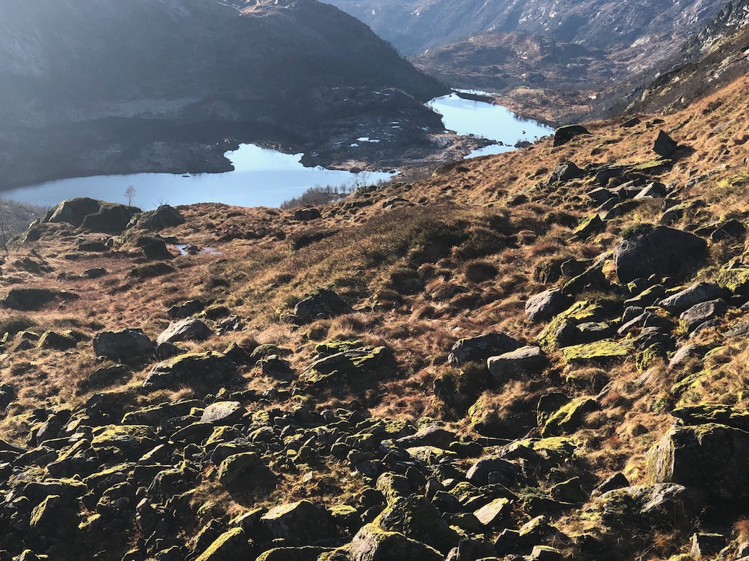
First, descend south-west staying east of the highest ridge, but also above the small
valley on your left. Small cairns indicate a pretty nice route. This will take
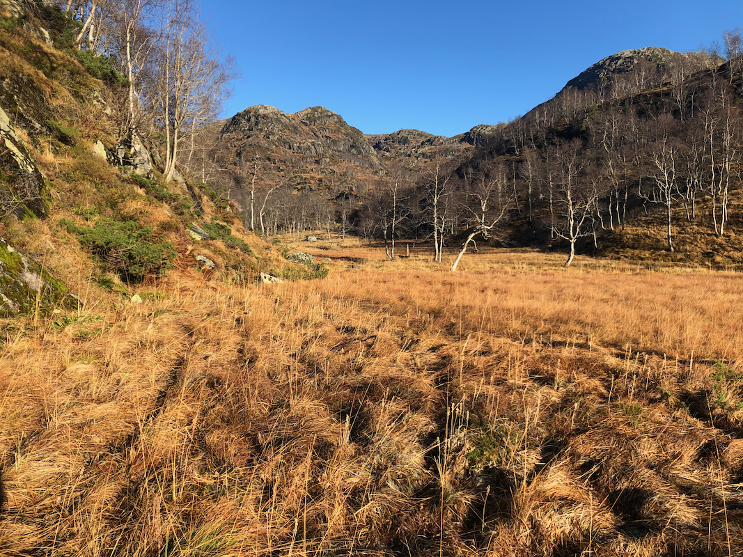
you into the Nordalen valley where you merge with the trail marked with red "T"s.
Follow this trail all the way back to the trailhead.
Comments:
I left Godbotsfjellet around 1045 and had a leisurely walk, lasting about 45
minutes in order to reach the summit of Kupefjellet.
Next, it was time for returning to the trailhead and my car. I followed a route marked
with small cairns. This led me into the valley where I ran into the trail coming from the
DNT hut Skavlabu. From there, I followed this trail all the way back to my car at the trailhead,
arriving there at 1330.
