Location: North 61.00751, East 010.19151 (GPS on the summit)
Difficulty: YDS class 2
Climbed: April 17, 2014
Information:
How to get there:
This mountain is located close to the Hwy. connecting Dokka with Lillehamer (Vingrom).
Drive approximately 27 kilometer from Dokka, this is about 4 kilometer before Storlondammen,
the crossing of the river Vismunda. A small, local road turns right (east) at this location,
N61.01727, E010.16234, elevation about 800 meter. Park here, or drive about 500 meter on this
side road until you find a road fork, park here without blocking any roads. This location
is N61.01356, E010.17150, elevation about 780 meter.
Route description: Head east and more or less directly up the first broad
ridge that comes down to the meddow. Follow this line, it will
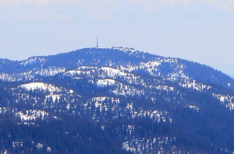
take you to the summit. The summit has a large antenna on the top.
Comments:
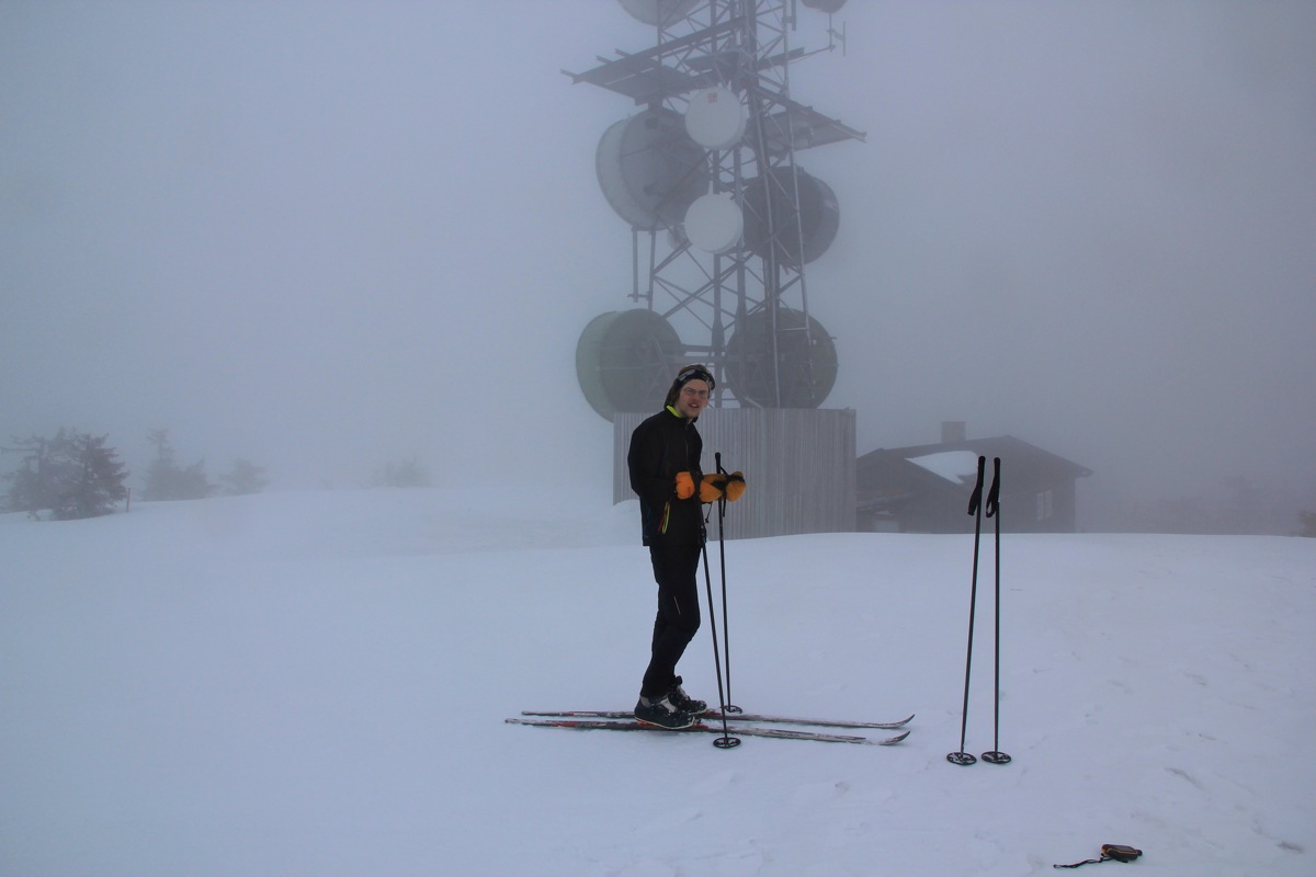
This was Thursday in Easter week and the first very grey
and foggy day. I decided to explore this hill, located near
my mountain cabin. Pål Jørgen and I drove to the
trailhead and we left at 1420. The weather was foggy indeed, we could not
see the mountain. We skied directly uphill and arrived
at the large antenna at 1455.
Leaving at 1500, we skied back down in 25 minutes.