Location: North 60:26.193 East 005:12.578 (GPS on the summit)
Difficulty: YDS class 1
Climbed March 11, 2012.
Information:
How to get there:
Drive to Askøy. Continue north along the main road.
Continue a bit more than 5 kilometer after you exit the bridge.
This should get you to Kråvik where Hwy. 217 forks right.
This road cuts across east to Erdal. Follow this road approximately
1.2 kilometer and park at the trailhead. There is parking on either side of
the road here. The location is N60:26.782 E005:12.094, elevation about 45 meter.
Route description:
Follow a nice and well marked trail to the summit. It has a couple of
slightly steeper sections where a rope with knots has been placed for
extra handholds. Shortly before the summit, another trail merges from
your left (likely from Erdal).
Comments:
I left my car at 1515 and arrived at the summit after 30 minutes at 1545.
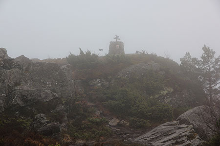
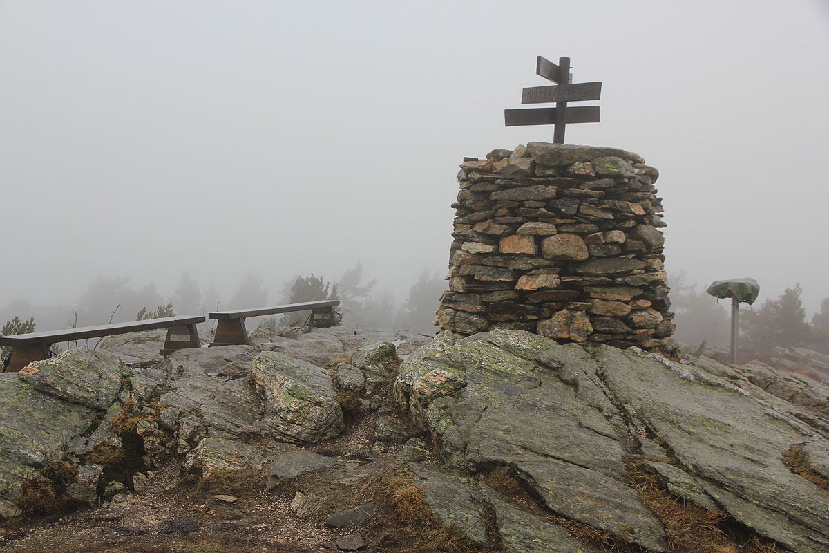
The summit area is nice and most likely has a view if the weather permits.
The return hike took slightly less and I was back at my car around 1615.
This trip continued to Ospåsen.