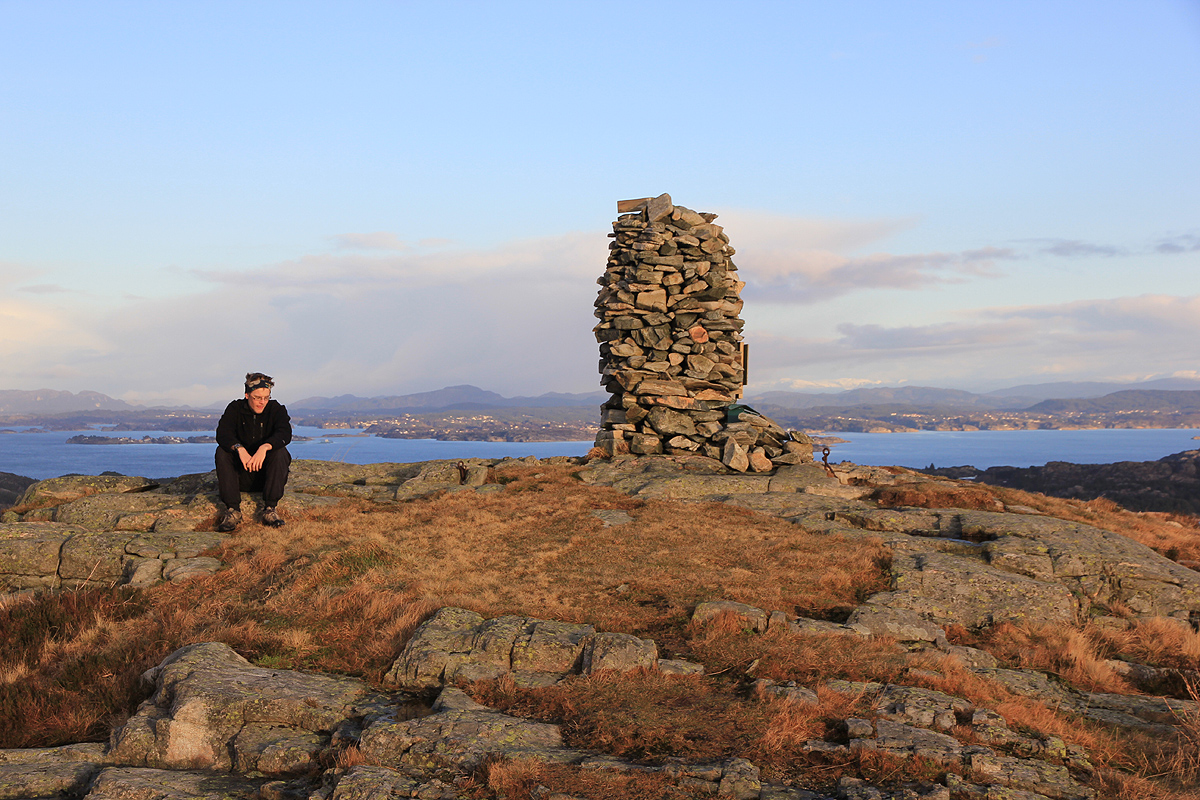
Location: North 60:22.183 East 005:02.545 (GPS at the summit)
Difficulty: YDS class 1
Climbed December 30, 2011
Information:
How to get there:
Drive from Bergen to Sotra. When you exit from the long tunnel, turn right
in the traffic circle (Hwy. 561).
Turn left shortly after you exit a small tunnel, this road is named Fjæreidevegen.
The road ascends gently, soon you will enter a U-shaped (180 degree) right turn.
Pull over to the left in the bend, there is a small space for one car off the road.
This is the trailhead, location N60:22.392 E005:02.874, elevation about 64 meter.
Route description:
Walk along the road until the U-curve is about to end. Leave the road to your left
along some vague trail or possibly more looking like a small creek. The path turns into
a trail that can be easily followed to the summit.
Comments:
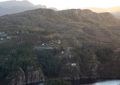
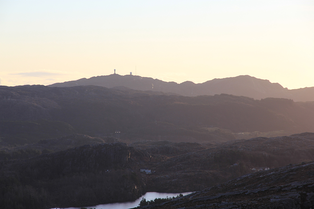
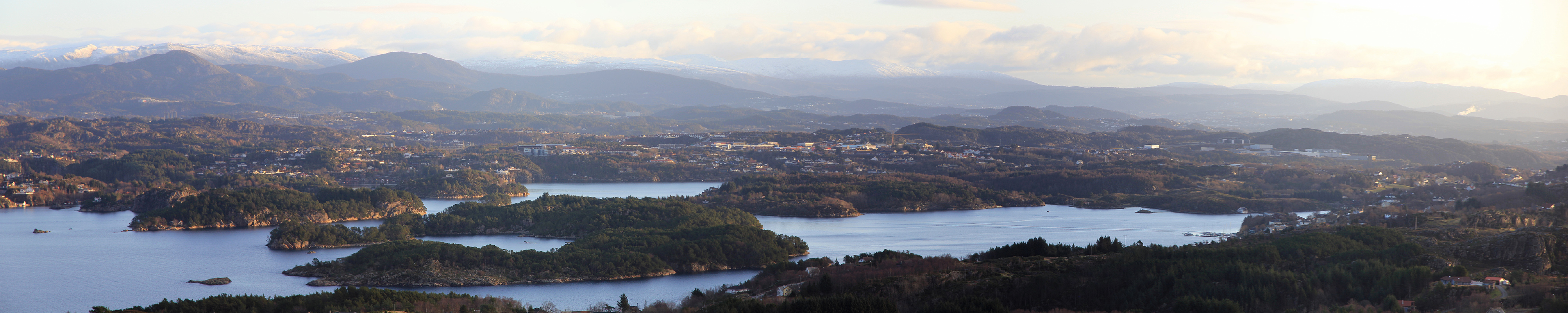
I did this hike with Pål Jørgen. We left around 1140 and made the summit
around 1155. Nice view in a low December sun. We returned to the car around 1210.